Discover Hydra
Discover Hydra

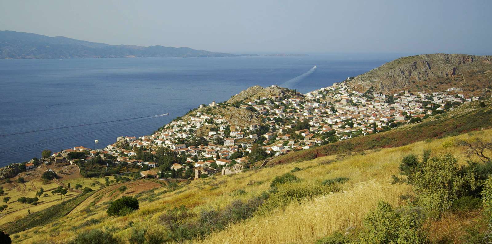
The island of Hydra belongs to Argosaronikos, a small archipelago of several large islands and many smaller islets.
Hydra island is administratively and economically depended on Piraeus, which is in a distance of 35 NM away.
The shape of the island is oblong, with a length of about 20 km and a width ranging from 2 to 4 km. Its total area reaches 52 sq. km., while its coastline is fairly (but not deeply) folded and reaches 55 km.

The entire island has a mountainous topography - it consists in fact by a single mountain range, where the peaks of Pyrgos (557 m), Ompori (518 m), Malies (464 m) and Gerakina (348 m) are discerned. The highest peak, Eros (or Ere, as called by the locals, 592 m) is situated in the centre of the range.

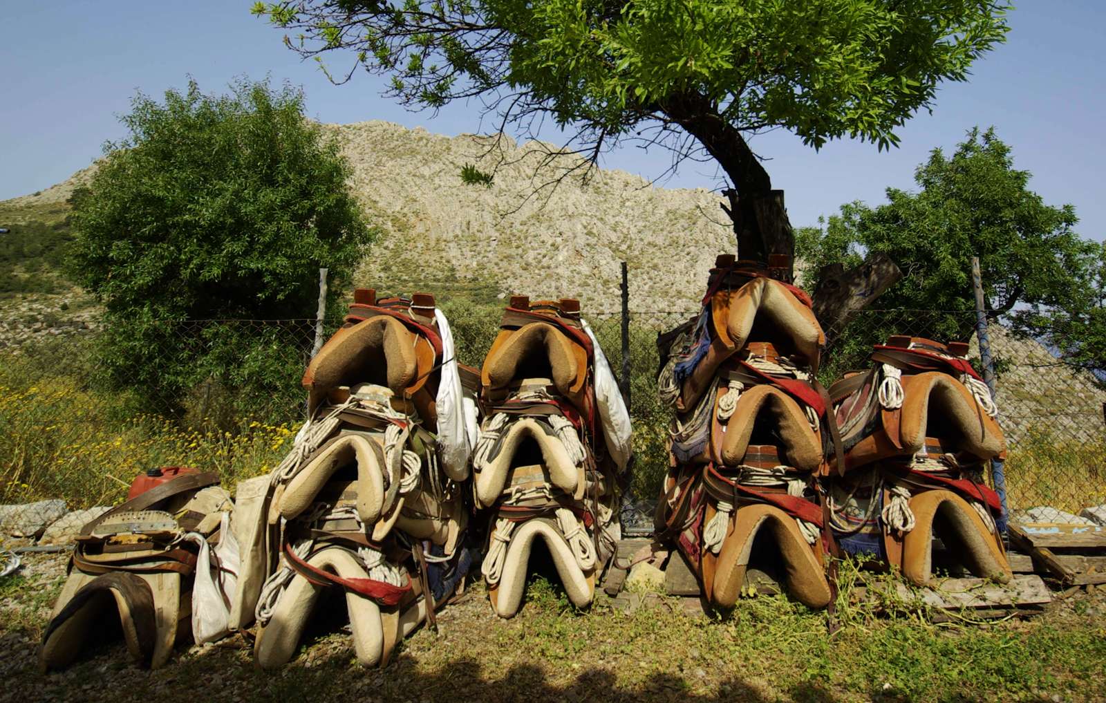
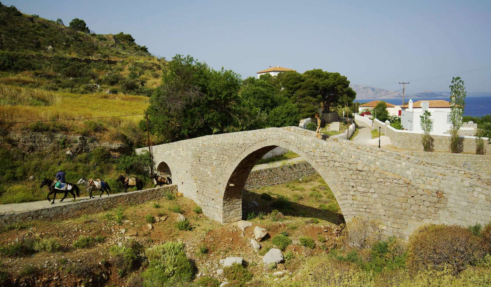
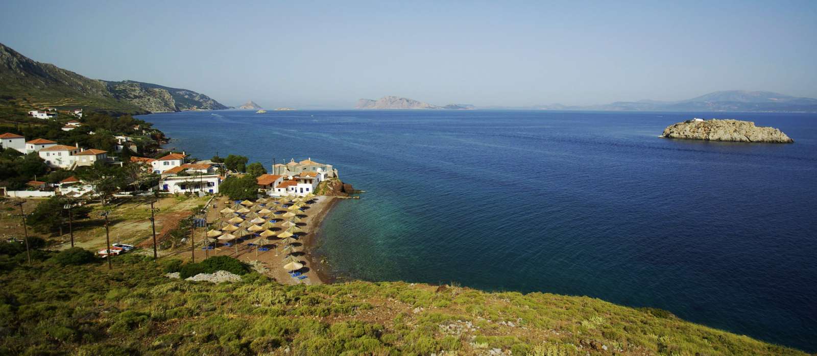
Hydra is the only - inhabited - island in Greece where wheeled vehicles are not allowed to disembark and circulate. Thus, even if there are some dirt roads, all people - residents, visitors, young, elder - hike. Most of the trails are in good condition and lead to a monastery, a hut, a beach or a chapel.
The main hiking network is waymarked and signposted.

Text and photos: T. Adamakopoulos
The best companion to discover Hydra is Hydra topoguide, a complete exploring and hiking guide for the island. The guide is available for Android devices via the general app topoguide Greece, as well as for iOS devices (iPhone and iPad).
The app offers an extended introduction on the geography, the nature and the history of the island.
The app includes data, photos, POIs and descriptions of 14 hiking routes. Once in the field, the application identifies the nearest routes and offers the user active navigation.

