Pyrgos-Exo Gonia loop trail
Pyrgos-Mesa Gonia-Exo Gonia-Pyrgos
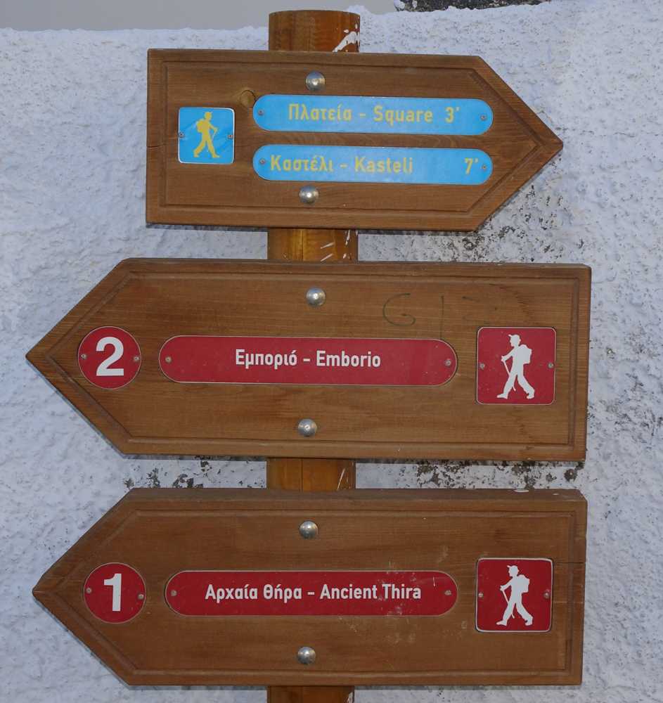
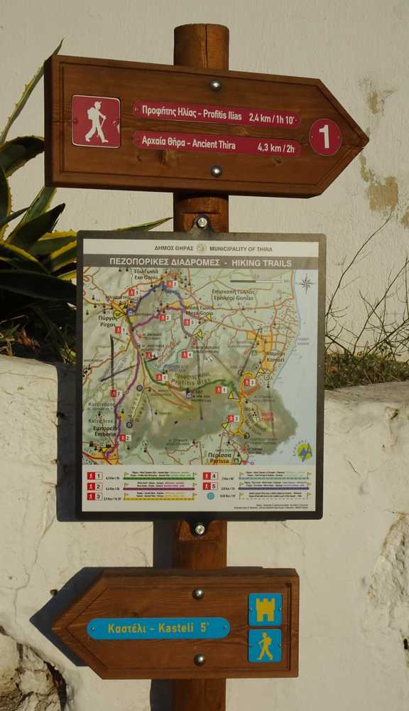
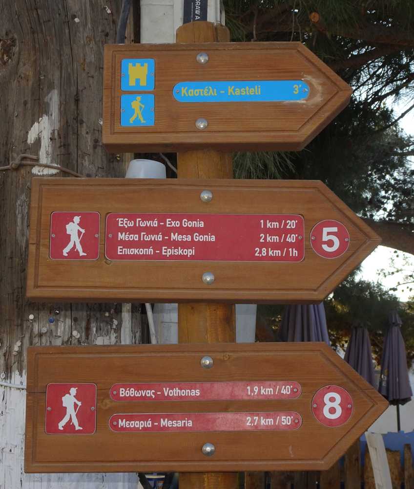
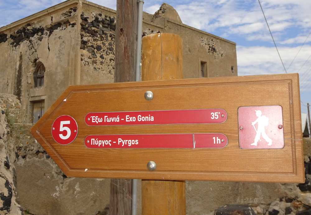
The trail starts from the square of Pyrgos and is initially directed through the cobbled streets of the village to the south. Leave Pyrgos to descend to the east. Reach the edge of Mesa Gonia and follow for a while an asphalt road, untill the church of the Archangels. There, descend to the right and walk 400 m along a pathway to another asphalt, next to the Argyros Canava.
Follow an old, somewhat abandoned, path, and reach a cement road serving Exo Gonia. Going up the road and cross Mesa Gonia untill the big church of Aghios Charalambos. From there, use a combination of streets and paths to get to Aghios Christophoros, on the north side of Pyrgos. Follow the path that runs along the east side of the fortified section of Pyrgos and reach the starting point.
Identity
Pyrgos loop trailHiking route
Waymarking: Trail 5
Difficulty: 2/5
Return to start: Loop
Aesthetic value: Exquisite
Metrics
Length: 3798 mTime: 2h
Min elevation: 90 m
Max elevation: 342 m
Total ascent: 251 m
Total descent: 247 m
Trail analysis
Paved road: 15%Path: 85%

topoguide Greece
Hiking in Santorini
The digital field guide Santorini topoguide is available for Android devices as an in-app purchase within the application topoguide Greece. Santorini is a member of the Greek Islands group.
Santorini topoguide is also available as an in-app-purchase for iOS & iPad devices via the global hiking app Topoguide Greece app. There again, Santorini topoguide is a member of the Greek Islands group.
topoguide Greece offers active guidance along the trail, as well as an extended guidebook on the geography, the nature and the history of the area.
