

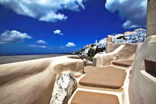
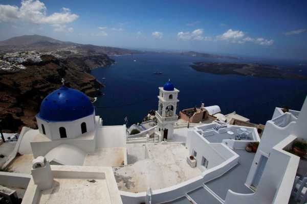
Imerovigli-Skaros
Imerovigli-Skaros
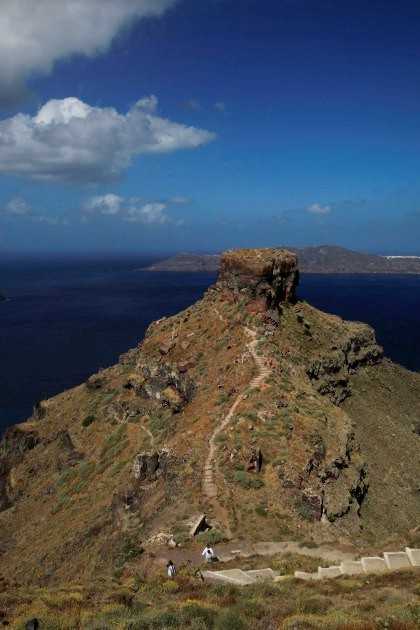


The cobbled path starts in Imerovigli and after passing the first steep front reaches Skaros col. From here, after the ruins of a large church, beginns the short ascent to the Epano Kastro (Upper Castle), where the trail ends at the base of the removable wooden bridge.
The path continues a little longer downhill, passing by the tower of Kato Kastro (Lower Castle) and ends at the big church of Panagia Theoskepasti.
Identity
Imerovigli-SkarosHiking route
Waymarking: Blue dots
Difficulty: 1/5
Return to start: One way
Aesthetic value: Exquisite
Metrics
Length: 1108 mTime: 0h30
Min elevation: 212 m
Max elevation: 360 m
Total ascent: 39 m
Total descent: 133 m
Trail analysis
Paved road: 17%Path: 83%

topoguide Greece
Hiking in Santorini
Detailed descriptions, metrics, photos and maps of the trail Imerovigli-Skaros are included in the digital field guide Santorini topoguide.
The digital field guide Santorini topoguide is available for Android devices as an in-app purchase within the application topoguide Greece. Santorini is a member of the Greek Islands group.
Santorini topoguide is also available as an in-app-purchase for iOS & iPad devices via the global hiking app Topoguide Greece app. There again, Santorini topoguide is a member of the Greek Islands group.
topoguide Greece offers active guidance along the trail, as well as an extended guidebook on the geography, the nature and the history of the area.
