Discover Mani
Discover Mani
Geography outline
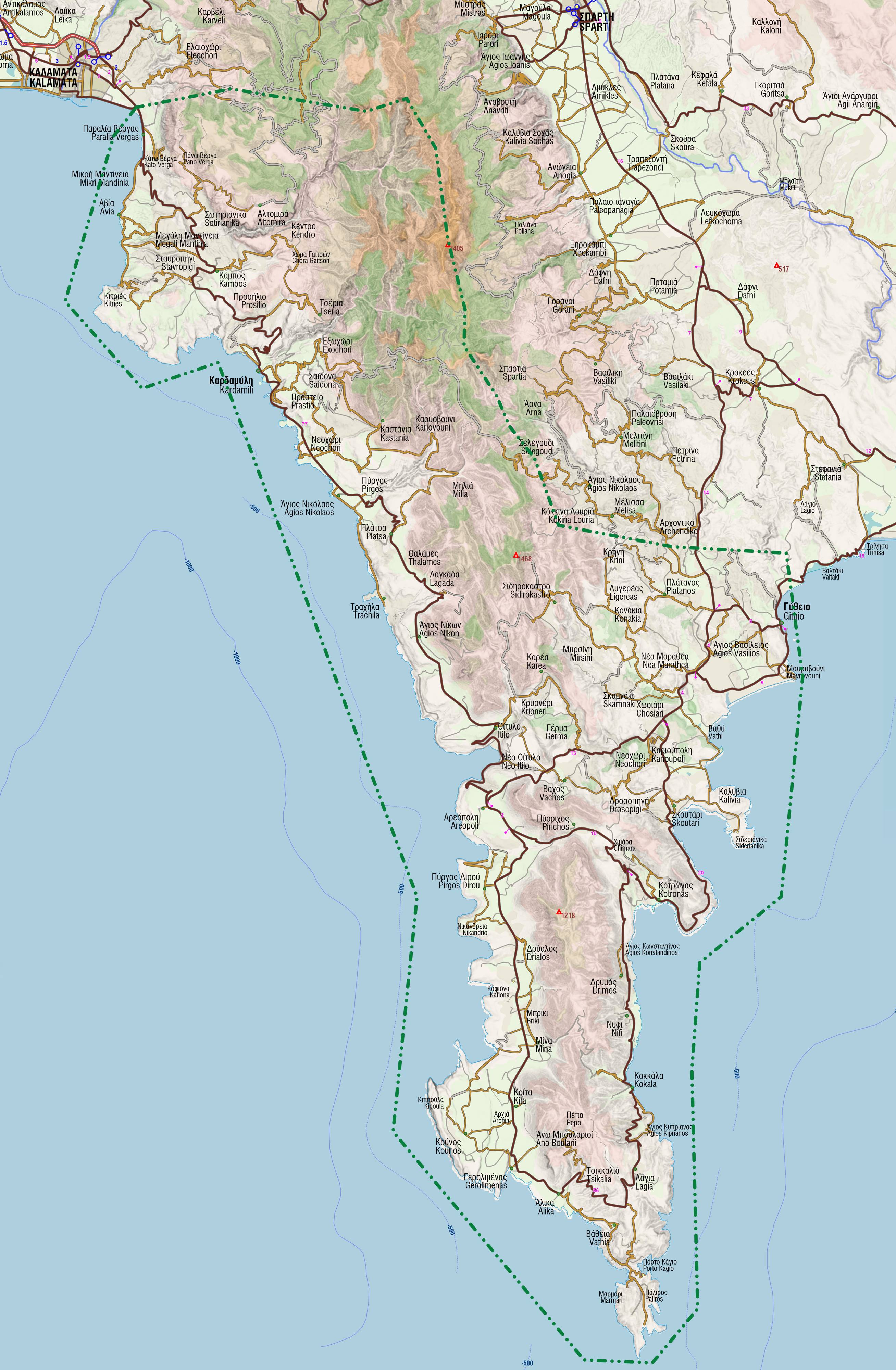
Mani covers the area of the middle of the three peninsulas of the Southern Peloponnese, facing the Messinian Gulf to the west and the Laconic Gulf to the east. The northern boundary of Mani follows a fuzzy line that starts from Verga, near the southern suburbs of Kalamata and through Mt Kalathion reaches and follows Mt Taygetos crestline till the lowland to the north of Gythio. To the south, Mani ends at the isolated Tenaro Cape (Kavo Matapa), the southernmost tip of mainland Greece.

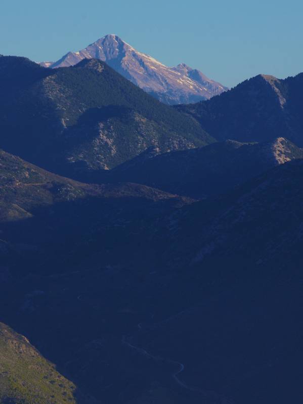
The mountainous areas of Mani are formed by Mt Taygetos, Mt Zygos and Mt Sagias. From a geographical point of view, the area of Mani is divided into the Eastern Mani, belonging to the district of Laconia, and the Western Mani, which overlooks the Messinian Gulf. Further, in Western Mani we distinguish the Exo Mani (Outer Mani) and Mesa Mani (Inner Mani), while the Eastern Mani is often referred to as Lower Mani.
Historic outline
The name Mani derives from the term Maini known since the 10th century, and refers to both the geographical area and the ecclesiastical region, which was called the Diocese of Maine.
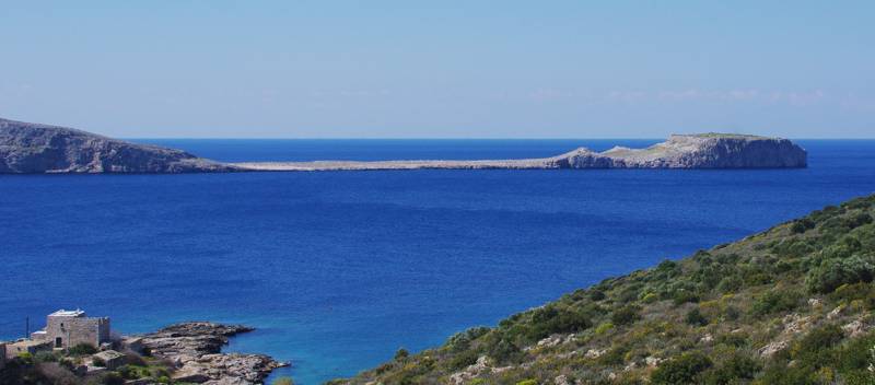
Mani has been inhabited since prehistoric times. There are several cities already mentioned in the Homeric Epics, such as Oetylo, Kardamyli and Gythio. The ancient cities of Sparta and Farai (today Kalamata) maintained significant refuge and harbours in the mountainous relief and the inaccessible coastline of the peninsula. The prosperity of the region continues in Roman times, but also in the Byzantine period.
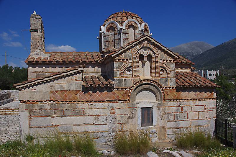
In the post-Byzantine period, Mani maintained the authenticity of its monuments, as Turks never settled in the area. The very important byzantine churches were not destroyed or modified, and countless smaller chapels were constructed. Today Mani is a - literally - open museum of Byzantine church building: more than 1,800 churches of Byzantine and post-Byzantine times are known.
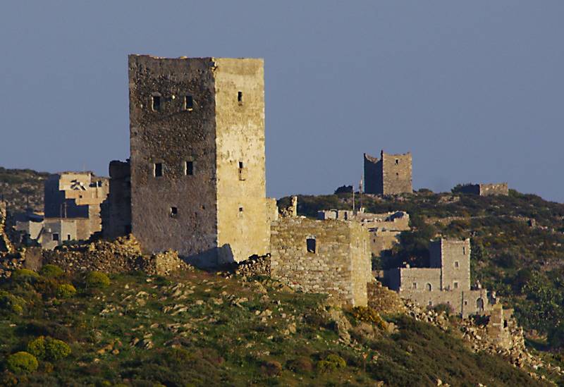
Another characteristic element of the Mani landscape is the towers and fortified houses, these impressive, multi-storey buildings designed to both protect the owners and to promote their economic and social power. All the settlements of Mani, from the rich Avia to the poor Tenaro, are full of the imposing tall towers of the 18th and 19th centuries. Some settlements, such as Vathia, consist almost exclusively of towers.
The settlements
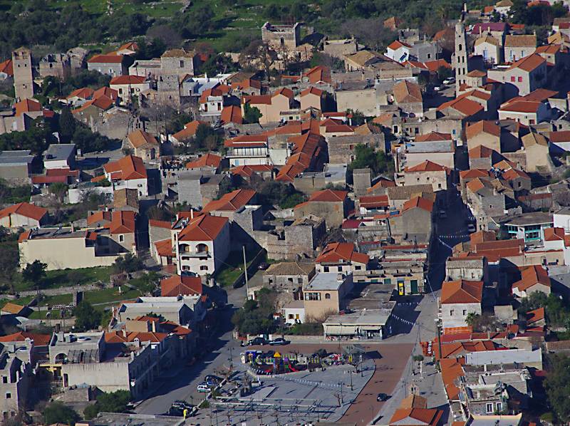
Largely due to scattered natural resources, but also for historical reasons, the population is living in numerous - about 500 - very small settlements, many of which are not inhabited today. The main settlements are Kardamyli, Areopoli and Gythio, which have administrative roles - Kardamyli is the seat of the municipality of West Mani, while the municipality of East Mani has a historical seat in Areopoli and an adimistrative seat in Gythio. Kambos is also the historic local center of Abia, today overshadowed by Kalamata.
Nature
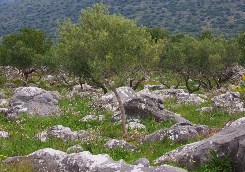
Shielded from outside, but completely conquered by her own children, Mani has not even a centimeter free of human footprint. Its landscape, lively and bright, reflects the profound impact of a society that has struggled to survive in a poor and difficult environment.
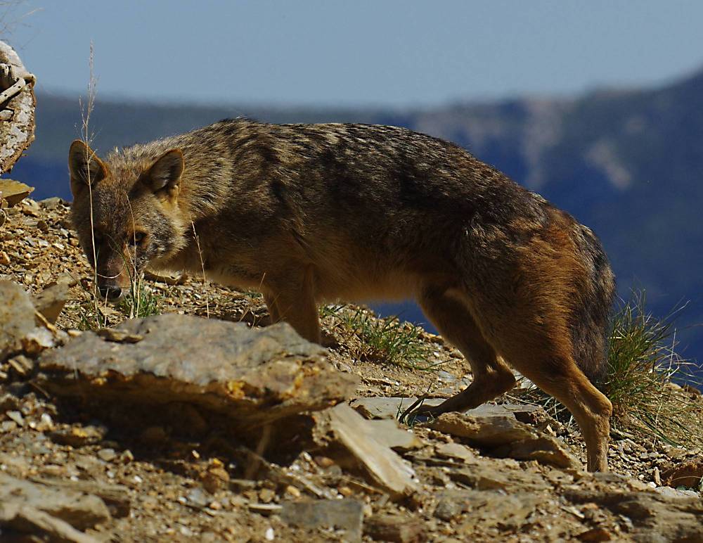
Despite this intense human-nature confrontation, it is very interesting that traditional techniques of resource utilization, even in a deeply poor environment, have left many opportunities to the wild life. Thus, Mani is one of the few areas in Greece that hosts the Jackal (Canis aureus). Jackal population in Mani is quite healthy; Jackal is the only predator larger than the fox that managed to survive in the Peloponnese.
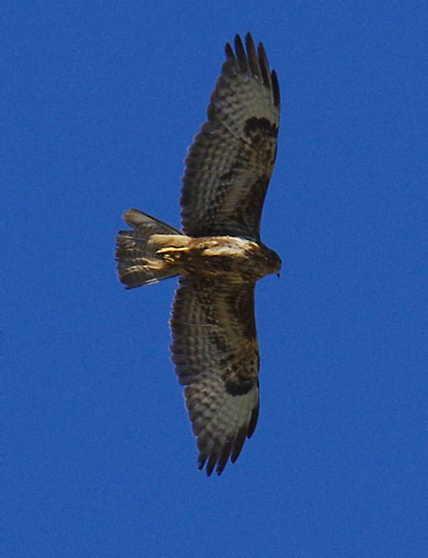
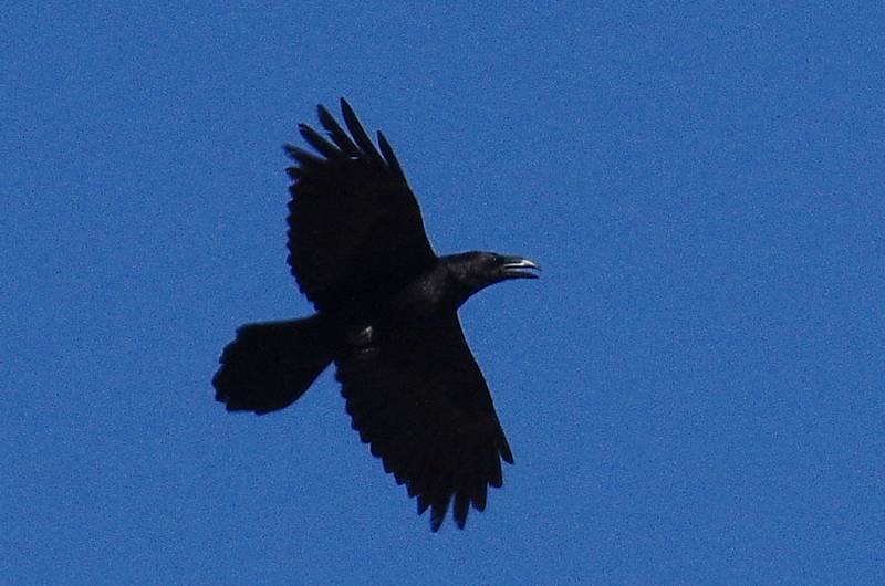
The avifauna of Mani is also remarkable, as the aera is one of the most important inland places of the migratory routes for birds. The most common predators, such as the Common buzzard (Buteo buteo), can be found everywhere, with small groups of Ravens are roaming along the ridges.
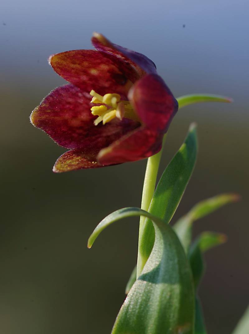
Even more interesting is the flora of Mani. In its remarkable diversity includes many rare plants, endemic of the Peloponnese or even narrow-range endemic species, such as Fritillaria davisii, endemic to Mt Sagias and Cape Tainaro, Allium maniaticum that grows only on the rocks of Gerolimenas, Asperula taygetea, endemic to the Peloponnese, Kythira and Western Crete, Helichrysum taenari, endemic to Cape Tainaro and Cape Maleas, Lithodora zahnii, a narrow endemic, known from a few places (Lagada, Sotirianika and Kardamyli), Onosma sangiasense, endemic of Mt Sagias, and Hymenonema laconicum, endemic to southern Peloponnese.
Western Mani
The western part of Mani, though bound to the east, has always belonged to the Messinian sphere of influence and finds is inextricably connected to Kalamata. A theater of major historical events, Western Mani has developed a peculiar array of social and cultural elements, mixing primordial and modern attitudes and creating a unique local culture that looks almost insular. In the context of its harsh landscape, this culture is expressed by the defensive nature of the houses (in the shape of small towers), the techniques of subsistence economy, as well as the social rules that create a framework of very conservative traditions and customs. Mani is the place to study a different society and hiking is the most appropriate introduction to its world.
Hiking in Mani
Interconnected with hundreds of kilometers of paths from the beginning of history, the villages of Mani met the tarmac road relatively recently. On its rocky soil, modern roads were forced to zig-zag to avoid the gorges and the deep ravines. Thus, many of the paths and cobbled pathways of Mani were preserved and were used by the locals. Subsidised by local and european programs, several hiking networks were developed, spreading across the peninsula from Avia to Cape Tenaro. However, these networks were never maintained, so much of them have now been closed down by vegetation - the thorny bushes of Mani make crossing absolutely impossible. However, the remaining trails are enough to give the hiker the joy of wandering to this blessed place.
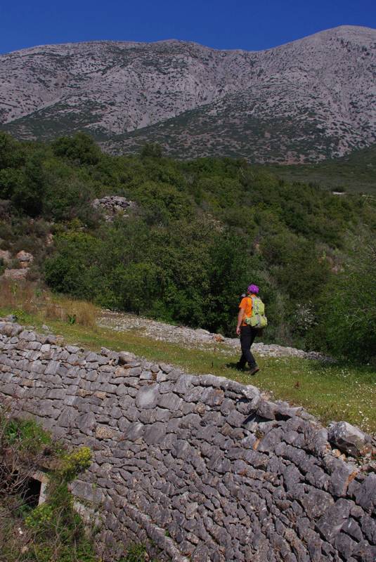
As the peninsula is very long, a division in sectors is needed, based on spatial features - infrastructure, catering, road network - to help the organization of travelling and hiking. Based on the above criteria, we distinguish five major sub-regions in Mani:
- the Avia area, extending from Verga to the hills above Kardamyli - its center is Kambos,
- the Kardamyli area, including the villages around Kardamyli, the area around Stoupa and the villages near Agios Nikolaso, to the south,
- the Areopoli area, extending from Oetylo to Mezapos,
- the Tenaro area, extending from Gerolimenas to the Tenaro lighthouse.
- the Gythion area, covering the eastern Mani territories.
Mani topoguide
The five sections have been integrated into a unique hiking/travelling application, topoguide Greece as 5 independent in-app purchases.
The 5 sectors are available for both Android and iOS (iPhone and iPad) devices.

