Discover Mani: Areopoli
Discover Mani: Areopoli
Text and photos: T. Adamakopoulos

The district of Arepooli stretches from Itilo to Mezapos. The northernmost villages turn towards the small and seasonal poles of Agios Nikolaos and Trachila, which are also under the influence of Kardamyli, while the area south of Mezapos are within the influence of Gerolimenas. Areopoli is historically, the capital city of Mesa (Inner) Mani and today has the richest technical and social infrastructure south of Kardamyli.
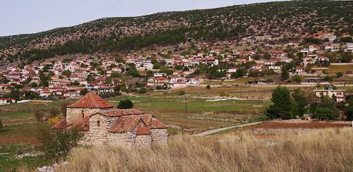
This zone, from Areopoli to Mezapos, has the characteristic topography of Mesa Mani: a relatively high mountain, Mt Sagias, sets a high bareer from the east; on its feet, between the steep slopes and the coast, extends an elongated, almost level, though extremely rocky, plateau. Almost all the villages of Areopoli are spread out on this plateau, with the exception of a few settlements that lie at the foot of the mountain for safety reasons, and even fewer that nest in the leeward bays of the inaccessible coastline.

The villages of the plateau are built on small outcrops or near other natural elements, indistinguishable today, such as a terra rossa basin, ideal for the construction of wells or on the natural axis of a ridge or creek leading to hidden olive grove. However, the place is extremely rocky and it is reasonable to think that in such a uniformely poor environment, the only concern for people to choose a place of inhabitation would be the defense. Indeed, most location of the settlements offer either natural defense or a very good oversight - often both.
")
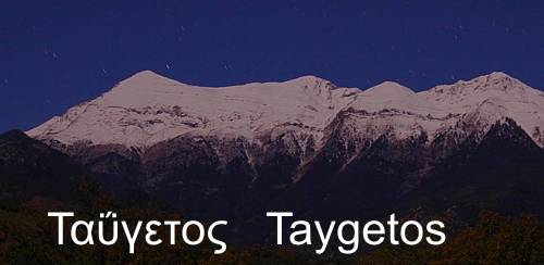
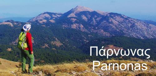
The natural environment of Areopoli district is a poor version of Kardamyli landscape, with the sloping faces of Mt Sagias replacing the Mt Taygetos gorges. The whole area is covered by phrygana, locally enriched with bushes and trees. On Mt Sagias, the semi-mountain meadows, overshadowed by just a few wild trees, bear the testimonies of a long-term grazing.

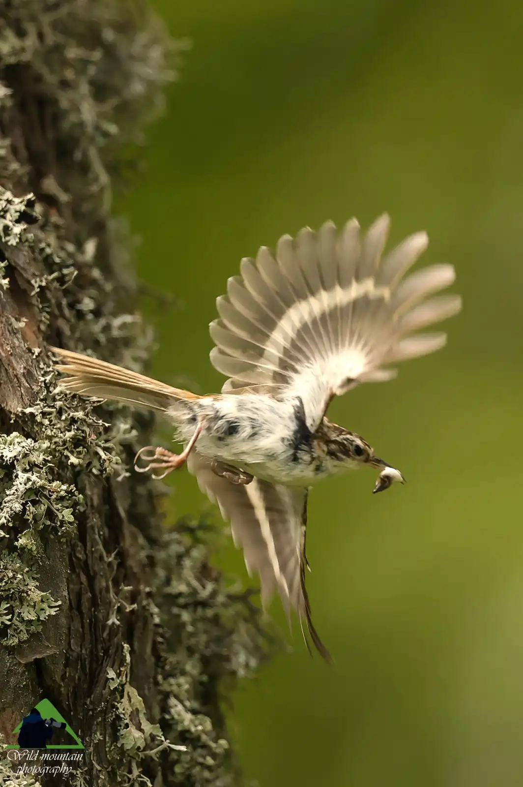
The particular biogeographical location of Mani combined to the endless patural peculiarities of this large area, offers many floristic surprises: as in all of West Mani, in Areopoli one can find many rare and endemic plants. The bird and reptiles are also of great interest, with several species of endemic lizards.
Another contradiction of greek nature, in this over-humanized environment, a steady population of jackals is surviving. Each dusk the jackals declare their presence with howls, disturbing the village dogs - people and jackals know each other for millennia and are indifferent to their respective presence.

There is no spring water in Mesa Mani. Apart from the few ponds hidden among the rocks, we will find innumerable arched or flat cisterns and many small wells, the latter usually near the settlements.

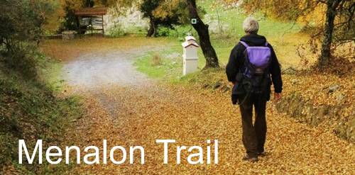
Much of the area's old paths have been preserved and have recently been organised in a network of hiking trails. Although many of these paths now have been closed by the vegetation, hiking is the best way to approach the unseen yet genuine aspects of Mesa Mani.
topoguide Greece
Self-guiding in Mani peninsula
A detailed description of Areopoli district, villages, nature and civilization is offered in Areopoli topoguide.
Areopoli topoguide is available for Android devices as one of dozens of regions of Greece offered by the application topoguide Greece. Get the Areopoli topoguide as an in-app purchase.
Areopoli topoguide is also available for iOS (iPhone και iPad) devices as one of the regions offered in the hiking application Topoguide Greece. Get the in-app purchase Areopoli topoguide and explore Mani peninsula.