Menalon Trail
Menalon Trail

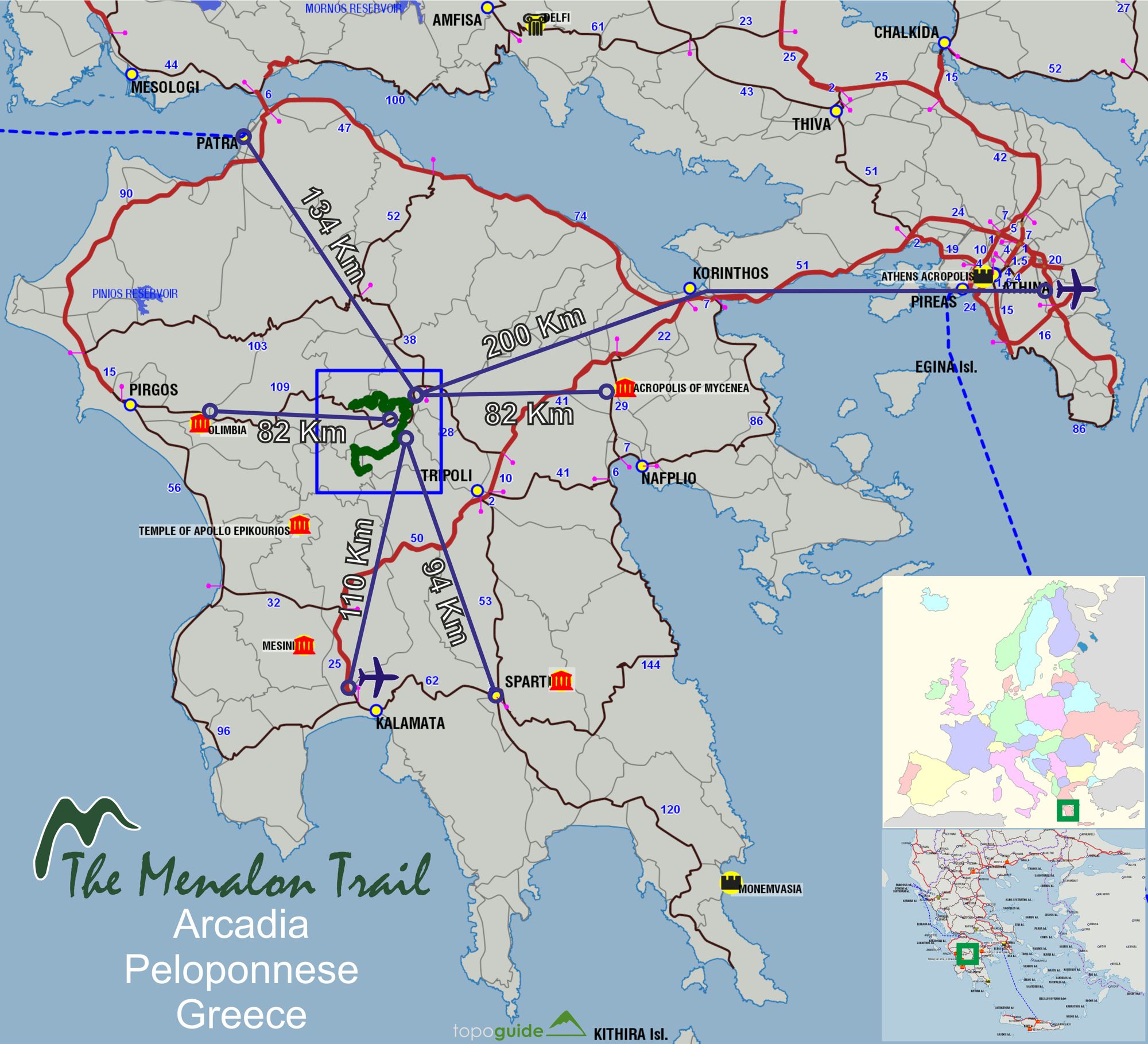
Menalon Trail: Location of Mt Menalon area
Πατήστε για μεγέθυνση
Πατήστε για μεγέθυνση
×
![Menalon Trail: Η θέση του Menalon Trail στην Ευρώπη και την Ελλάδα Menalon Trail: Location of Mt Menalon area]()
Menalon Trail: Location of Mt Menalon area
Menalon Trail stretches to a length of 75 km and crosses 9 settlements (Stemnitsa, Dimitsana, Zygovitsi, Elati, Vytina, Nymphasia, Magouliana, Valtesiniko, Lagkadia), as well as all major historical and cultural features of the area and it is connected to a infinite network of adjacent footpaths.
Menalon Trail has eight daily sections:
- Stemnitsa-Dimitsana
- Dimitsana-Zygovisti
- Zygovisti-Elati
- Elati-Vytina
- Vytina-Nymfasia
- Nymfasia-Magouliana
- Magouliana-Valtesiniko
- Valtesiniko-Lagadia

Menalon Trail topoguide
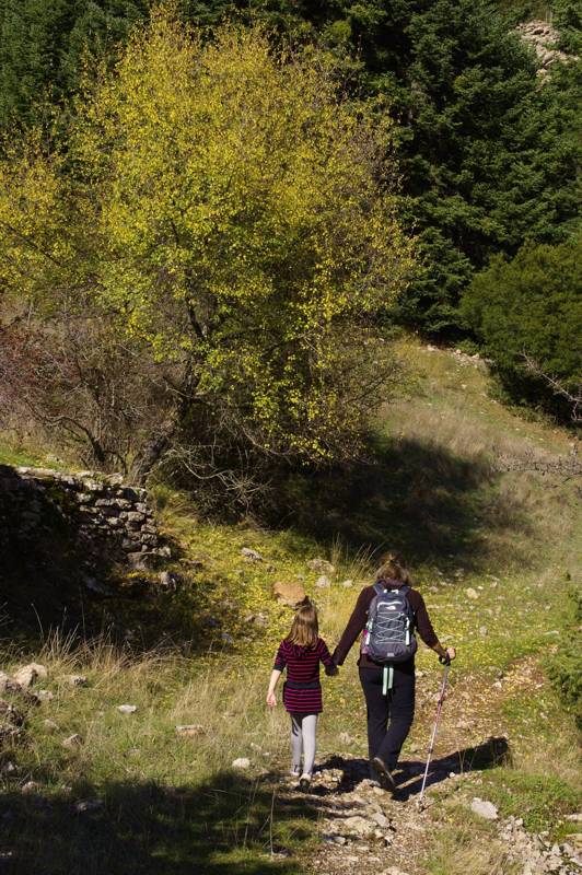
On the 6th section, from Magouliana to Nymfasia
On the 6th section, from Magouliana to Nymfasia
Menalon Trail is the first path network in Greece certified by the European Ramblers Association (ERA) to comply to a criteria system of 41 quantative, technical and qualitative parameters. Through its european-level certification, Menalon Trail is proposed to walkers from all over Europe as a reliable, attractive and safe mountain adventure.

Menalon Trail topoguide
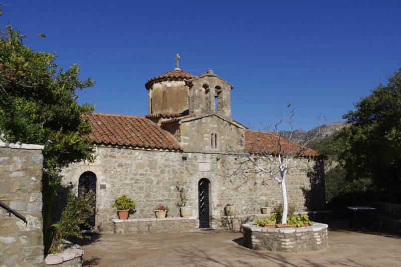
The katholikon of the New Philosophou monastery
The katholikon of the New Philosophou monastery
Text and photos: T. Adamakopoulos

topoguide Greece
Menalon Trail topoguide

Menalon Trail topoguide is the best companion guide to hike along Menalon Trail.
The digital field guide Menalon Trail topoguide is available for Android devices as an in-app purchase within the application topoguide Greece. Menalon Trail is a member of the Long Trails group.
The digital field guide Menalon Trail topoguide is also available for iOS (iPhone and iPad) devices as an in-app purchase within the application Topoguide Greece. There also, Menalon Trail is a member of the Long Trails group.
Menalon Trail topoguide offers active guidance along the trail, as well as an extented guidebook on the geography, the nature and the history of the area.

