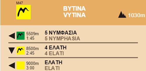
Elati-Vytina
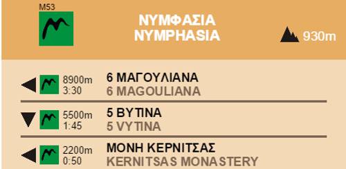
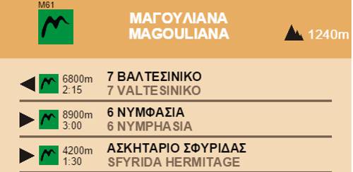
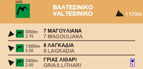
Menalon Trail
Elati-Vytina

Menalon Trail
On the Mylaon valley trail
On the Mylaon valley trail
Thiw is one of the most popular sections of Menalon Trail.
The route descends from Elati to the riverbed of the Milaon River, where it meets the obvious pathway situated on the banks.

Menalon Trail
The first watermill, on the Mylaon valley trail
The first watermill, on the Mylaon valley trail

Menalon Trail
Remains of the walls of ancient Methydrion
Remains of the walls of ancient Methydrion

Menalon Trail
On the Mylaon valley trail
On the Mylaon valley trail

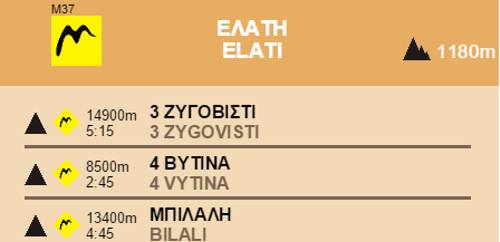
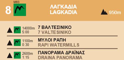
Section 4 Elati-Vytina
Elevation profile
Elevation profile
Text and photos by T. Adamakopoulos

topoguide Greece
Menalon Trail topoguide

All useful information about the section Elati-Vytina - interactive map, photos, metrics and description - is included in the digital field guide Menalon Trail topoguide.
The digital field guide Menalon Trail topoguide is available for Android devices as an in-app purchase within the application topoguide Greece. Menalon Trail is a member of the Long Trails group.
The digital field guide Menalon Trail topoguide is also available for iOS (iPhone and iPad) devices as an in-app purchase within the application Topoguide Greece. There also, Menalon Trail is a member of the Long Trails group.
Menalon Trail topoguide offers active guidance along the trail, as well as an extented guidebook on the geography, the nature and the history of the area.