

Kamari-Perissa
Kamari-Perissa


The route starts impressively, at the base of the large cliffs of Kamari. The very good cobbled path winds between boulders and walls and reaches Zoodochos Pigi, near the spring that watered the ancient city of Thera. In the cave you can spot the stone basins and the two ponds.
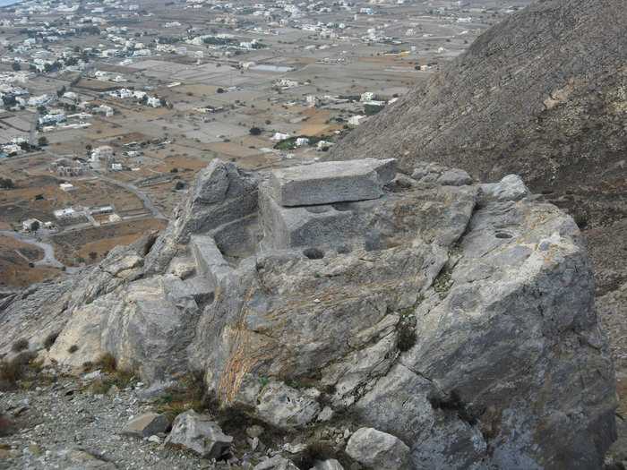
The path goes up a last steep and somewhat exposed section and meets the road. Reach directly to Seladi, where is the entrance to the archaeological site of ancient Thera.
The descent is smooth and very pleasant. Passing by a ledge with a pine grove, the trail turns to the west side of the mountain. In the first turn, there is a path leading to the ledge of Panagia Katefiani.
With few turns, reach the higher part of Perissa settlement and continue untill the beach, where there are many shops and a bus stop.
Identity
Kamari-PerissaHiking route
Waymarking: Trail 3
Difficulty: 2/5
Return to start: One way
Aesthetic value: Exquisite
Metrics
Length: 3262 mTime: 1h
Min elevation: 0 m
Max elevation: 274 m
Total ascent: 262 m
Total descent: 277 m
Trail analysis
Paved road: 33%Path: 67%

topoguide Greece
Hiking in Santorini
The digital field guide Santorini topoguide is available for Android devices as an in-app purchase within the application topoguide Greece. Santorini is a member of the Greek Islands group.
Santorini topoguide is also available as an in-app-purchase for iOS & iPad devices via the global hiking app Topoguide Greece app. There again, Santorini topoguide is a member of the Greek Islands group.
topoguide Greece offers active guidance along the trail, as well as an extended guidebook on the geography, the nature and the history of the area.
