Pyrgos-Vothonas
Pyrgos-Vothonas


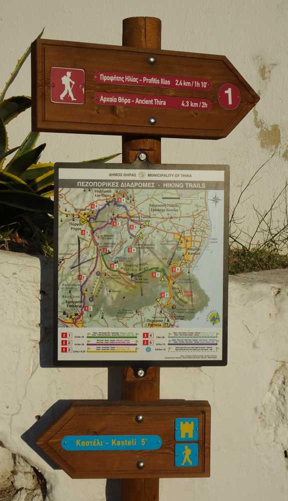
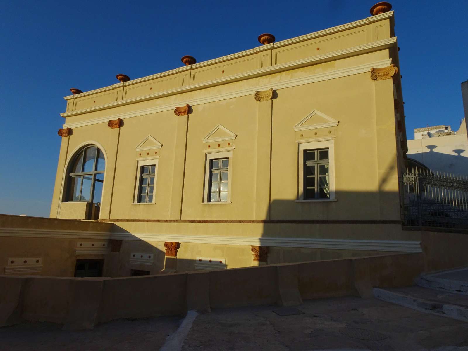
From the central square of Pyrgos go uphill to the castle. Near the Zannos mansion, turn left and begin to descend to the northern edge of the settlement, until the perimeter road.
Use a small cemented road to join the Pyrgos-Exo Gonia road. A few meters to the right, there is the beginning of a path, that follows the axis of a narrow ravine, passes between small vineyards and ends at the southern edge of Vothonas.
Cross Vothonas throgh the main cobbled road and reach Messaria center.
Identity
Pyrgos-VothonasHiking route
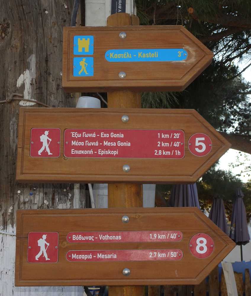
Waymarking: Trail 8
Difficulty: 2/5
Return to start: By bus
Aesthetic value: Interesting
Metrics
Length: 2020 mTime: 0h45
Min elevation: 143 m
Max elevation: 350 m
Total ascent: 37 m
Total descent: 210 m
Trail analysis
Paved road: 33%Path: 67%

topoguide Greece
Hiking in Santorini
Detailed descriptions, metrics, photos and maps of the trail Pyrgos-Vothonas are included in the digital field guide Santorini topoguide.
The digital field guide Santorini topoguide is available for Android devices as an in-app purchase within the application topoguide Greece. Santorini is a member of the Greek Islands group.
Santorini topoguide is also available as an in-app-purchase for iOS & iPad devices via the global hiking app Topoguide Greece app. There again, Santorini topoguide is a member of the Greek Islands group.
topoguide Greece offers active guidance along the trail, as well as an extended guidebook on the geography, the nature and the history of the area.


