

From Fira to Oia
From Fira to Oia
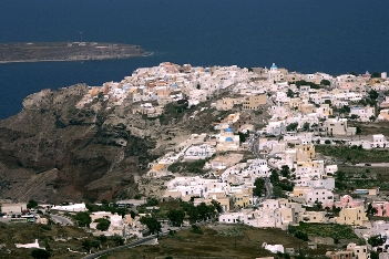
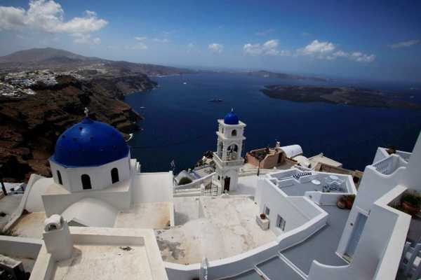


From the Theotokopoulos square in Fira, follow the signs for the cable car, pass it and continue towards the Petros Nomikos Conference Center. Follow the pathway in front of the Caltera and reach Agios Gerasimos chapel, between Fira and Firostefani. The inner road of Firostefani pass near the Aghios Nicholaos monastery and then reaches Imerovigli.
Leaving Imerovigli, move into the alley in front of hotels and until the junction to Aghios Antonios.
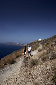
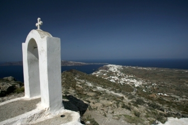
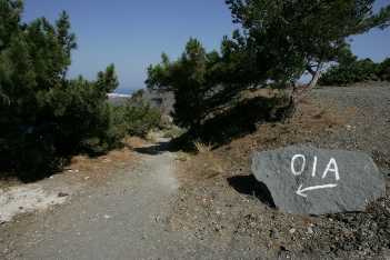
Step up into an alley, leave Aghios Markos chapel to the ledt and reach the Mikros Profitis Ilias private church (highest point of the route, elev. 317 m.). From here begins the most interesting part of the trail. A very good downhill path, opened within the reddish volcanic slag, lead to the asphalt road. Re-enter the path a few hundred meters further away and climb steadily but smoothly on the slopes of Mavro Vouno, to reach the church of Stavros. From the Stavros Pass, pass Profitis Ilias of Oia and the desalination plant and enter the Oia village.
In the afternoon, on the way back, one will rediscover the same landscapes under a different light, with a different sight. Alternatively, take a taxi or the bus.
Identity
Fira-OiaHiking route
Waymarking: Trail 9
Difficulty: 2/5
Return to start: One way
Aesthetic value: Exquisite
Metrics
Length: 10166 mTime: 4h
Min elevation: 130 m
Max elevation: 336 m
Total ascent: 374 m
Total descent: 458 m
Trail analysis
Paved road: 17%Dirt road: 12%
Path: 71%

topoguide Greece
Hiking in Santorini
The digital field guide Santorini topoguide is available for Android devices as an in-app purchase within the application topoguide Greece. Santorini is a member of the Greek Islands group.
Santorini topoguide is also available as an in-app-purchase for iOS & iPad devices via the global hiking app Topoguide Greece app. There again, Santorini topoguide is a member of the Greek Islands group.
topoguide Greece offers active guidance along the trail, as well as an extented guidebook on the geography, the nature and the history of the area.
