Finikia-Kouloumbos
Finikia-Kouloumbos
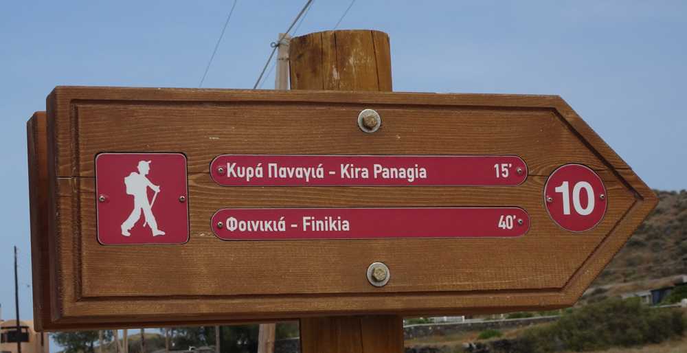
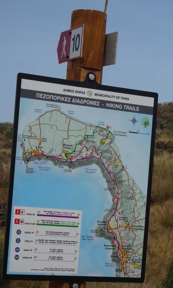
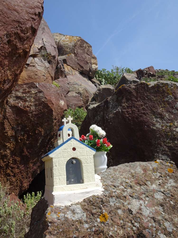
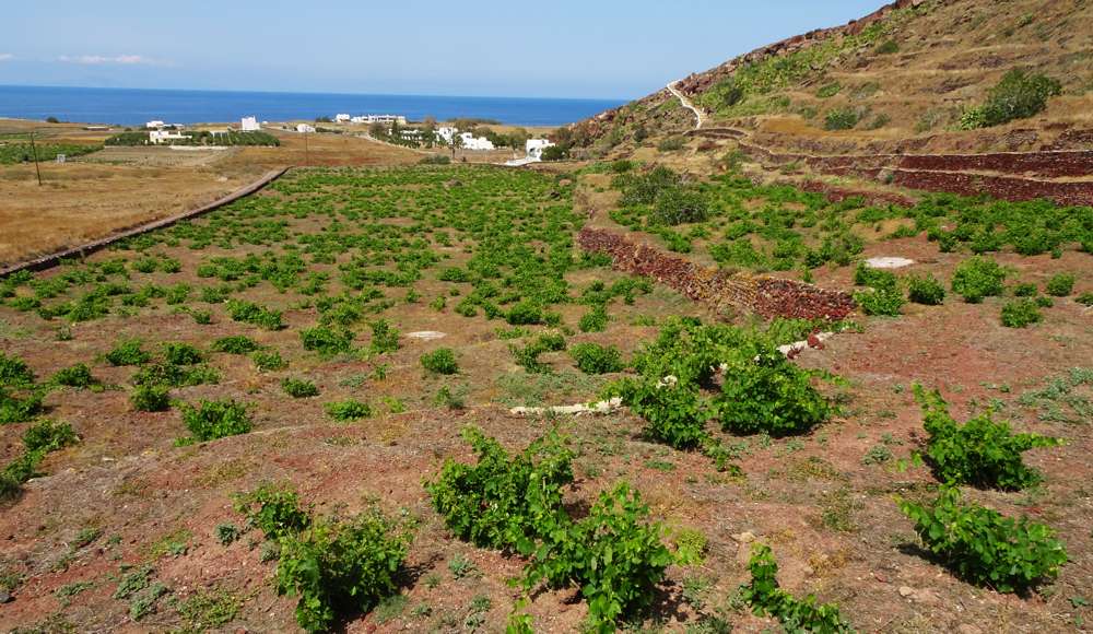

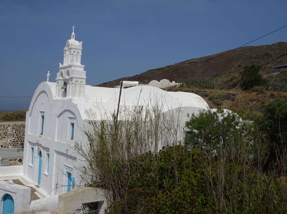
Starting from Oia, initially follow Route 9 (Fira-Oia). Near the chapel of Prophitis Ilias, descend a few dozen meters to the left, along a cobbled path, and reach the Oia-Fira road. Cross the road and enter the main cobbled path of Finikia, wich descends gently to the lower part of the settlement.
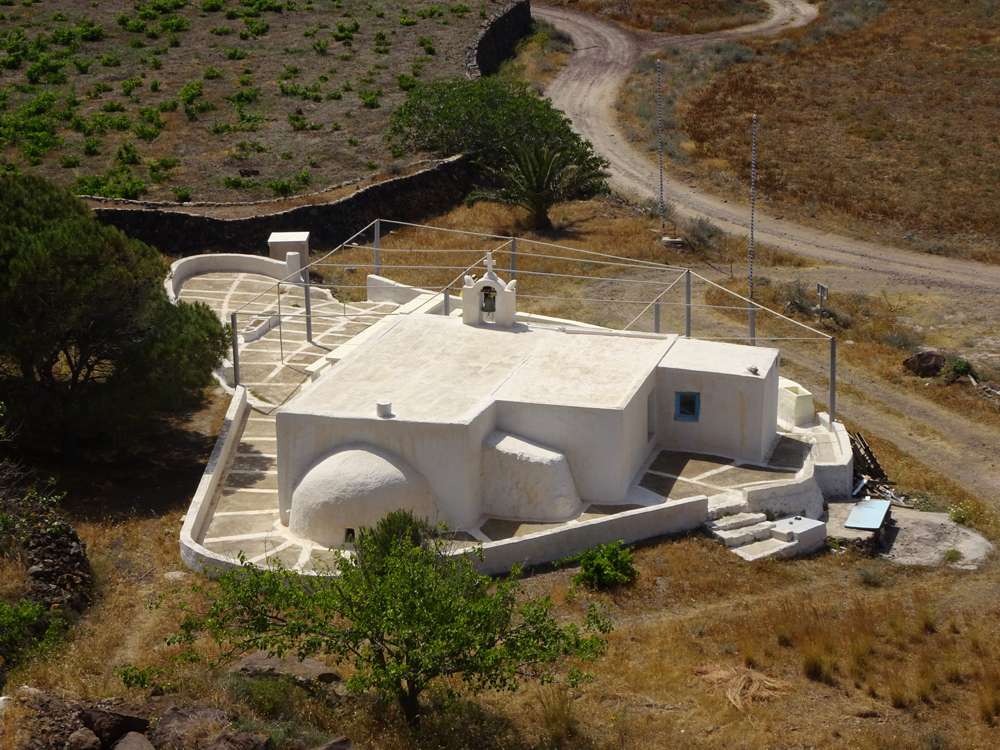
Exiting Finikia, pass behind a large estate (using a small alley), reach a dirt road and immediately let him to pass back a field with a clear (but no longer used) path. So we arrive in front of Aghios Konstandinos and under Kyra Panagia chapels.
From here, take a small dirt road that passes close to the chapel of Aghia Marina and then get the narrow dirt road that leads to the asphalt. A few tens of meters to the right, enter a service area and go down to the beach. Walk on the beach to the right (east) and arrive at Cape Coloumbos with its dark rocks.
Get a small path to reach the road.
Identity
Finikia-KouloumbosHiking route
Waymarking: Trail 10
Difficulty: 2/5
Return to start: By bus
Aesthetic value: Exquisite
Metrics
Length: 4490 mTime: 1h50
Min elevation: 1 m
Max elevation: 209 m
Total ascent: 61 m
Total descent: 234 m
Trail analysis
Dirt road: 8%Path: 92%

topoguide Greece
Hiking in Santorini
The digital field guide Santorini topoguide is available for Android devices as an in-app purchase within the application topoguide Greece. Santorini is a member of the Greek Islands group.
Santorini topoguide is also available as an in-app-purchase for iOS & iPad devices via the global hiking app Topoguide Greece app. There again, Santorini topoguide is a member of the Greek Islands group.
topoguide Greece offers active guidance along the trail, as well as an extended guidebook on the geography, the nature and the history of the area.
