Faros-Akrotiri
Faros-Akrotiri
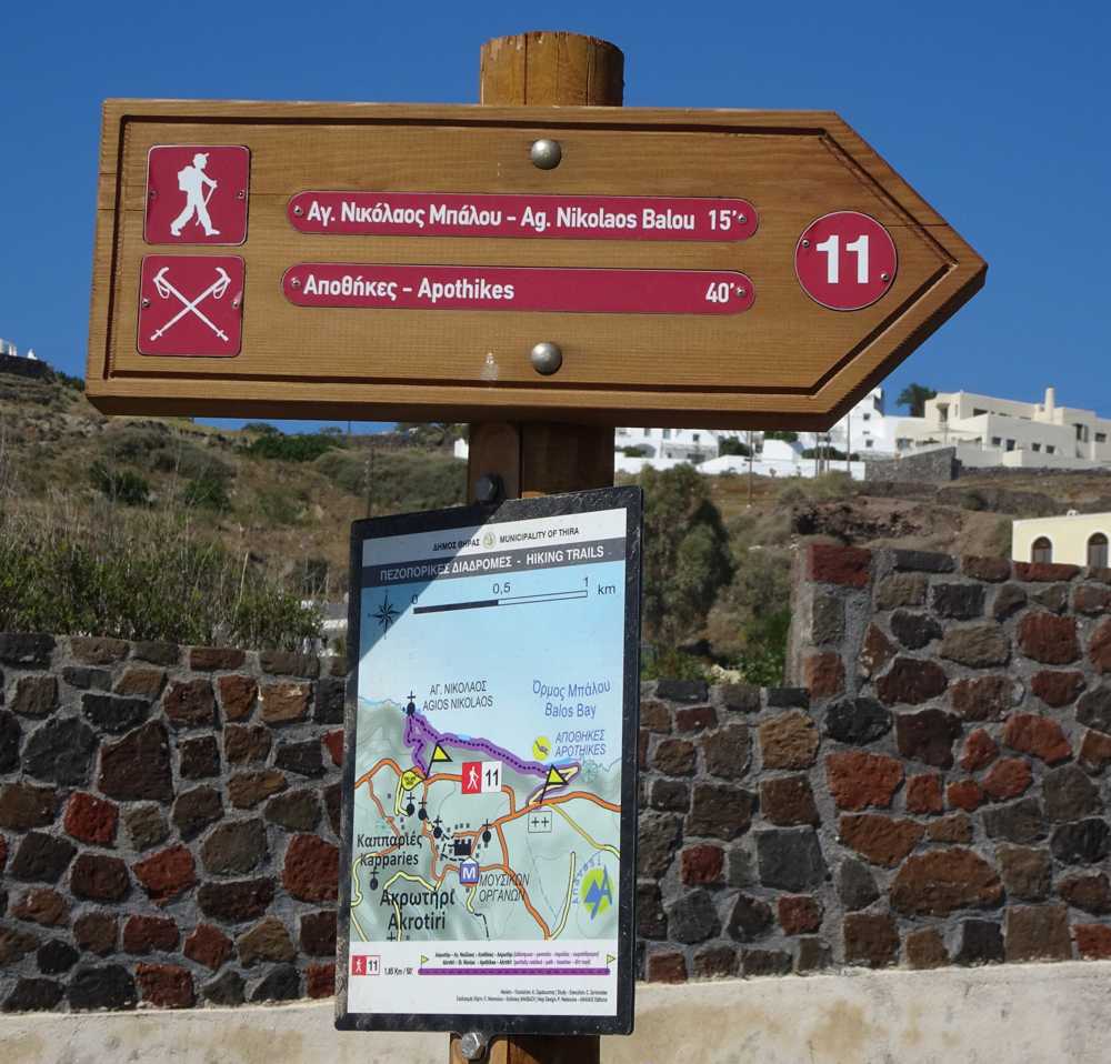
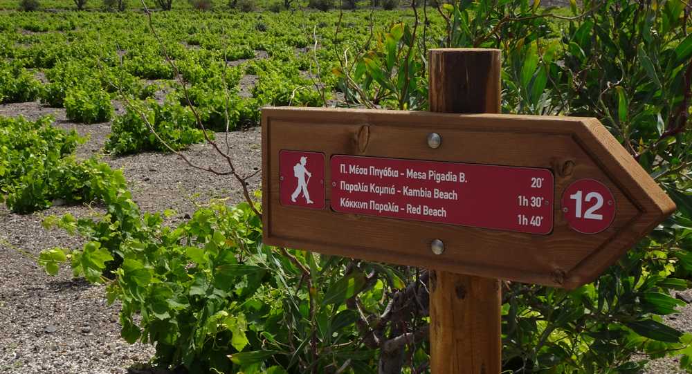
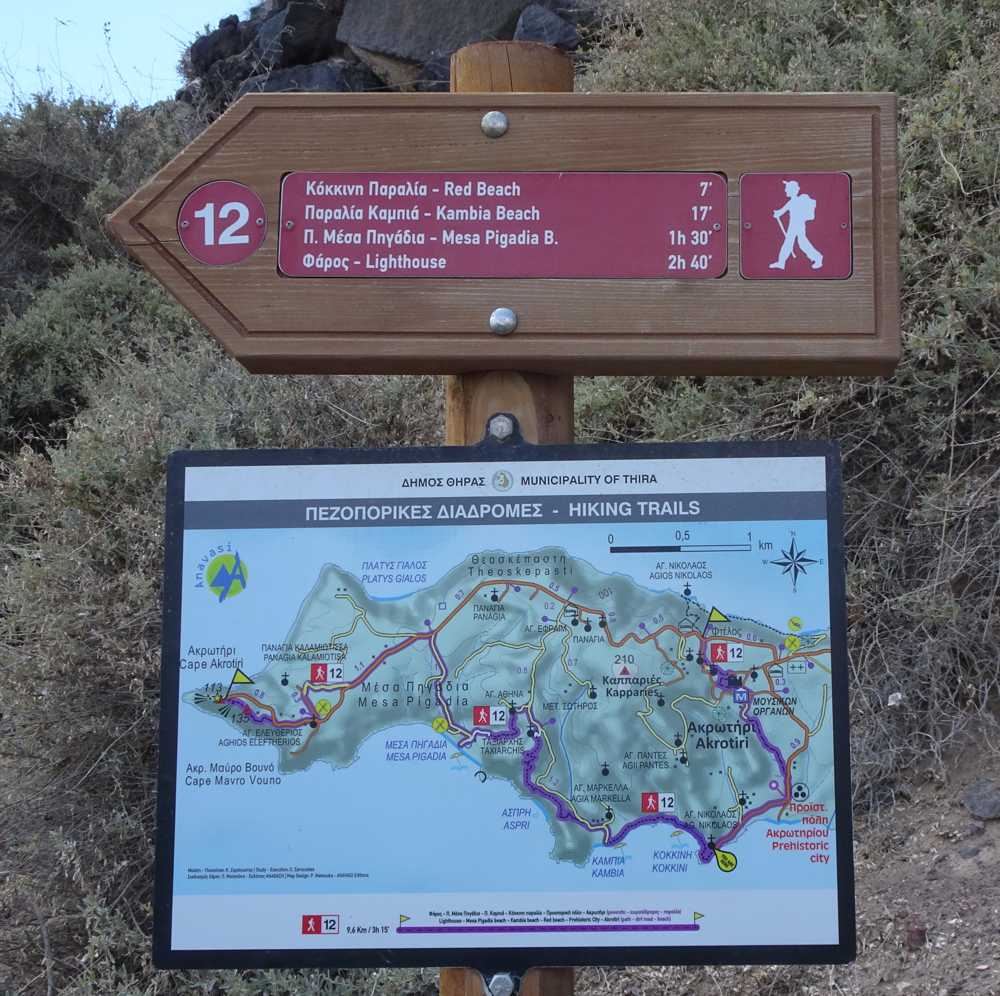
From Faros (the Lighthouse), follow a short path and then the tarmac road to Agios Eleftherios. Continue 1100 m on asphalt road and take a dirt road (1000 m) for the Mesa Pigadia beach.
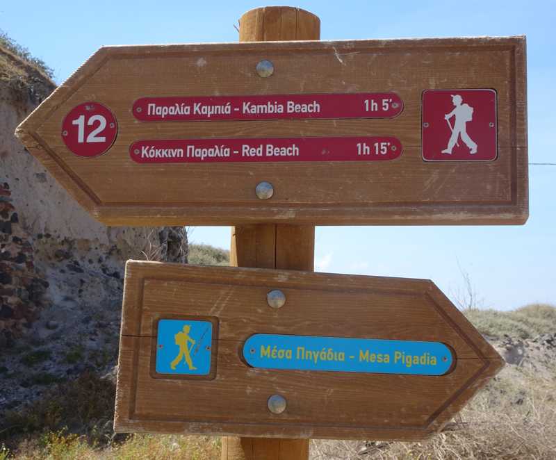
From Mesa Pigadia, take a small dirt road to a property entrance. A faint trail, that meanders along a terassed slope, leads up to the dirt road to Kambia. Before the chapel of the Archangel, let the dirt road for the old path that descends to the Kambia. The path passes above a shepherd's installation and ends near the beach.
From here begins the only interesting section of the trail, crossing the shoreline below the volcanic cliffs. After crossing the east part of the Kambia beach, catch a clear path that straddle a cliff and reach the westernmost end of the Red Beach.
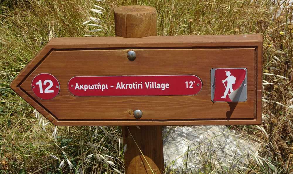
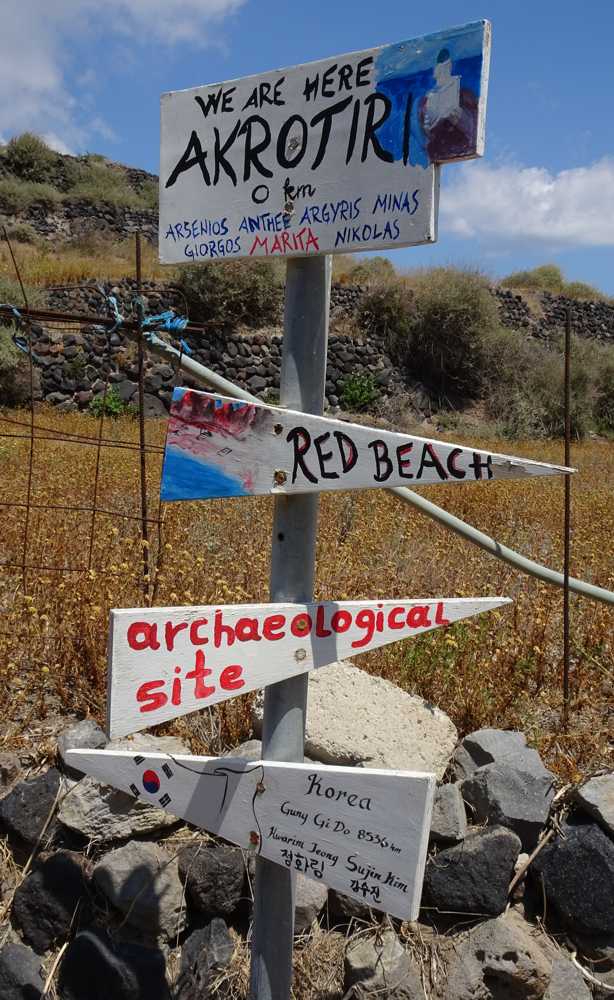
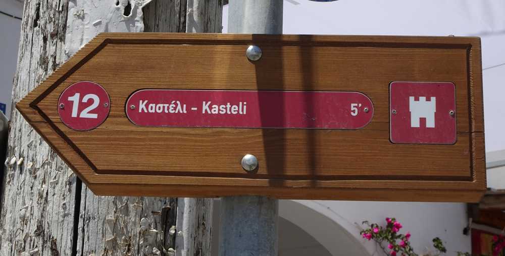
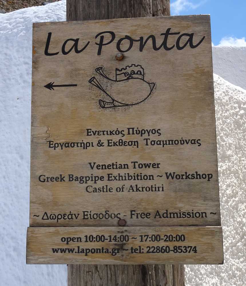
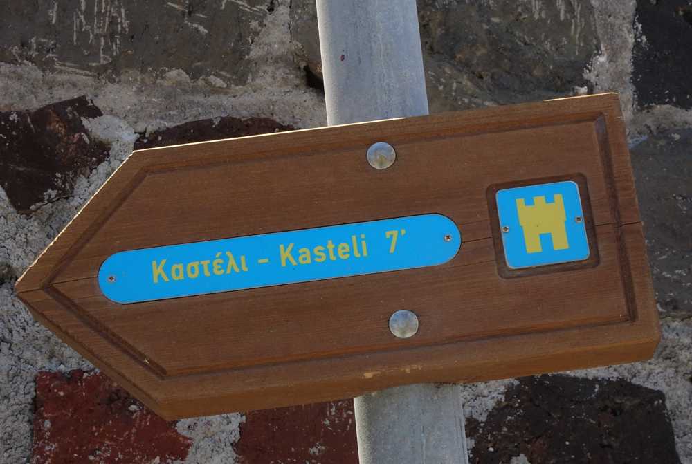
Cross the Red Beach and then the path to Agios Nikolaos. Walk another asphalt and reach the parking area of ??the archaeological site of the prehistoric city. Immediately after the parking, enter the ravine on your left, which climbs gently to the foot of the Akrotiri settlement. Cross the fortified village, pass by the Castle and end up on the main road, where there is a bus stop.
Identity
Faros-AkrotiriHiking route
Waymarking: -
Difficulty: 1/5
Return to start: One way
Aesthetic value: Interesting
Metrics
Length: 8111 mTime: 4h
Min elevation: 0 m
Max elevation: 136 m
Total ascent: 333 m
Total descent: 308 m
Trail analysis
Paved road: 30%Dirt road: 21%
Path: 49%

topoguide Greece
Hiking in Santorini
The digital field guide Santorini topoguide is available for Android devices as an in-app purchase within the application topoguide Greece. Santorini is a member of the Greek Islands group.
Santorini topoguide is also available as an in-app-purchase for iOS & iPad devices via the global hiking app Topoguide Greece app. There again, Santorini topoguide is a member of the Greek Islands group.
topoguide Greece offers active guidance along the trail, as well as an extended guidebook on the geography, the nature and the history of the area.
