

Pyrgos-ancient Thera
From Pyrgos to ancient Thera


In the beginning, the trail follows the cobbled streets of Pyrgos. After a short section on tarmac road, the trail enters a narrow cement road that quickly becomes a very good cobbled path, passes beside the deserted monastery of the Apostles. After two intersections with asphalt, reach the entrance of the Prophitis Ilias monastery.
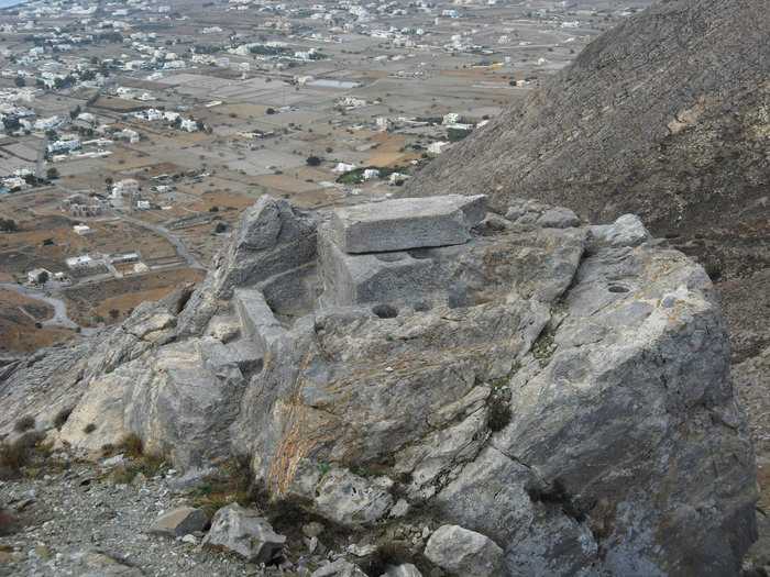
Just beside the monastery gate starts a clean and well trotten path, yet a bit rough, that leads to Selada (the col) of Mesa Vouno, on the top of which shone the ancient city of Thera.
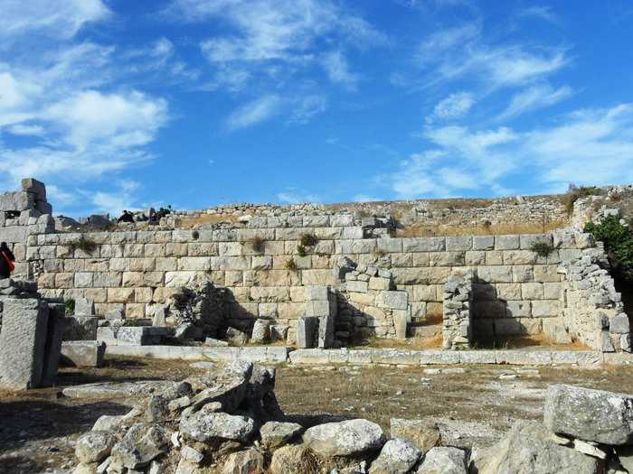
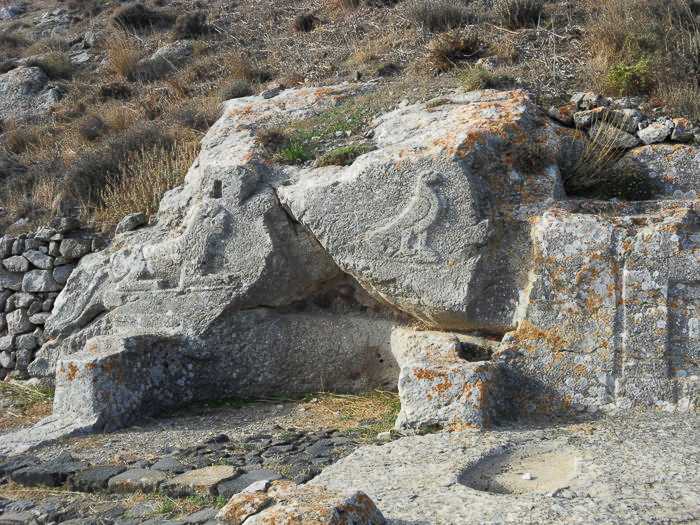
If the archaeological site is open, pass the gate and make a loop walk around the main relicts of the ancient city till the chapel of Agios Stefanos and the remains of the temple of Apollo Karneios.
Identity
Pyrgos-ancient TheraWaymarking: Trail 1
Difficulty: 2/5
Return to start: One way
Aesthetic value: Exquisite
Metrics
Length: 5108 mTime: 1h
Min elevation: 257 m
Max elevation: 598 m
Total ascent: 385 m
Total descent: 372 m
Trail analysis
Paved road: 18%Path: 82%

topoguide Greece
Hiking in Santorini
The digital field guide Santorini topoguide is available for Android devices as an in-app purchase within the application topoguide Greece. Santorini is a member of the Greek Islands group.
Santorini topoguide is also available as an in-app-purchase for iOS & iPad devices via the global hiking app Topoguide Greece app. There again, Santorini topoguide is a member of the Greek Islands group.
topoguide Greece offers active guidance along the trail, as well as an extended guidebook on the geography, the nature and the history of the area.
