Megalochori-Loutra
Megalochori-Loutra


The route begins from the bus stop and after a short concrete road, runs along the crest of the steep slopes above Loutra, passing by two old windmills. At the edge of the plateau, begins the path, winding along the steep slope, passes near a cave chapel and ends at Panagia on Plaka.
The domed baths buildings are still sporadically used.
Identity
Megalochori-LoutraHiking route
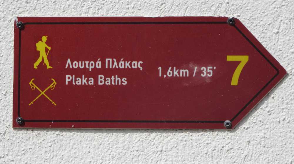
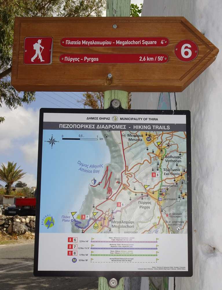
Waymarking: Trail 7
Difficulty: 2/5
Return to start: One way
Aesthetic value: Exquisite
Metrics
Length: 1431 mTime: 0h30
Min elevation: 0 m
Max elevation: 222 m
Total ascent: 0 m
Total descent: 210 m
Trail analysis
Paved road: 13%Dirt road: 1%
Path: 86%

topoguide Greece
Hiking in Santorini
Detailed descriptions, metrics, photos and maps of the trail Megalochori-Loutra are included in the digital field guide Santorini topoguide.
The digital field guide Santorini topoguide is available for Android devices as an in-app purchase within the application topoguide Greece. Santorini is a member of the Greek Islands group.
Santorini topoguide is also available as an in-app-purchase for iOS & iPad devices via the global hiking app Topoguide Greece app. There again, Santorini topoguide is a member of the Greek Islands group.
topoguide Greece offers active guidance along the trail, as well as an extended guidebook on the geography, the nature and the history of the area.


