Akrotiri-Vlychada
Akrotiri-Vlychada
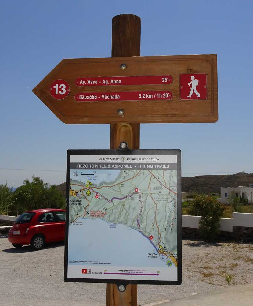
Santorini topoguide: Signpost along the trail
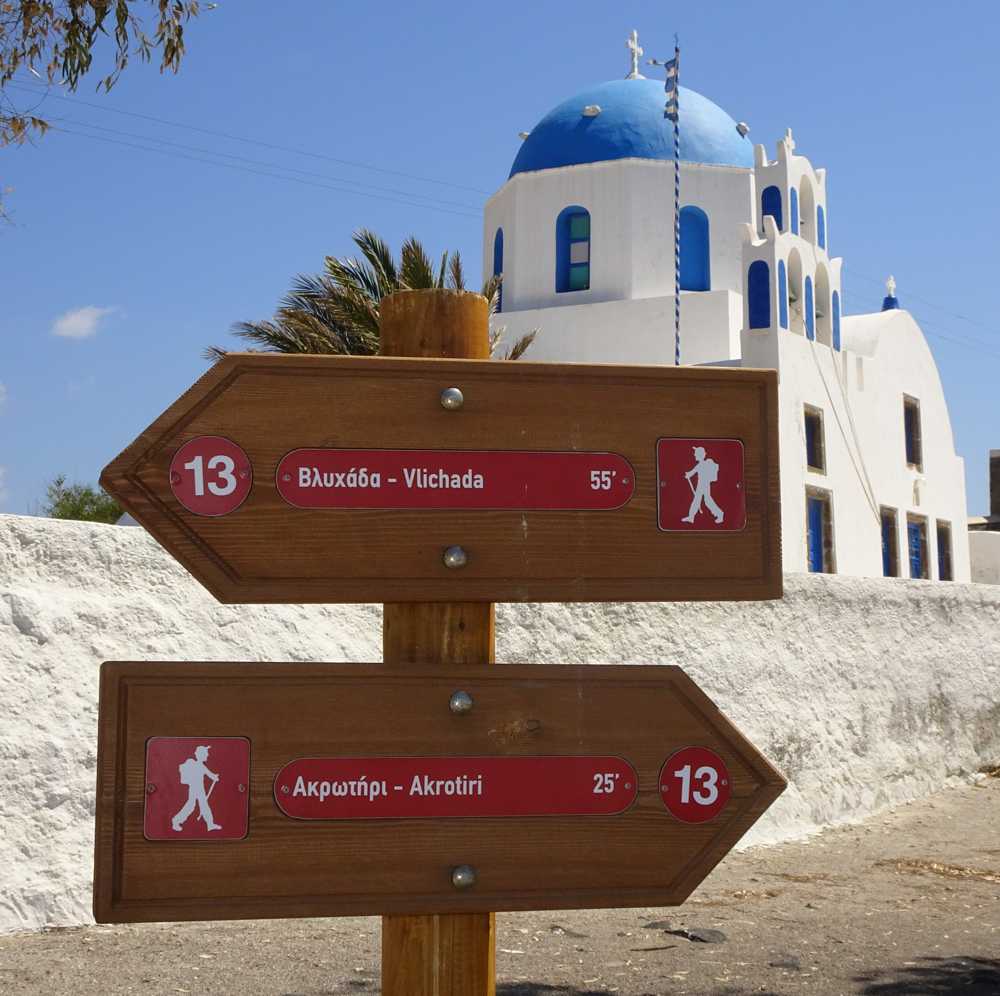
Santorini topoguide: Signpost along the trail
The trail begins from the eastern edge of the inhabited area of Akrotiri and follows the dirt road for 950 m, untill a dry ravine. Follow this ravine till the chapel of Agia Anna. A small path saves you a bit of road. At the next junction go to the right and descend 1050 m along a dirt road, until a faint path. The path reaches the dirt road in the valley, which ends at the coast.
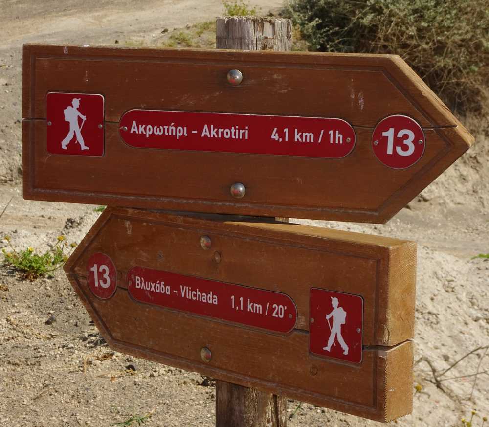
Santorini topoguide: Signpost along the trail
From here, would we run the Vlychada beach, beneath the impressive eroded slopes of the volcanic front, to the fishing port of Vlychada.
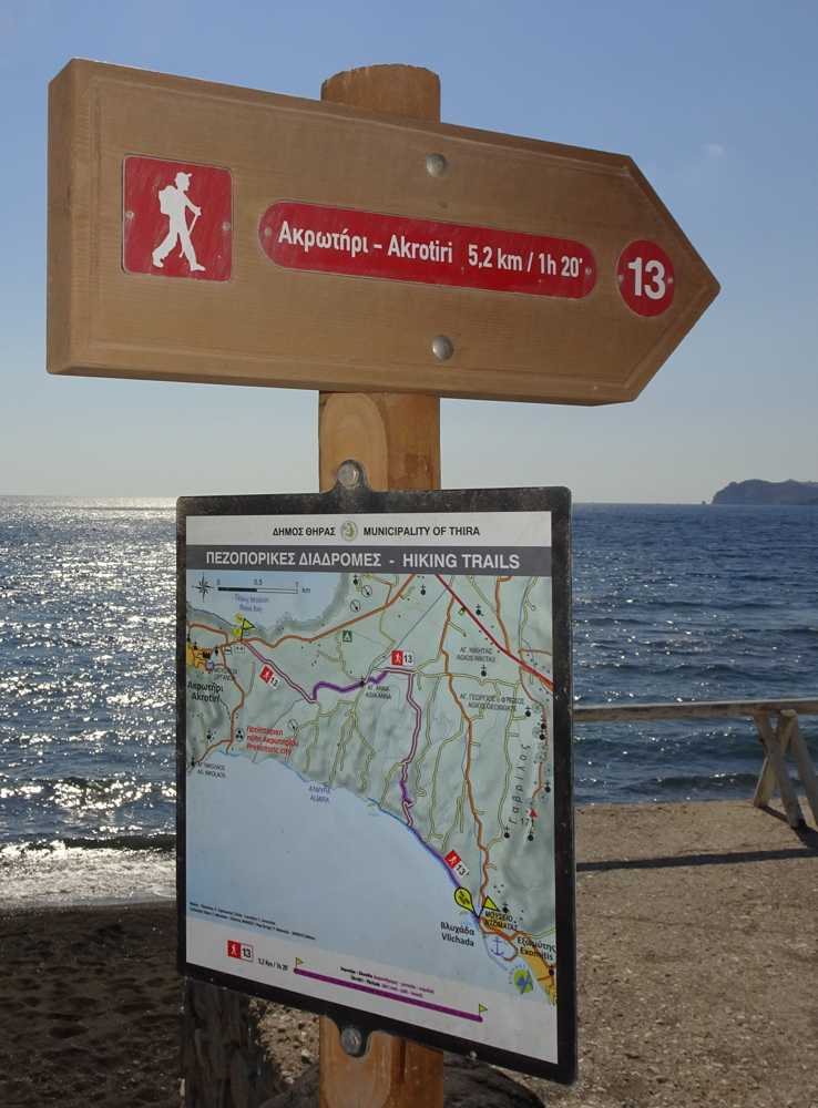
Santorini topoguide: Signpost along the trail
Identity
Akrotiri-VlychadaHiking route
Waymarking: Trail 13
Difficulty: 1/5
Return to start: One way
Aesthetic value: Very interesting
Metrics
Length: 5132 mTime: 2h
Min elevation: 0 m
Max elevation: 102 m
Total ascent: 57 m
Total descent: 117 m
Trail analysis
Paved road: 2%Dirt road: 56%
Path: 42%

topoguide Greece
Hiking in Santorini
Detailed descriptions, metrics, photos and maps of the trail Akrotiri-Vlychada are included in the digital field guide Santorini topoguide.
The digital field guide Santorini topoguide is available for Android devices as an in-app purchase within the application topoguide Greece. Santorini is a member of the Greek Islands group.
Santorini topoguide is also available as an in-app-purchase for iOS & iPad devices via the global hiking app Topoguide Greece app. There again, Santorini topoguide is a member of the Greek Islands group.
topoguide Greece offers active guidance along the trail, as well as an extended guidebook on the geography, the nature and the history of the area.
