Gerakas-Tourkou Mnima
Alonnisos / To the coast
Gerakas-Tourkou Mnima
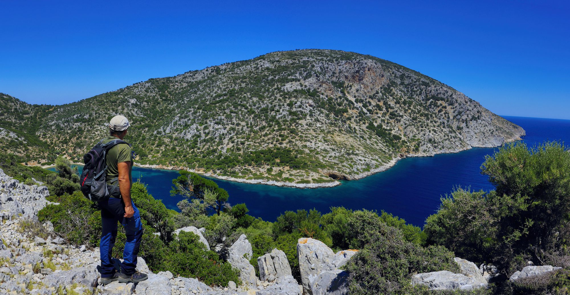
High on the slopes of Vigla peak, reconsider Gerakas bay
Click to enlarge
High on the slopes of Vigla peak, reconsider Gerakas bay
Among the innumerable splinted paths that the goats have opened around Gerakas, the most well-trodden, somewhat cleaned and well-marked is the old path to a felled cape on the entrance of Gerakas bay. The cape is a branch of Vigla peak (317 m) and has the macabre name Tourkou Mnima ("the tomb of the Turk").
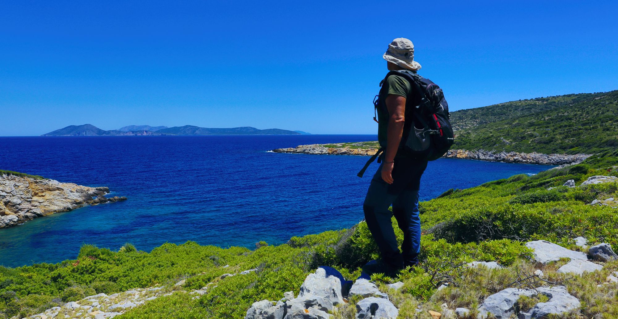
At the end of the trail, facing the open Tourkou Mnima bay
Click to enlarge
At the end of the trail, facing the open Tourkou Mnima bay
The hike starts from the end of the asphalt that serves Gerakas, essentially opposite the old Center of the Marine Park.
Fairly uphill at first and splitting into smaller paths afterwards, the trail is trodden by animals and hopefully well marked. The trail meanders through dense scrub - fortunately with few passability issues - and eventually climbs up towards the small meadow at Tourkou Mnima, passing by the open circular cistern.
From the meadow, the red signs mark the way to the southern shore, which is however extremely rocky and inhospitable.
Text and photos by T. Adamakopoulos
Signage
Marking and signposting
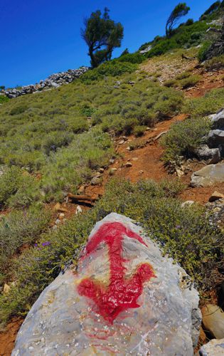
There are no direction signposts, however.
Nature
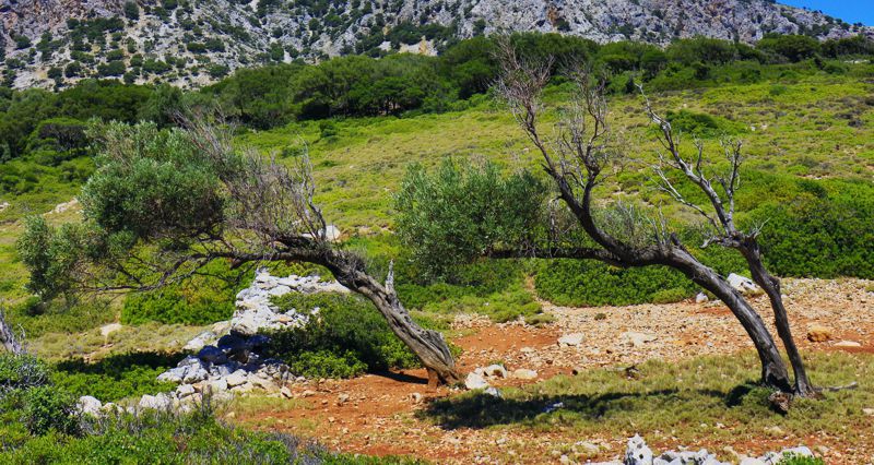
The vegetation of the coast
Culture
Rain water collection in the pasturelands
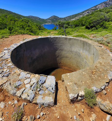
In the pasture in Tourkou Mnima, an open rain water tank collects the surface runoff of a small basin. The cistern is constructed relatively recently. The sides of the cistern are supported by stonework and inside it has been meticulously plastered with cement mortar. The cistern is quite efficient and retains water even in the summer. However, no facility for water pumping has been installed.

topoguide Greece
ALONNISOS TOPOGUIDE
The digital field guide Alonnisos topoguide is available for Android devices as an in-app purchase within the application topoguide Greece. Alonnisos topoguide is a member of the Greek Islands group.
The digital field guide Alonnisos topoguide is also available for iOS (iPhone and iPad) devices as an in-app purchase within the application Topoguide Greece. There also, Alonnisos topoguide is a member of the Greek Islands group.

