Diaselo-Kastanorema-Agios Dimitrios
On the Alonnissos hills
Diaselo-Kastanorema-Agios Dimitrios

Alonnissos
Following Kastanorema riverbed
Click to enlarge
Following Kastanorema riverbed
Click to enlarge
×

Alonnissos
Following Kastanorema riverbed
Following Kastanorema riverbed
Kastanorema is the most prominent and largest ravine of Alonissos Island: a simplified sketch of its course exceeds 7 km. Mid-course, Kastanorema forms a deep and narrow ravine that resembles a small gorge. However, if the gorge walls are steep, the riverbed is quite passable with just a few steps.
This bed is followed by the Diaselo-Kastanorema-Agios Dimitrios trail. The hike starts from Diaselo and, passing along the side of the dam, crosses the reavine and ends at Strovili beach, from where it proceeds along the coast to Agios Dimitrios.
Text and photos by T. Adamakopoulos
Signage
Marking and signposting

The Diaselo-Kastanorema-Agios Dimitrios trail is fairly well marked.
At the starting point, on the Patitiri-Gerakas asphalt road, there is an old but useful board with a map and some info. An additional direction signpost indicates the direction of the hike. There area a few more signs along the trail.
The path is marked with red marks.
At the starting point, on the Patitiri-Gerakas asphalt road, there is an old but useful board with a map and some info. An additional direction signpost indicates the direction of the hike. There area a few more signs along the trail.
The path is marked with red marks.
Water resources of Alonnisos
Kastanorema

Kastanorema is the most prominent and largest ravine of Alonissos Island: a simplified sketch of its course exceeds 7 km in length. Kastanorema has no permanent flow, but the runoff of the mid-course area provides running water for several days after heavy rains. No other stream in Alonissos has a similar supply.
The hydrological behavior of the ravine and the geological conditions of the mid-course basin advocated the construction of a small water reservoir. The flooded basin has a perimeter of 1.7 km and a maximum area of 9 hectares. The water was channeled into the island's network through the adjacent pumping station. Today, the entire reservoir-pump station-connecting network group is not operational.
The hydrological behavior of the ravine and the geological conditions of the mid-course basin advocated the construction of a small water reservoir. The flooded basin has a perimeter of 1.7 km and a maximum area of 9 hectares. The water was channeled into the island's network through the adjacent pumping station. Today, the entire reservoir-pump station-connecting network group is not operational.
Small island wetlands
Kastanorema water reservoir

The Kastanorema water reservoir consists of a watertight flood basin with a maximum surface area of 9 hectares.
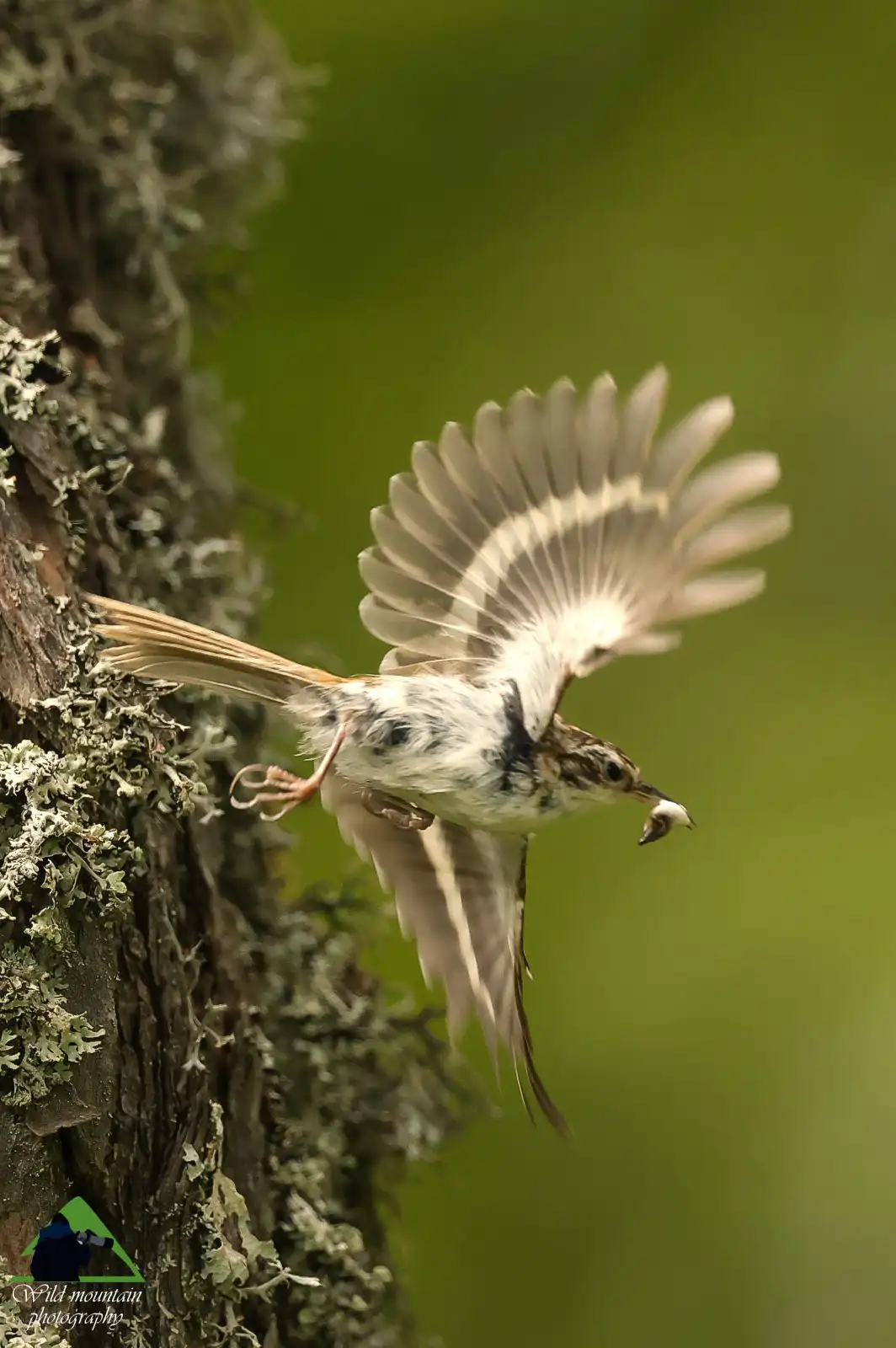
In addition to the utilitarian aspect, the environmental side of the reservoir is also interesting. Being the second noteworthy water surface of Alonnissos, and despite its artificial, barren slopes, the Kastanorema reservoir is nevertheless a valuable habitat for a few yet important migratory bird species. The list of recent observations includes the Great white pelican (Pelecanus onocrotalus), the Great cormorant (Phalacrocorax carbo), the Western marsh harrier (Circus aeruginosus) and the Ruddy shelduck (Tadorna ferruginea), while the European honey buzzard (Pernis apivorus), the Woodchat shrike (Lanius senator) and the Western subalpine warbler (Sylvia cantillans) have been recorded in the suroundings.
In addition to the utilitarian aspect, the environmental side of the reservoir is also interesting. Being the second noteworthy water surface of Alonnissos, and despite its artificial, barren slopes, the Kastanorema reservoir is nevertheless a valuable habitat for a few yet important migratory bird species. The list of recent observations includes the Great white pelican (Pelecanus onocrotalus), the Great cormorant (Phalacrocorax carbo), the Western marsh harrier (Circus aeruginosus) and the Ruddy shelduck (Tadorna ferruginea), while the European honey buzzard (Pernis apivorus), the Woodchat shrike (Lanius senator) and the Western subalpine warbler (Sylvia cantillans) have been recorded in the suroundings.
Nature
Cretan maple

The vegetation along Kastanorema ravine consists mainly of Kermes oak, Evergreek oak and Cretan maple.
The evergreen (as its name 'sempervirens' implies) Cretan maple is usually a tree up to 10-12 m in height, although due to the overgrazing it is often found in shrubby form. In mainland Greece is mainly found in the Peloponnese, while it has a frequent presence in the Aegean region. It usually forms small groups or mixed forests with cypresses and kermes oaks, while the presence of small pure maple forests on islands like Skyros and Chios is of particular interest.
In Alonissos it grows in many places, usually as isolated trees or in small stands.

topoguide Greece
ALONNISOS TOPOGUIDE

A detailed description of the Diaselo-Kastanorema-Agios Dimitrios trail, along with interactive maps, photos and POIs, is included in the digital field guide Alonnisos topoguide.
The digital field guide Alonnisos topoguide is available for Android devices as an in-app purchase within the application topoguide Greece. Alonnisos topoguide is a member of the Greek Islands group.
The digital field guide Alonnisos topoguide is also available for iOS (iPhone and iPad) devices as an in-app purchase within the application Topoguide Greece. There also, Alonnisos topoguide is a member of the Greek Islands group.