Hiking in Alonnisos
Hiking in Alonnisos
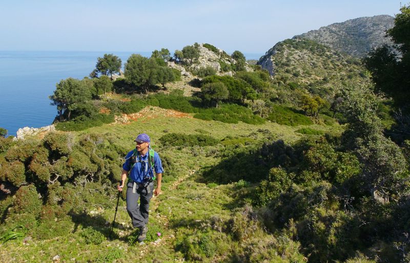
Thanks to the efforts of both the local Municipality the island's hikers, Alonissos today offers an interesting and constantly renewing hiking field; it is certainly the largest and most varied hiking terrain of all Sporades islands.
In the 2000s, a program for the restoration of Alonissos trail was initiated and implemented. The result was a very interesting hiking network of 15 trails, spread across the island - with the exception of the northernmost part, Gerakas. Although this infrastructure is already worn and many trails present local passability problems, especially after the snowfalls of 2017, this old project serves honestly the hiker, even today.
More recently, local friends of the paths of Alonissos, among whom Ilias Tsoukanas, Iasonas Tsoukanas and Bente Keller have a major role, continue the work of maintainance and marking of the routes, keeping alive the high hiking profile of the island.
The network suggested by topoguide.gr includes 27 routes, with a total length of 132 km. Twenty-six of these routes have been organized into three groups, while a full-day crossing of the entire island is also proposed, a concise version of a Long Distance Trails of the mainland.
The paths arounf Chora (Old) Alonnisos
As expected, the intensity of traffic and therefore the density of old paths, was greater around Chora, Patitiri and their satellites.
Most of these paths were stone-built and thanks to a stroke of luck they were kept fairly coherent.
Almost all the major paths around Chora were included in the restoration project of Alonissos paths and were cleaned and marked into numbered routes.
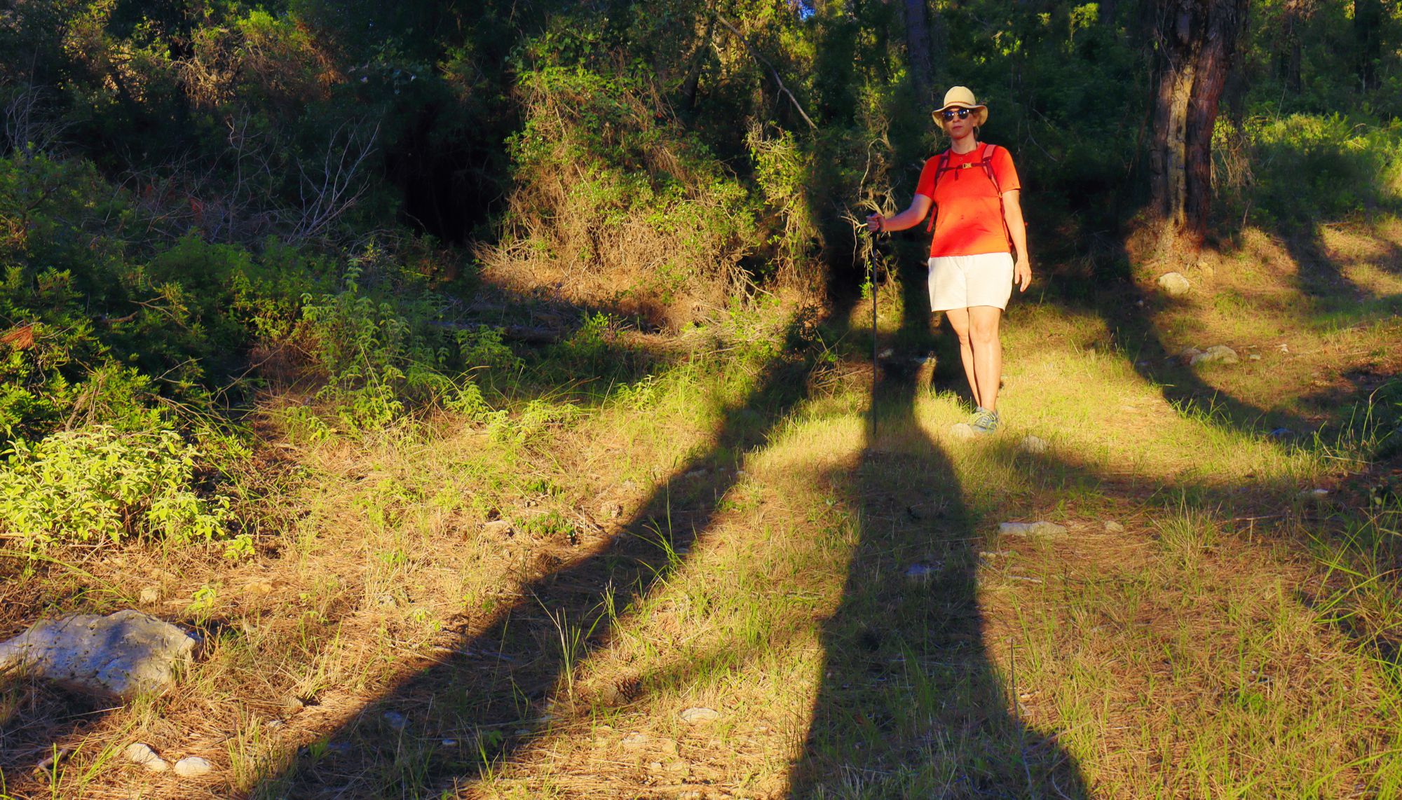
On the path to Agii Anargyri
Click to enalarge
On the path to Agii Anargyri
The hikes around Chora are as follows:
- Chora-Patitiri via the main cobbled path
- Chora-Megalos Mourtias via the direct way
- Chora-Megalos Mourtias via the ridge
- Chora-Mikros Mourtias-lighthouse, a combination of earth- and cobbled path
- Chora-Kalovoulos, an easy yet impressive ascent to the peak with the best view in Alonnisos
- Chora-Mikros Mourtias-Kalovoulos, an epic scrambling via the "alpine" western ridge of Kalovoulos peak
Along the hills of Alonnisos
Central Alonissos has a pronounced mountainous topography. The higher part of the range is rather level, while the densely forested slopes drop steeply towards the Aegean, especially on the northern side. A network of paths run through this small mountains and across the slopes to reach the beaches.
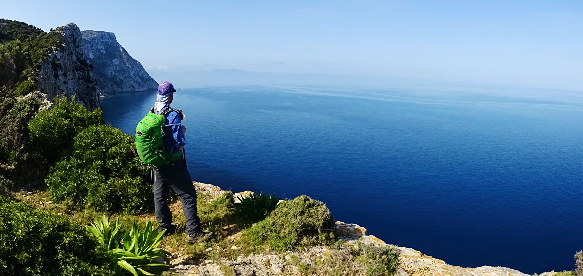
Papi location, near Gerakas
Click to enlarge
Papi location, near Gerakas
The trails along the hills of Alonnisos are:
- Agii Anargyri loop
- Patitiri-Votsi-Mega Nero loop trail
- Agios Georgios-Psili Rachi loop
- Diaselo-Kastanorema ravine-Agios Dimitrios
- Diaselo-Koumarorachi-Agios Dimitrios
- Mega Nero-Agalou Laka-Paliokalyva, crossing
- Mega Nero-Megali Ammos-Paliokalyva, crossing
- Votsi-Mega Nero-Tourkovigla crossing
- Votsi-Mega Nero-Geladias, a long trail from Votsi
- Papi-Gerakas loop trail
- Gerakas-Analipsi summit, a stenuous ascent to the Gerakas highest point
Trails to or along the coast
Another group of trails connects the main road to the most beautiful beaches of Alonissos. These trails are:
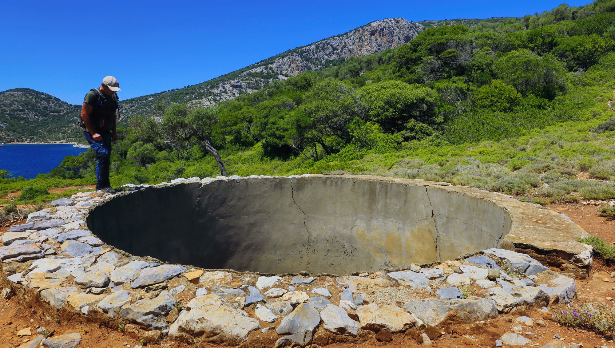
Tourkou Mnima: Discovering the poorest side of Alonnisos
Click to enlarge
Tourkou Mnima: Discovering the poorest side of Alonnisos
- Tsoukalia loop trail
- Gerakas-Tourkou Mnima, the easiest trail in the desolation of NE Alonnisos
Another group of five trails revolves around Votsi, the rural settlement of Isoma and the beaches of Steni Vala and Leftos Gialos.
- Votsi loop trail
- Isomata-Steni Vala
- Isomata-Leftos Gialos
- Main Road-Steni Vala
- Main Road-Leftos Gialos
The traverse of Alonnisos
The Great Traverse of Alonissos consists of a combination of paths and roads, most of which are already included into other trails. The interest for composing this long route is, on the one hand, that it crosses the entire island and, on the other hand, it connects with all the hiking routes of Alonissos. The route is almost 25 km long and can be done in 10 hours.
Marking and signposting
Signage is the most sensitive and weakest point of hiking trails in Greece. Alonissos, despite the effort that has been made on this matter in the past, today has returned to the common fate of all Greek hiking networks: after its initial installation, the signage begins to decline and no one maintains it. So the hiker of the third decade of the 21st century relies on an infrastructure of the 2000s, as this can be supplemented by the honorable efforts of the friends of the Alonnisos trails.
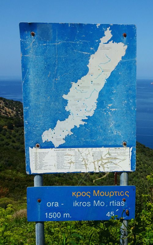
signpost
Chora
Mikros Mourtias
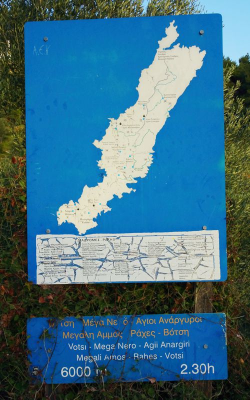
signpost
Mega Nero
Agii Anargyri
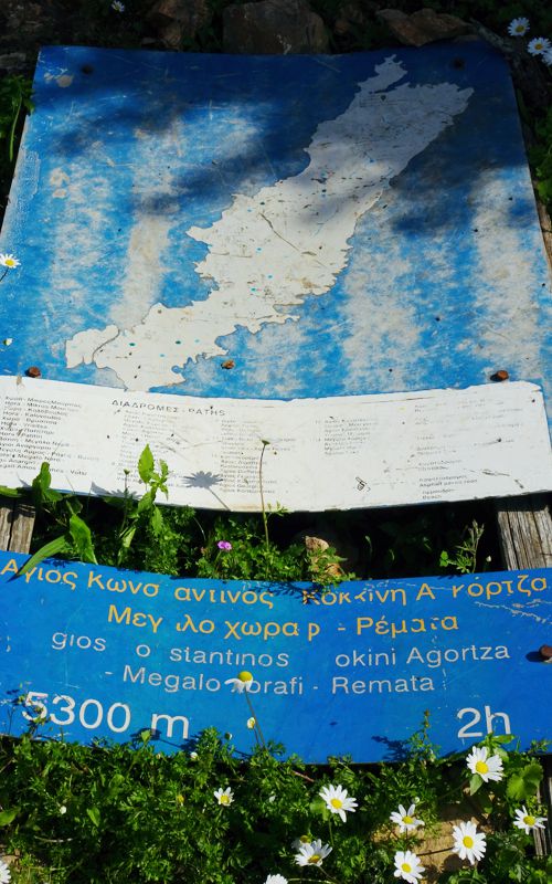
Kokini Agortsa
Megalo Chorafi
Remata
The original signage consisted of several trail or area signposts, with a rough map and some basic route information. Most of these signs have been removed or damaged.
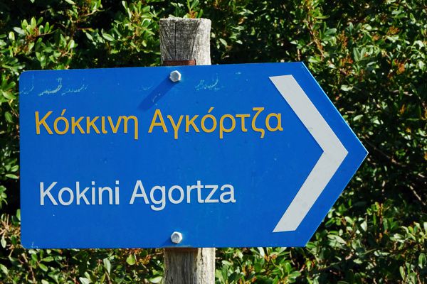
signpost
Kokini Agortsa
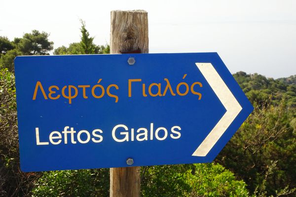
signpost
Leftos Gialos
As part of the same project, dozens of direction signs were installed, indicating a destination, yet with no distance/time information. Most of these signs are still in place and although damaged or faded out, they still serve the hiker.
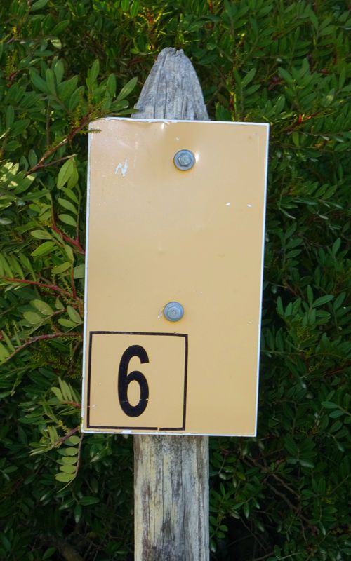
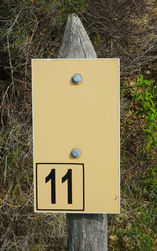
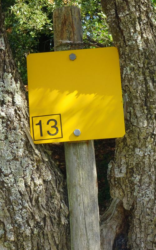
Along most of the trails, confirmation signs were also placed on metal posts, with the code number of the route. Most of these signs are still in place, while others have vanished.
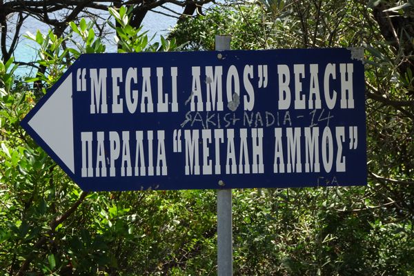
signpost
Megali Ammos
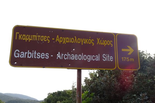
site
signpost
Finally, there are various other signs, official or improvised, usually at the beginning of a dirt road, orienting the hiker and the visitor alike.
Gates and fences
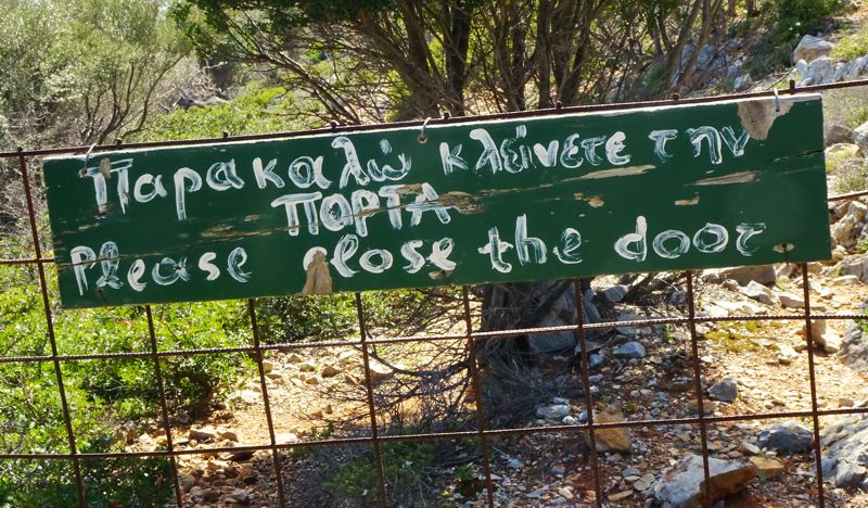
On most trails, the hiker will encounter makeshift "doors" put up by shepherds the control the movement of the animals. These are minimalistic construction, parts of a wider fence and usually made by the same materials. Most are easy to open, others are a bit annoying: in any case, close the "door" back again.
Text and photos by T. Adamakopoulos

topoguide Greece
ALONNISOS TOPOGUIDE
The digital field guide Alonnisos topoguide is available for Android devices as an in-app purchase within the application topoguide Greece. Alonnisos topoguide is a member of the Greek Islands group.
The digital field guide Alonnisos topoguide is also available for iOS (iPhone and iPad) devices as an in-app purchase within the application Topoguide Greece. There also, Alonnisos topoguide is a member of the Greek Islands group.
Once in the field, the application suggests a list of nearby trails and provides active navigation on the selected one. Along the trail, the app points out the adjacent Points of Interest, and opens the relevant chapter of the guidebook.

