Discover Alonnisos
Discover Alonnisos
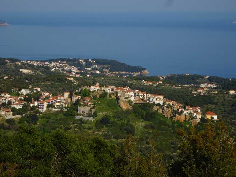
Alonissos Island has been registered as one of the most popular hiking destinations in the Northern Aegean islands. The lack of tourism "noise" and the simplicity of things offers the visitor of the island the feeling of an original place, a minimalistic paradise, which manages quietly to be more seductive than other places, more rich yet more tedious.

Alonnisos
On the Agii Anargyri loop trail
Discover Alonnisos
On the Agii Anargyri loop trail
Discover Alonnisos
×
![Discover Alonnisos Discover Alonnisos]()
Alonnisos
On the Agii Anargyri loop trail
On the Agii Anargyri loop trail
Text and photos by T. Adamakopoulos

topoguide Greece
ALONNISOS TOPOGUIDE
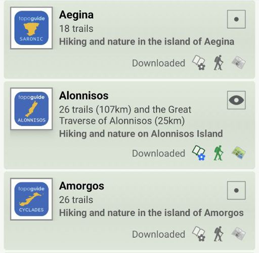
Created by hikers and environmentalists, Alonnisos topoguide is a detailed field guide for the hiker and the nature lover visiting Alonnisos Island. The guide includes all known trails, interactive maps, tenths of photos and dedicated chapters on all interesting aspects of the island.
Digital field guide Alonnisos topoguide is available for Android devices as an in-app purchase within the application topoguide Greece. Alonnisos topoguide is a member of the Greek Islands group.
Digital field guide Alonnisos topoguide is also available for iOS (iPhone and iPad) devices as an in-app purchase within the application Topoguide Greece. There also, Alonnisos topoguide is a member of the Greek Islands group.
Once in the field, the application suggests a list of nearby trails and provides active navigation on the selected one. Along the trail, the app points out the adjacent Points of Interest, and opens the relevant chapter of the guidebook.


