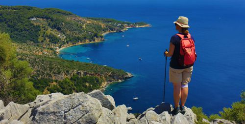
Discover Skyros Island
Located almost in the center of the North Aegean, Skyros and its numerous (more than 30) satellite islets form a small, rather isolated archipelago. It is a place that fascinates with the intense landscape contrasts, as the verdant and pine-covered northern part reminds the Northern Sporades, while the dry and rocky southern part resembles more of the Cyclades. Together with the unique ecological and cultural features of the island, Skyros is a destination with a unique identity.
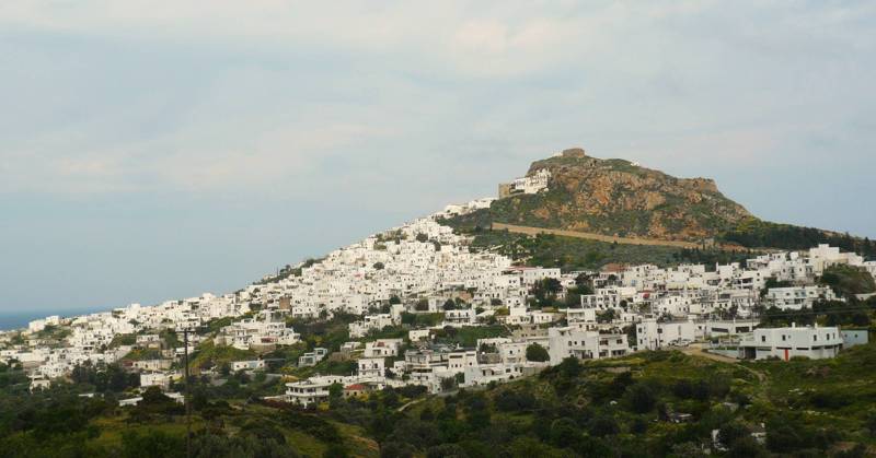
The traditional settlement of Chora is the core of the social life of the island and the place where administrative and other public services are located. The settlement spreads mainly on the western side of a hill with a steep rocky outcrop, on the top of which is the fortified Kastro (Castle). Within the Castle is built the monastery of Agios Georgios.

topoguide Greece
SKYROS TOPOGUIDE
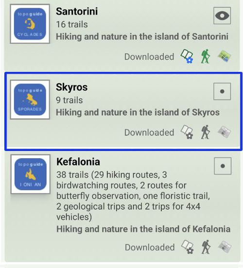
Digital field guide Skyros topoguide is available for Android devices as an in-app purchase within the application topoguide Greece. Skyros topoguide is a member of the Greek Islands group.
Digital field guide Skyros topoguide is also available for iOS (iPhone and iPad) devices as an in-app purchase within the application Topoguide Greece. There also, Skyros topoguide is a member of the Greek Islands group.
Once in the field, the application suggests a list of nearby trails and provides active navigation on the selected one. Along the trail, the app points out the adjacent Points of Interest, and opens the relevant chapter of the guidebook.


