Geography of Alonnisos
Geography of Alonnisos
Northern Sporades
The island complex of the Northern Sporades consists of four groups of islands around Skiathos, Skopelos, Alonissos islands and the remote island of Skyros.
The islands are the visible members of the submerged part of the great mountain range running along the eastern shores of of central Greece: it is the long range that starts at the borders and includes Mt Vermio, Mt Pieria, Mt Olympus, Mt Kissavos (Ossa), then lowers to Mt Mavrovouni and ends with Mt Pelion.
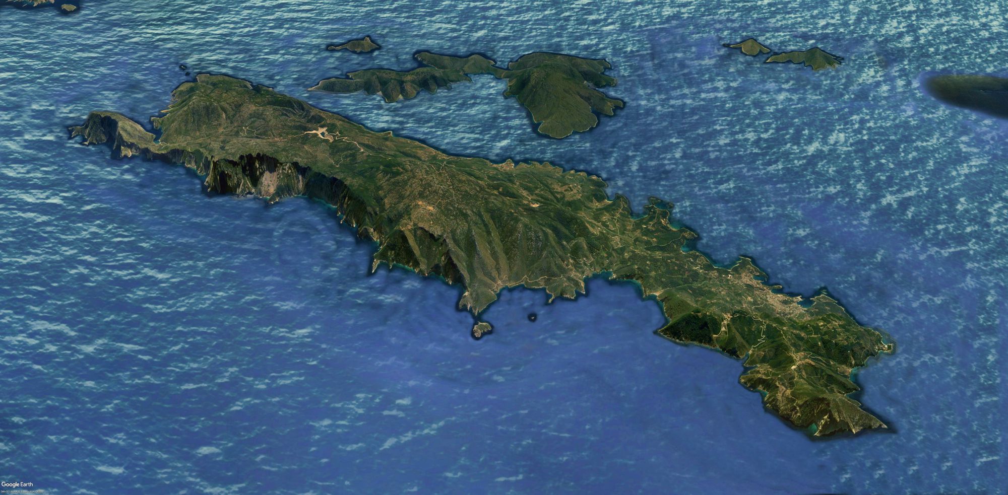
Satelite image of Alonnisos Island
Click to enlarge
Satelite image of Alonnisos Island
Alonissos is the smallest of the Sporades and is the easternmost of the three islands of Magnesia - Skiathos, Skopelos, Alonissos.
The island is separated from Skopelos by the Strait of Alonissos, a 3.7 km (2 mi) wide channel. There are two fairly large islands in between, Mikros and Megalos Agiorgis.
Alonnisos archipelago
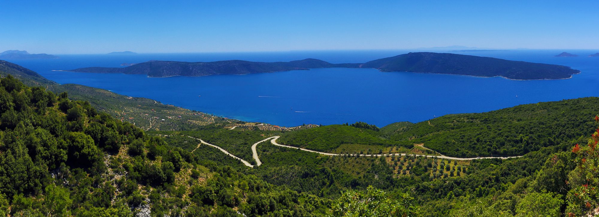
Peristera Island
Click to enlarge
Peristera Island
Alonissos is surrounded by many smaller islands and islets, all uninhabited, most of which are located to its east and south.
The islands are Mikros and Megalos Agiorgis, Dyo Adelfia, Peristera, Lehousa, Fagrou (or Pelerissa), Kyra Panagia (Pelagonisi) with the islets of Pappous, Koumbi, Grammeza, Melissa and Sfika, and finally the remote Gioura Island.
Between or near these islands and Alonissos are the islets Gaidouronisia (with the rock islets Gaidaros and Polyrichos), Moules, Skatzoura (together with the islets Lachanou, Polemika, Kasidis, Strogylos and Prasso), Korakas, Skandili, Piperi and Psathoura.
The place name Alonnisos
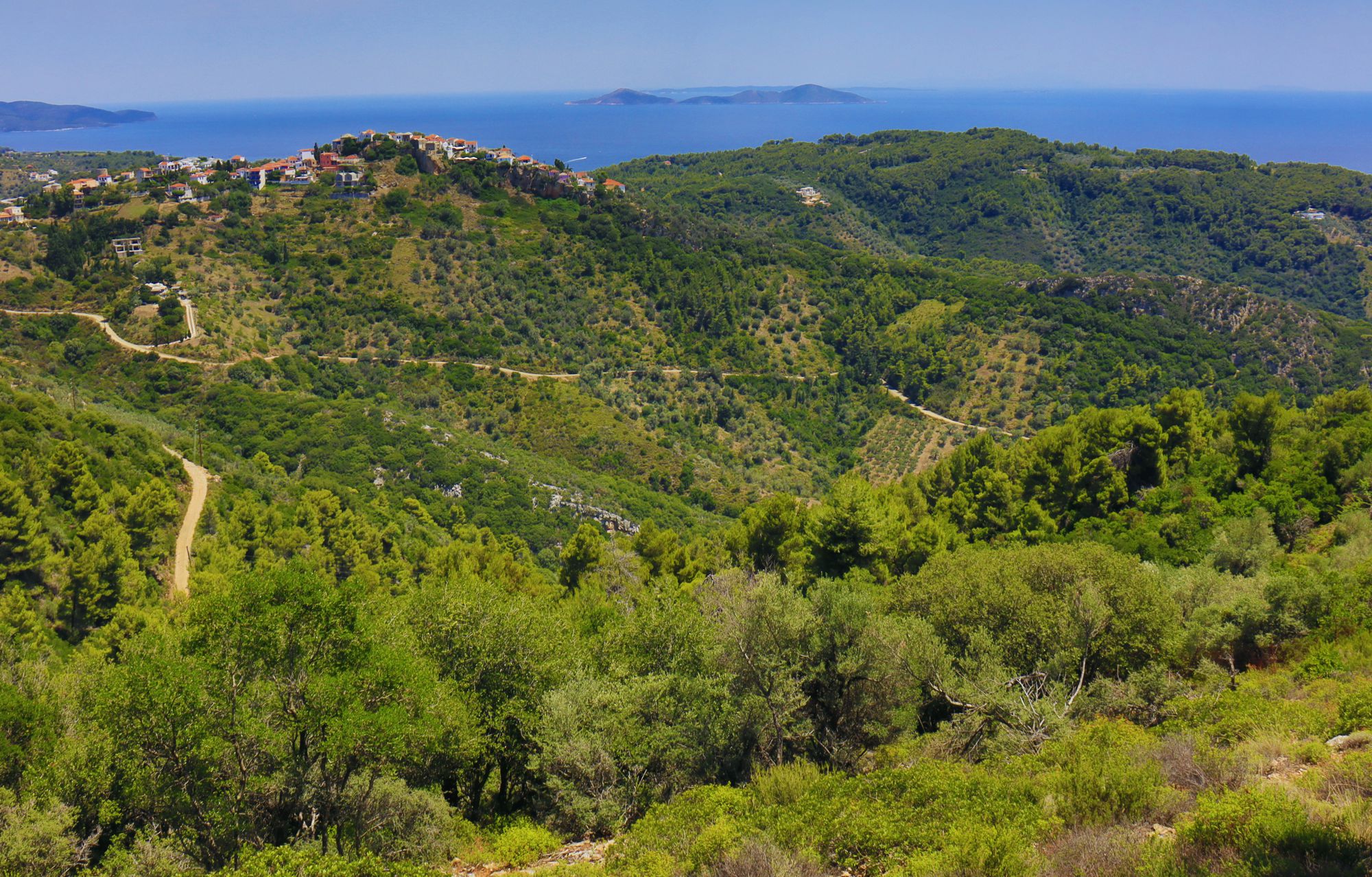
Typical landscape of Alonnisos - the area around Chora
Click to enlarge
Typical landscape of Alonnisos - the area around Chora, as seen from Mt Kalovoulos
Alonissos Island in ancient times was called Ikos and in the Middle Ages Liadromia. The name Alonissos was attributed by the ancient geographers to Kyra-Panagia Island. It is said that the "transfer" of the name Alonissos to today's island was due to a mistake of the recording of the place names during the first period of the establishment of the Greek state, in early 19th century.
An overview of the inhabitation network
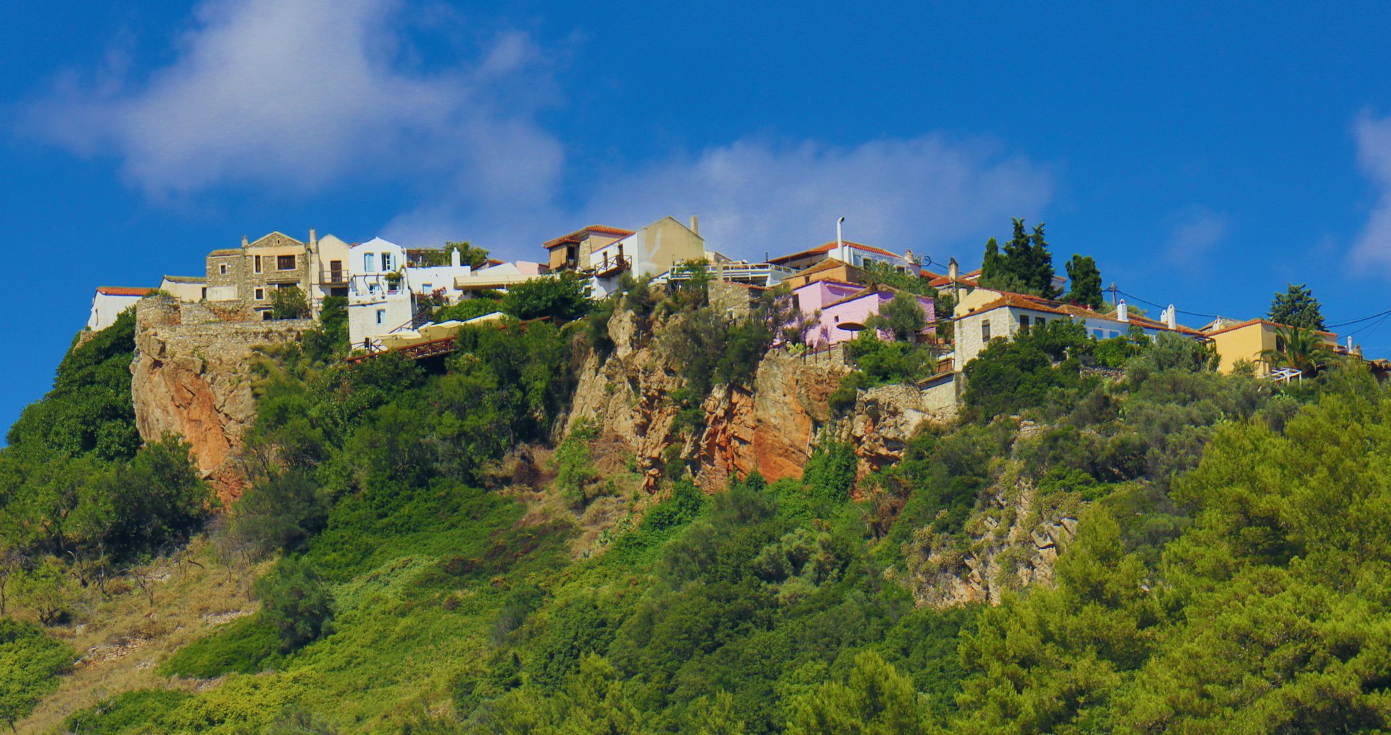
The Chora of Alonnisos
Click to enlarge
The Chora of Alonnisos
Alonissos Island has a clearly elongated shape. With a length of 20 km and a width between 3 and 4 km, has a total area of 64 sq.km. There are 13 settlements on the island; four of them (Patitiri, Votsi, Chora and Steni Vala) accoun for 92% of the total population of the island - 2,800 people in 2011 census.
Most of the permanent and active population are living in Patitiri and Votsi villages. Patitiri is the port of the island and a major commercial hub, while it gathers all the social infrastructure, manufacturing, services and a large part of the tourist infrastructure.
The settlements of summer inhabitation are Mourtero, Agios Petros, Agios Dimitrios, Isomata, Gerakas and Kalamakia. The north part of Alonnisos is uninhabited: olny seasonal rural activities are carried out in the old hamlets of Diaselo, Merada and Vdoneri.
Geomorphology
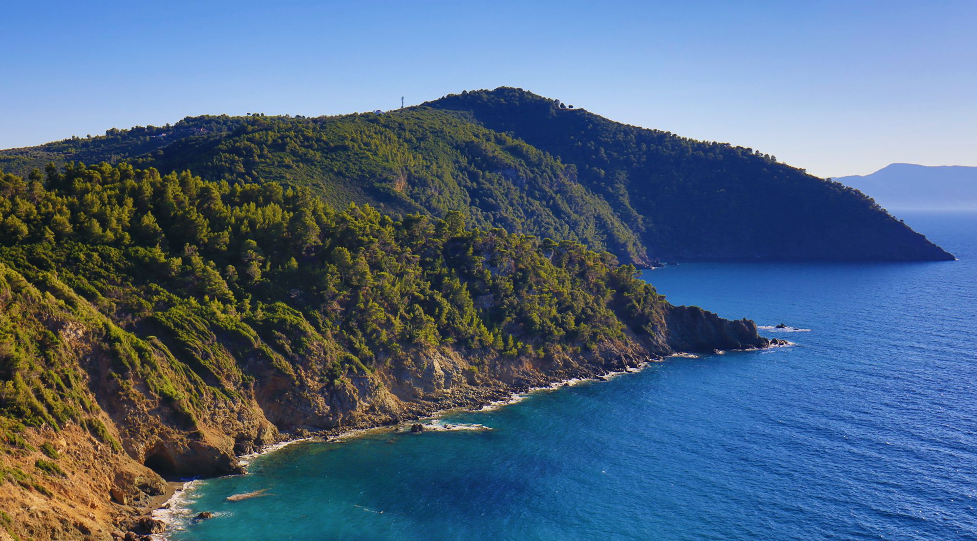
Northern shore, as seen from Agii Anargyri
Click to enlarge
Northern shore, as seen from Agii Anargyri
The topography of Alonissos is mountainous, with a great variation of the two sides of its elongated shape: the relief is smooth in the south and southeast coast, while it is very steep and rocky along the entire northern coastline.
The highest peak is Kouvouli (493 m.), located a bit out of the main axis of a rather smooth hill range. Arable plateaus and friendly valleys are scattered along these hills.
Beaches of Alonnisos
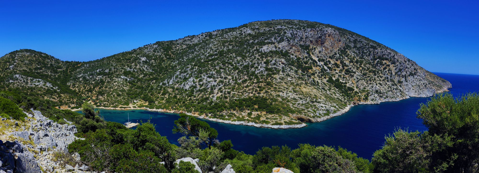
Gerakas bay
Click to enlarge
Gerakas bay and Analipsi peak
The rough length of the island's coastline reaches 64 km. The beaches at the southern and eastern bays are easily accessible and often sandy or gravel paved, while the northern beaches are small or inaccessible, surrounded by rocks and wild vegetation. Consequently, all the southern beaches are developed for swimming and holidays and gather a healthy tourism infrastructure and some inhabitation.
The most popular beaches of Alonissos are Chrysi Milia, Agios Dimitrios, Leftos Gialos, Kokkinokastro, Megali Ammos, Megalos Mourtias, Vythisma, Gerakas, Roussoum Gialos and Tzortzi Gialos.
Text and photos by T. Adamakopoulos

topoguide Greece
ALONNISOS TOPOGUIDE
Digital field guide Alonnisos topoguide is available for Android devices as an in-app purchase within the application topoguide Greece. Alonnisos topoguide is a member of the Greek Islands group.
Digital field guide Alonnisos topoguide is also available for iOS (iPhone and iPad) devices as an in-app purchase within the application Topoguide Greece. There also, Alonnisos topoguide is a member of the Greek Islands group.

