Chora Alonnisos-Patitiri
Around Chora Alonnisos
Chora Alonnisos-Patitiri
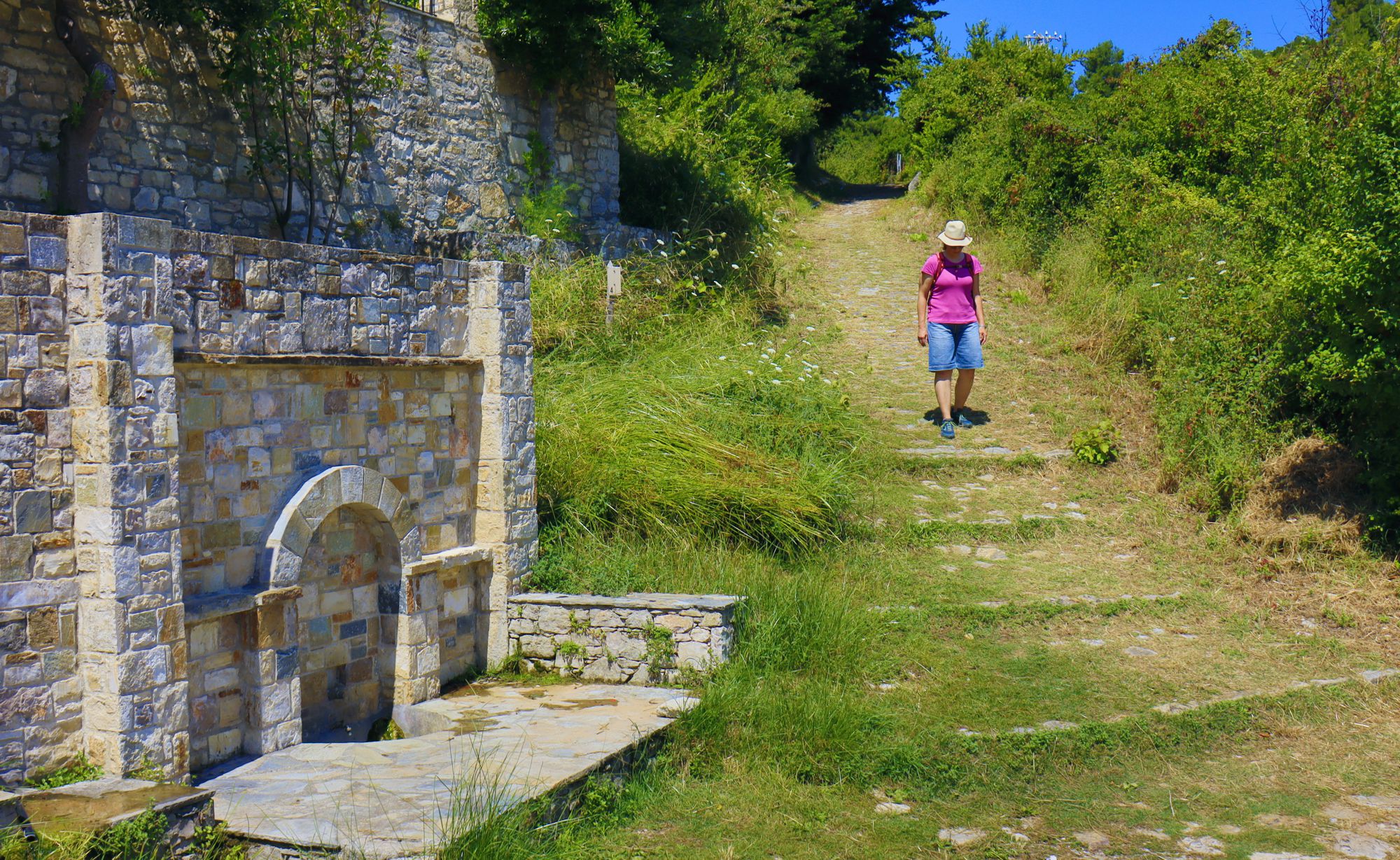
On the pathway to Patitiri
Click to enlarge
On the pathway to Patitiri
The most important, best built and most traveled path on an island is the one that connects the main village with its port.
So in Alonissos, the best made and best maintained cobbled path is the one that connects Chora to Patitiri. It is a gently-slopped, wide paved road, through which countless people, animals and loads have passed and the lamentations and hugs of endless departures and returns have echoed.
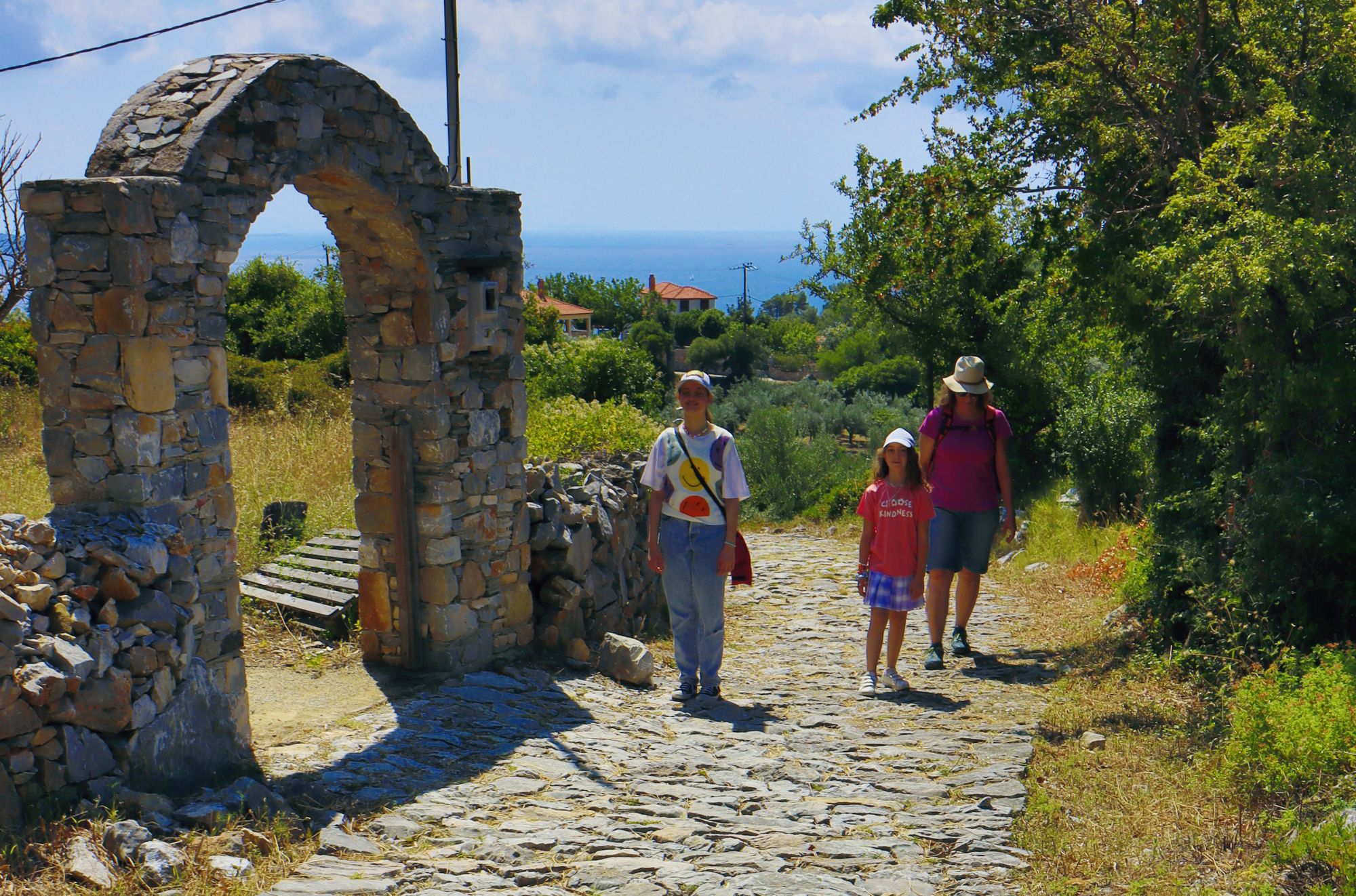
Walking uphill the Chora Alonnisos-Patitiri trail
Click to enlarge
Walking uphill the Chora Alonnisos-Patitiri trail
Obviously, the downhill version of the route frees the hiker from the - albeit small - physical strain and leaves the spirit light to enjoy the route.
If you have just half an hour to spare on the island, devote it to this inspiring walk. It's worth it.
From the Chora's main square, take the alleys crossing the settlement and then follow the tarmac road that zigzags towards Patitiri. Shortly after the threshing floors of the village, there is a signpost indicating the beginning of the cobbled path.
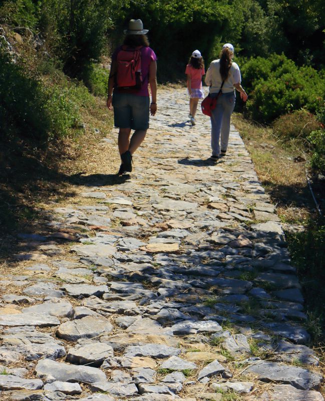
We meet the first houses and immediately afterwards the main road crossing Patitiri. Follow this road it to the harbour.
Text and photos by T. Adamakopoulos
Signage
Marking and signposting
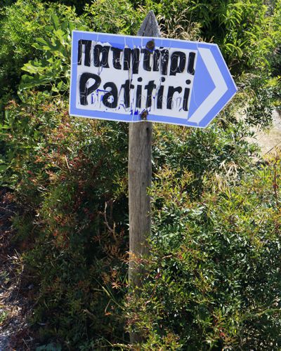
There is no other signage along the route, nor is there any need for it anyway, given the excellent walkability of the cobblestone path.
Notifications
Some practical notes
The return can be made by the same path, by bus or by taxi.
The offerings in Patitiri are rich: by just crossing the settlement, you pass in front of many smaller and larger food shops and other shop.
On the right side of the port there is a small, pleasant and clean beach.

topoguide Greece
ALONNISOS TOPOGUIDE
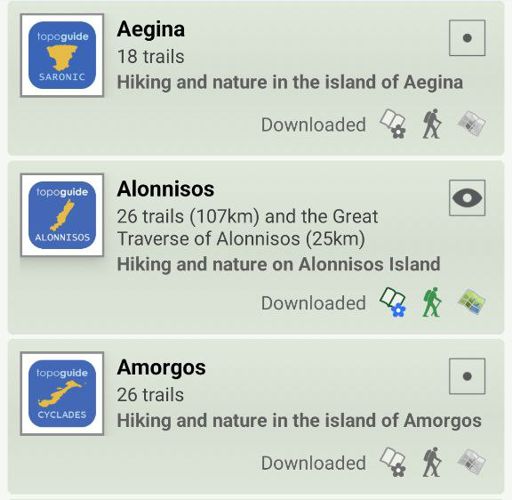
The digital field guide Alonnisos topoguide is available for Android devices as an in-app purchase within the application topoguide Greece. Alonnisos topoguide is a member of the Greek Islands group.
The digital field guide Alonnisos topoguide is also available for iOS (iPhone and iPad) devices as an in-app purchase within the application Topoguide Greece. There also, Alonnisos topoguide is a member of the Greek Islands group.

