Chora Alonnisos-Kalovoulos
Around Chora Alonnisos
Chora Alonnisos-Kalovoulos
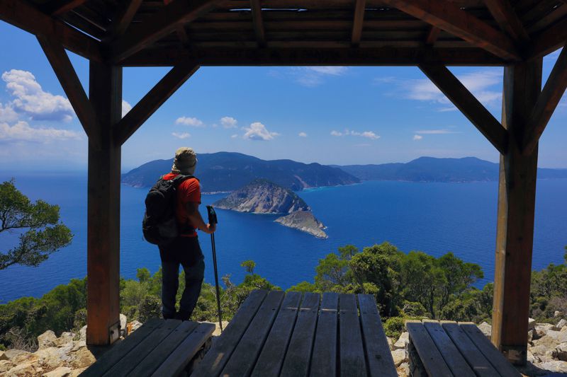
Kalovoulos is the highest peak near the Chora of Alonissos. From its 325 meters, it overlooks the Alonissos-Skopelos Strait, as well as the remote beaches of Mikros and Megalos Mourtias and Vrysitses beach.
A real natural fortress, Kalovoulos peak hosted the inhabitants of the island when the sircumstances turn bad: jowever, the few building remains testify that the inhabitation in Kalovoulos was limited in time and probably related to the guards of temporary observatories of the dark Middle Ages.
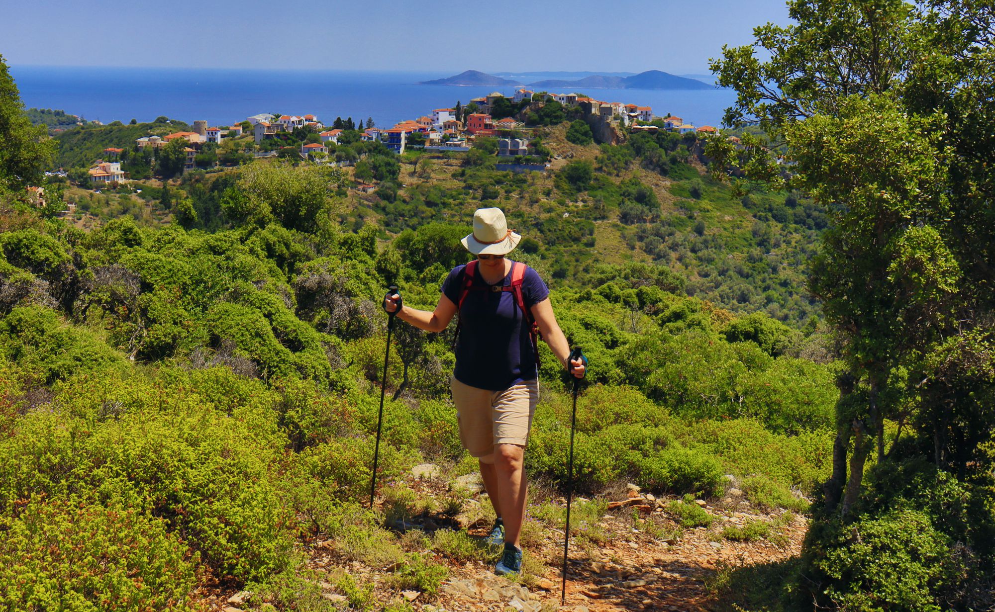
Inaccessible from most of its sides, Kalovoulos confirms its name (Kalo-voulos = of good will) only from the southern face, where a dense pine forest hides a few terraces, some springs and a very good path: the path used by the locals to take refuge in the last fortress of the island.
This is the very path will also bring us from sweet Chora to the prominent peak.
The hike starts from Alonnisos Chora main square. Via small roads, we reach the beginning of the path and star climbing the very good path to the shoulder of Kalovoulos, where there are ruins of buildings and a signpost.
Text and photos by T. Adamakopoulos
Signage
Marking and signposting
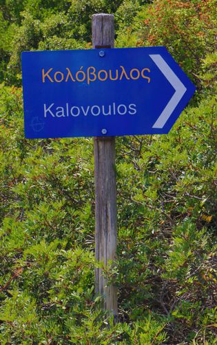
There is a direction signpost at the trailhead and two more signposts on the Kalovoulos pass.
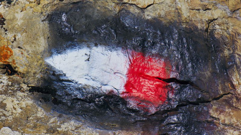
The trail is marked with red signs, neater than the signs used on the on the other trails of the island. The path is also well trodden and clean and walking is seamless and pleasant.

topoguide Greece
ALONNISOS TOPOGUIDE
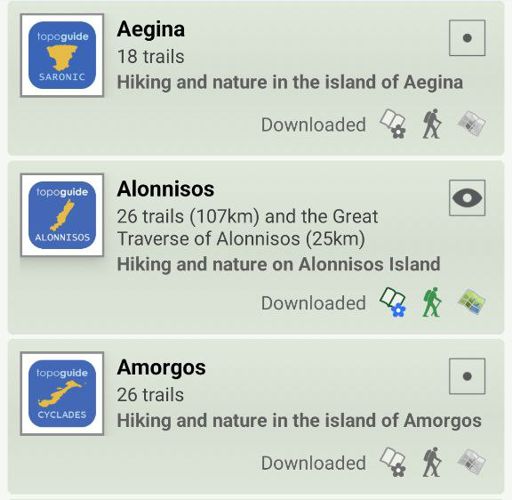
The digital field guide Alonnisos topoguide is available for Android devices as an in-app purchase within the application topoguide Greece. Alonnisos topoguide is a member of the Greek Islands group.
The digital field guide Alonnisos topoguide is also available for iOS (iPhone and iPad) devices as an in-app purchase within the application Topoguide Greece. There also, Alonnisos topoguide is a member of the Greek Islands group.

