The refuges: Giosos Apostolidis refuge
The refuges of Mt Olympus
Giosos Apostolidis refuge
via Gortsia
Text and photos by Triantafyllos Adamakopoulos
An early winter ascent to Giosos Apostolidis refuge via Gortsia
The ascent to Giosos Apostolidis refuge from Gortsia follows one of the most popular paths of Mt Olympus.
The starting point is Gortsia, or simply Diastavrosi ("diastavrosi" stands for the crossroad, 1100 m. elev.), an old muleteers resting place. In front of the mule pen there is a small open-air parking lot. Gortsia is 13.5 km or half an hour drive far away from Litochoro.
The path starts from the parking lot of Gortsia, following a wide path along the coniferous forest, plotted by beech stands. In general, the path has a quite gentle slope, the flow of walking is interrupted, however, by the many "steps" left behind by the erosion, but also the wear from the heavily loaded mules.
The waymarking consists mainly of red signs on trees and rocks and various other markings, often old. The signage is fairly dense up to the Petrostrouga refuge and quite consistent up to the top of Skourta.

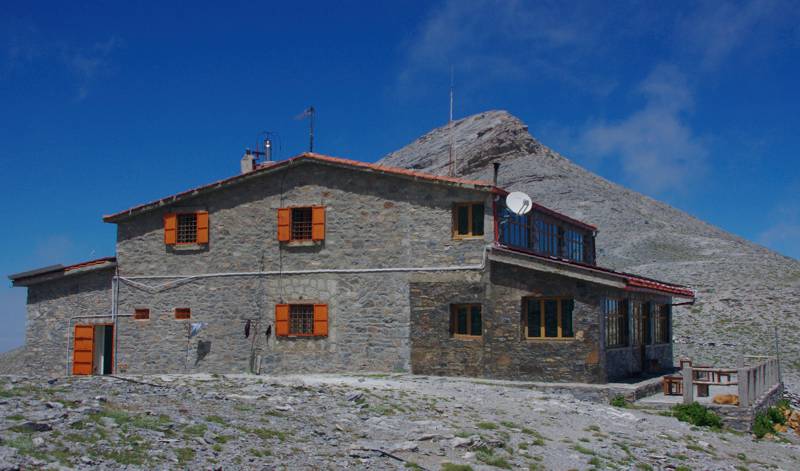
Giosos Apostolidis refuge,
the shelter standing on the higher elevation in Greece
Fifteen minutes after Strangos we reach the edge of the large karst plateau of Petrostrouga, where the Petrostrouga refuge stands out (1930 m. elev., 2h-2h30 from Gortsia).
The path to Skourta comes out of the forest and ascends steadily, with open maneuvers on bare slopes. At 1h-1h30 from Petrostrouga we reach the top of Skourta (2476 m.). From Skourta, we descend to the Lemos saddle (the Neck) along a sharp ridge. Often, there we meet the level of the fog, rising from Kokkala cliffs and the ravine of Enipeas.

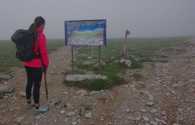
on the junction of the two refuges

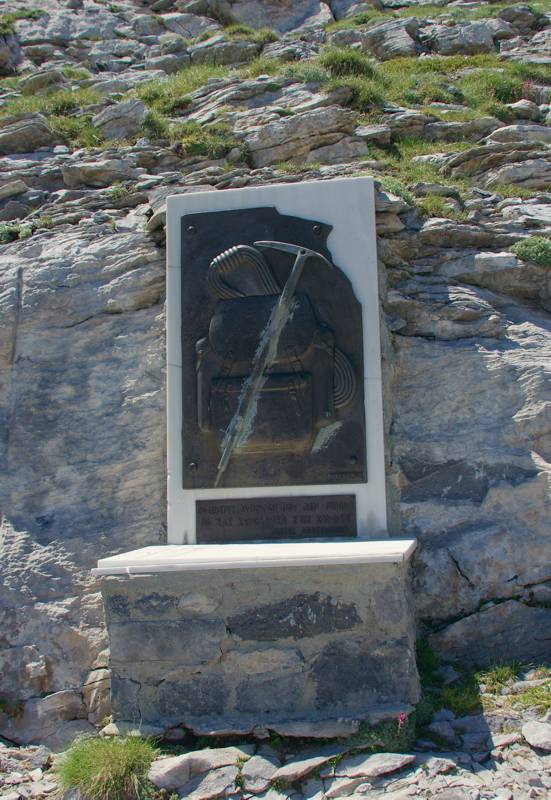
A memorial dedicated to Giosos Apostolidis
"Mountaineers, I'm sorry I can't accompany you to the peaks"
The Apostolidis refuge is built on the saddle between the outcrops of Profitis Ilias and Toumba, with a nice view to the Muses Plateau, the eastern face of Stefani and the Kalogeros massif.

Elevation profile of the ascent to Giosos Apostolidis refuge via Gortsia
(click to enlarge).
A hiking and mountaineering guide to Mt Olympus

A detailed description of the ascent to Giosos Apostolidis refuge via Gortsia, with accurate metrics, linked to photos and POIS, is included in the hiking app Mt Olympus topoguide.
Mt Olympus topoguide field guide is available for Android devices via Play Store.
Mt Olympus topoguide is also available for iOS (iPhone και iPad) devices as an in-app purchase via the hiking application Topoguide Greece.
Mt Olympus topoguide field guide offers detailed off-line hiking maps. Once in the terrain, the app provides active navigation along the trail, helping the hiker to stay on route and reach the destination, even under adverse conditions.

