E4 Trail: Spilios Agapitos refuge-Litochoro
E4 Trail on Mt Olympus
Spilios Agapitos refuge-Litochoro
via Prionia and the Enipeas gorge
Of the three mountain sections of E4 (Kokinopilos - Christakis bivouac, Christakis bivouac-Spilios Agapitos refuge and Spilios Agapitos refuge-Litochoro), the section Spilios Agapitos refuge - Prionia - Enipeas gorge - Litochoro is the most complex and unexpected. From a start to destination elevation values point of view could be perceived as a simple descent. However, it will soon reveal itself as a true adventure, worthy of Mt Olympus and a model of how the whole of E4 should be in Greece.
This quite long route begins with the downhill section Spilios Agapitos refuge - Prionia, a hike 5.65 km long, without surprises, on an excellent path and with very good waymarking. Arriving at Prionia, the hiker has the opportunity to reorganize himself- during the day there are restaurants, a snack bar and a small shop selling useful items.
From Prionia, E4 continues along the Enipeas ravine. This section is a fairly long (almost 11 km) hike with several short yet steep ascents and descents, which can surprise the hiker, already tired by the long descent from Spilios Agapitos refuge.

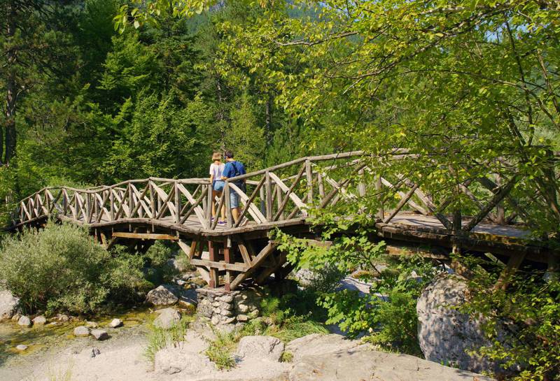
The route along the Enipeas ravine starts from Prionia and is slightly downhill till the Agios Dionysios monastery area. You meet the first wooden bridge right after the parking lot (in total you will find 7 well-made wooden bridges).
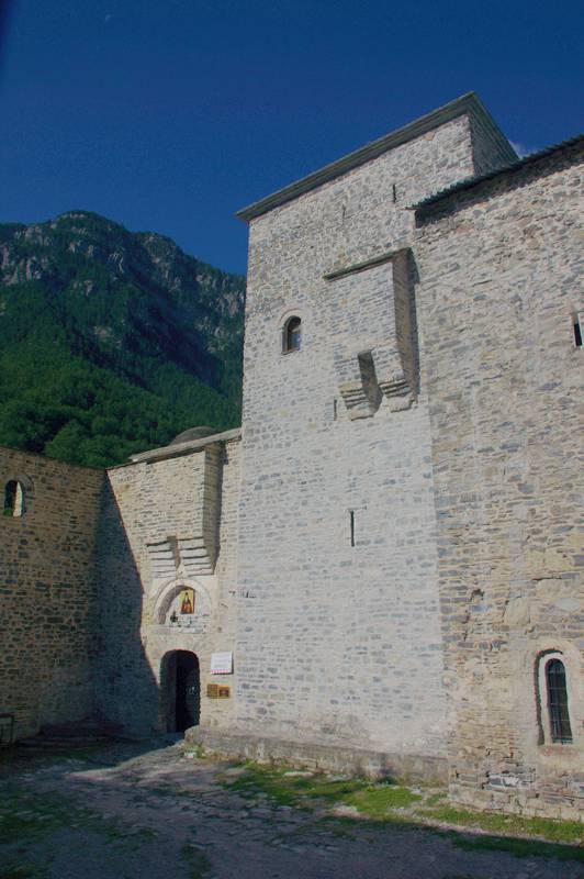
Despite deviation, it is worth visiting the monastery of Agios Dionysios (you must cross the wooden bridge, there is also a fountain in the car parking area, a little higher than the monastery).
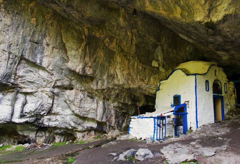
Back to the main path, you will soon reach the Agio Spileo ("Holy Cave"), a large rock shelter housing the chapel of the Nativity of Christ.


Take the right path and continue near the riverbed. After the 7th bridge (a location called Kastana) begins a prolonged ascent on a rocky terrrain, yet always on a well trotten path. Reach a fountain (note the junction to Golna area) and continue to the rocky shoulder, from where begins a long descent. After a narrow passage caled Portes ("the Gates") and some ups and downs, you reach the outskirts of Litochoro, near the old watermills of the village. The location is called Myli ("the Watermills"), now there is a guardhouse, a restaurant and a fountain. Walk down the streets of the small town to the central square.
The whole route is on an excellent path, with fairly good waymarking, mostly with E4 marks.

Elevation profile of the
Spilios Agapitos refuge - Prionia - Enipeas gorge - Litochoro section.
Elevation profile of the
Spilios Agapitos refuge - Prionia - Enipeas gorge - Litochoro section.
Text and photos by Triantafyllos Adamakopoulos
A hiking and mountaineering guide to Mt Olympus

A detailed description of the E4 section from the Spilios Agapitos refuge to Litochoro, with accurate metrics, linked to photos and POIS, is included in the hiking app Mt Olympus topoguide.
Mt Olympus topoguide field guide is available for Android devices via Play Store.
Mt Olympus topoguide is also available for iOS (iPhone και iPad) devices as an in-app purchase via the hiking application Topoguide Greece.
Mt Olympus topoguide field guide offers detailed off-line hiking maps. Once in the terrain, the app provides active navigation along the trail, helping the hiker to stay on route and reach the destination, even under adverse conditions.

