E4 Trail: Christakis bivouac-Spilios Agapitos refuge
E4 Trail on Mt Olympus
Christakis bivouac-Spilios Agapitos refuge

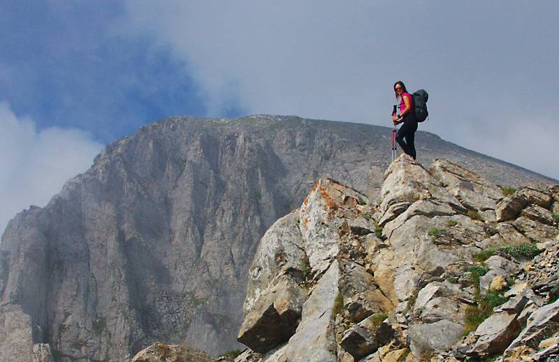
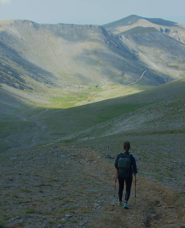
The E4 crosses Mt Olympus with three impressive sections, starting with the uphill Kokinopilos-Christakis bivouac route, continuing with the alpine trail Christakis bivouac-Spilios Agapitos refuge and concluding with the long and tedious descent Spilios Agapitos refuge-Litochoro. With one more leg, the Litochoro-Dion section, the E4 Trail leaves Mt Olympus.
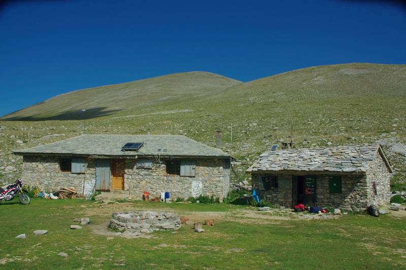
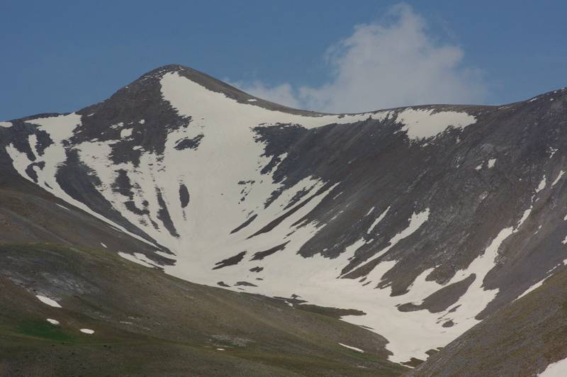
The E4 section from Christakis bivouac to the Spilios Agapitos refuge starts from Laka Christaki plateau, hosting the Christakis bivouac and the adjacent Kalyva Christakis, an old shepherd's house which nowadays serves as an emergency refuge. The E4 climbs the smooth basin up to 2700 m mark, just below the Skolio summit.


While on Skala peak, one can deviate for a quick ascent to Mytikas via Kakoskala (45 min.). Most mountaineers leave their large backpacks in a safe place, in the first meters of the descent to Paramytikas, and continue with a light daypack.


Elevation profile of the E4 section
from Christakis bivouac to the Spilios Agapitos refuge
(click to enlarge).
Text and photos by Triantafyllos Adamakopoulos
A hiking and mountaineering guide to Mt Olympus

A detailed description of the E4 section from Christakis bivouac to the Spilios Agapitos refuge, with accurate metrics, linked to photos and POIS, is included in the hiking app Mt Olympus topoguide.
Mt Olympus topoguide field guide is available for Android devices via Play Store.
Mt Olympus topoguide is also available for iOS (iPhone και iPad) devices as an in-app purchase via the hiking application Topoguide Greece.
Mt Olympus topoguide field guide offers detailed off-line hiking maps. Once in the terrain, the app provides active navigation along the trail, helping the hiker to stay on route and reach the destination, even under adverse conditions.

