Spilios Agapitos refuge-Zonaria-Louki-Kakoskala-Skala
Ascent to Mytikas
Spilios Agapitos refuge-Zonaria-Louki-
Kakoskala-Skala-Spilios Agapitos refuge
The ascent from Spilios Agapitos refuge to Mytikas via the Louki and the return via Kakoskala and Skala back to the refuge is one of the two preferred routes to Mytikas - the other is the Muses Plateau-Zonaria of Stefani-Louki Mytikas route.
From the Spilios Agapitos refuge, go up the well-marked and clean E4 trail that runs through sparse stands of Bosnian pine trees (Pinus heldreichii). Pass a ravine and climb steadily for about half an hour, up to a stone-built bench.
Following the long path that maneuvers on the bare and rocky slope, till a junction: the path to the left is marked with the E4 signs and leads to Christakis bovouac, while we will continue to the right, on the path leading to Zonaria. The signposting of the junction is not related with the importance of the junction.
The crossing of the Zonaria of Mytikas is one of the most intense experiences on Mt Olympus: the linear formations of the successive layers of ancient sediments extend from the hiker's feet to the horizon. The path is very good, stable and wide. With few maneuvers, we reach the base of Louki of Mytikas and we should prepare ourselves for the climb.
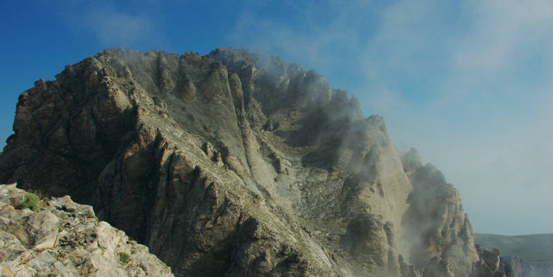
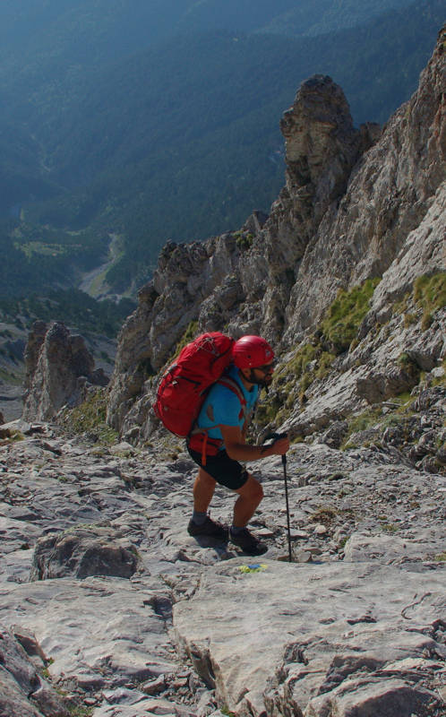
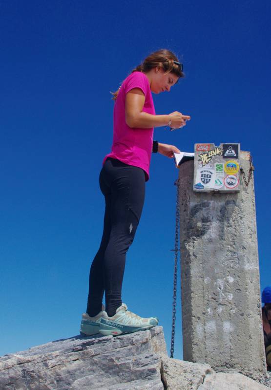
On the summit, don't forget to leave your mark on the summit book - obviously we leave nothing else.
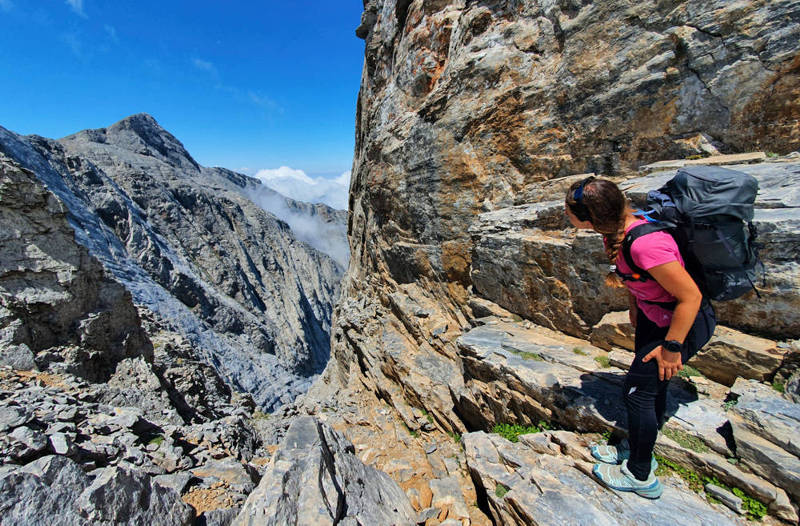
Climb safely a few meters up to the top of Paramytikas and carefully descend a row of slabs to the Paramytikas-Kakoskala crag. The passages are on very good rock and the yellow/red marks guide safelly your steps.
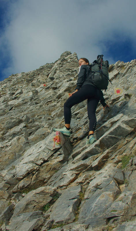
Gain the summit of Skala. After a well earned rest, take the well-written yet "endless" path to the Zonaria-Agios Antonios junction. At the junction, the terrain changes and from a rolling scree becomes stable rocky ground. Continue downhill with maneuvers and after passing the junction with Chondromesorahi (the stone-built bench !), follow the increasingly earthy path to the Spilios Agapitos refuge.

Elevation profile of the ascent
from Spilios Agapitos refuge to Mytikas via the Louki
and back to the refuge via the Kakoskala and Skala
(click to enlarge).
Elevation profile of the ascent from Spilios Agapitos refuge to Mytikas via the Louki
and back to the refuge via the Kakoskala and Skala
Text and photos by Triantafyllos Adamakopoulos
A hiking and mountaineering guide to Mt Olympus

A detailed description of the ascent ffrom Spilios Agapitos refuge to Mytikas via the Louki and back to the refuge via the Kakoskala and Skala, with accurate metrics, linked to photos and POIS, is included in the hiking app Mt Olympus topoguide.
Mt Olympus topoguide field guide is available for Android devices via Play Store.
Mt Olympus topoguide is also available for iOS (iPhone και iPad) devices as an in-app purchase via the hiking application Topoguide Greece.
Mt Olympus topoguide field guide offers detailed off-line hiking maps. Once in the terrain, the app provides active navigation along the trail, helping the hiker to stay on route and reach the destination, even under adverse conditions.

