Makrinitsa-Kapsales-Pouri
North Pelion
Makrinitsa-Kapsales-Pouri
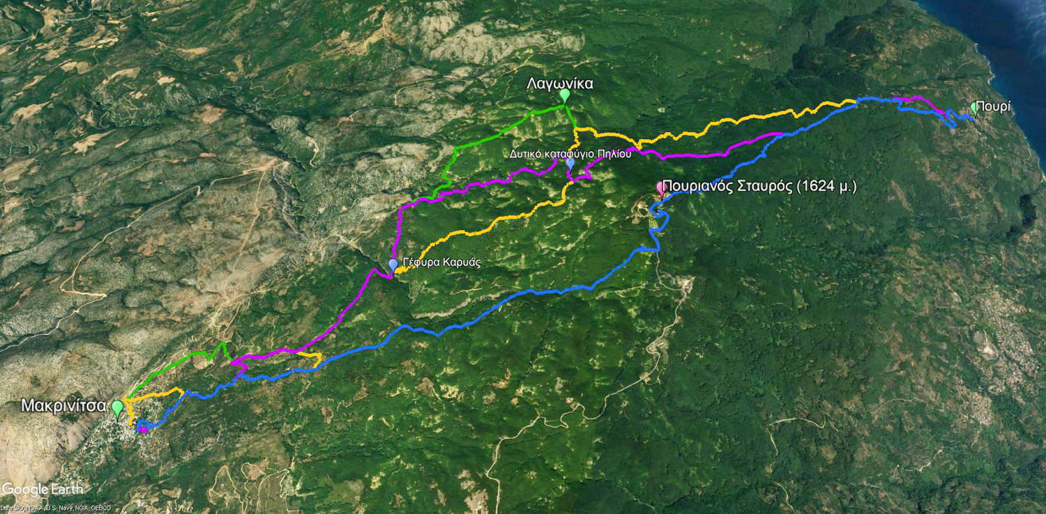
Orange: Makrinitsa-Pouri via the Kapsales
Green: Makrinitsa-Pouri via the Lagonika
Blue: Pouri-Makrinitsa via the Pourianos Stavros summit
Purple: Makrinitsa-Pouri via the Western bivouac
Click to enlarge
Orange: Makrinitsa-Pouri via the Kapsales
Green: Makrinitsa-Pouri via the Lagonika
Blue: Pouri-Makrinitsa via the Pourianos Stavros summit
Purple: Makrinitsa-Pouri via the Western bivouac
The Makrinitsa-Pouri route from Kapsale is the middle of the four known connections between Makrinitsa and Pouri. Plotted on the map, it seems shorter, however it has exactly the same length as the route from Lagonika, with the only difference that it passes 200 m higher.
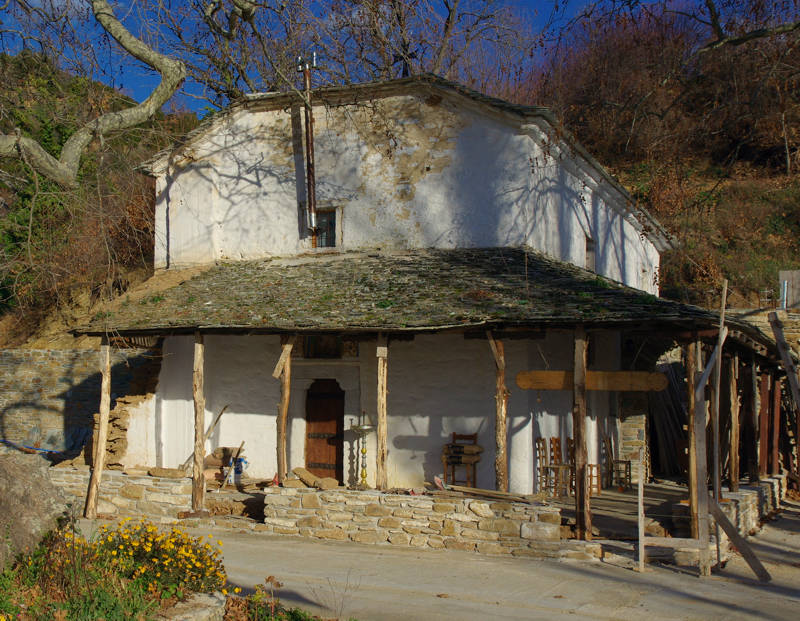
The church of Agia Paraskevi
has been built as the katholikon of old monastery
We start at the parking area of Brani, ate the eastern entrance of Makrinitsa. Soon, the road takes us to the nice cobbled street, which goes uphill and exits the village. After we pass in front of two fountains, we meet a dirt road. This road runs towards the old monastery of Agia Paraskevi, where we will see another beautiful stone fountain and the remains of the auxiliary buildings.
We continue, for a litle while, to walk on the dirt road, when we pass a bend of the road leading us to another trail section. Very soon, another dirt road shows us the cobbled path which we should follow. We now go uphill, under the canopy of a nice chestnut forest towards the area called Kapsales. The road passes through the deep ravine of Kaliakouda (or Xirias stream) and we cross it over the stone bridge of Karya (built in 1934).
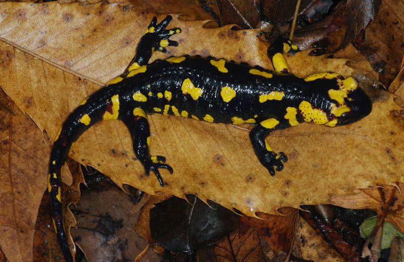
Salamander (Salamandra salamandra)
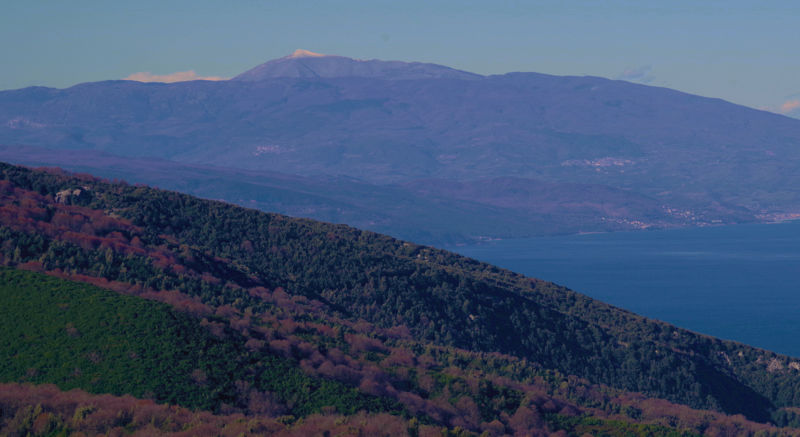
Mt Kissavos, from the Agia Marina chapel
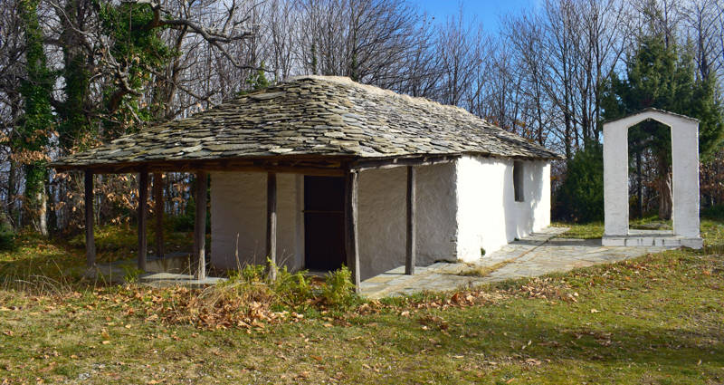
The chapel of Profitis Ilias
Text and photos: T. Adamakopoulos
Marking-Warnings
The trail to road ratio is also similar to the rtail via Lagonika. Like the other connections between Makrinitsa and Pouri, this is a long crossing (18.2 km), which requires the relevant conditions in terms of physical condition, equipment, supplies and weather conditions.

topoguide Greece
GUIDES TO MT PELION
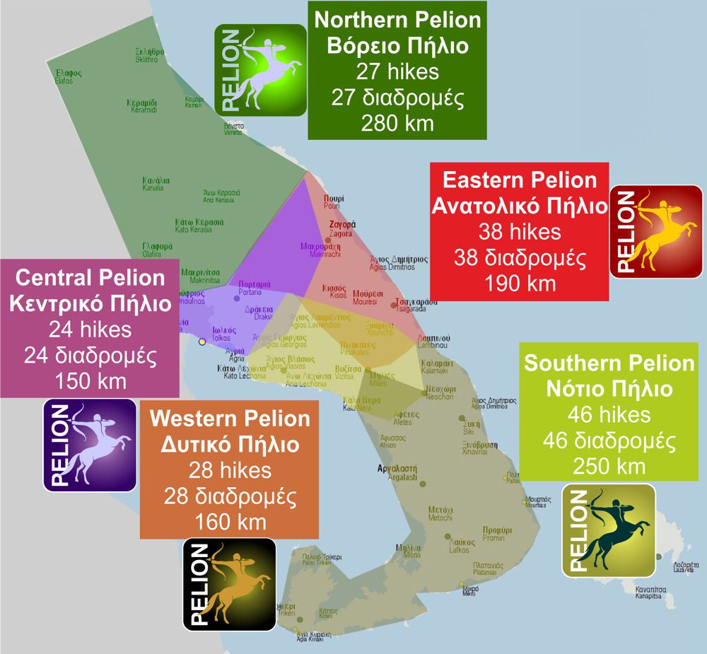
North Pelion topoguide is available for Android devices along with dozens of guides of other regions of Greece, within the hiking application topoguide Greece. Get North Pelion topoguide as an in-app purchase through the application.
North Pelion topoguide is also available for iOS (iPhone και iPad) devices within the hiking application Topoguide Greece. Get the North Pelion topoguide as an in-app purchase via the application.
North Pelion is a member of the Central Greece topoguides group.
It is very interesting that topoguide Greece has the ability to simultaneously display many areas, thus allowing the overall view of the detailed map of the whole of Mt Pelion and the easy alternation of the routes, the Points Of Interest and the dozens of pages of the guide with the countless photos.

