Glafyra-Kato Kerasia
North Pelion
Glafyra-Kato Kerasia
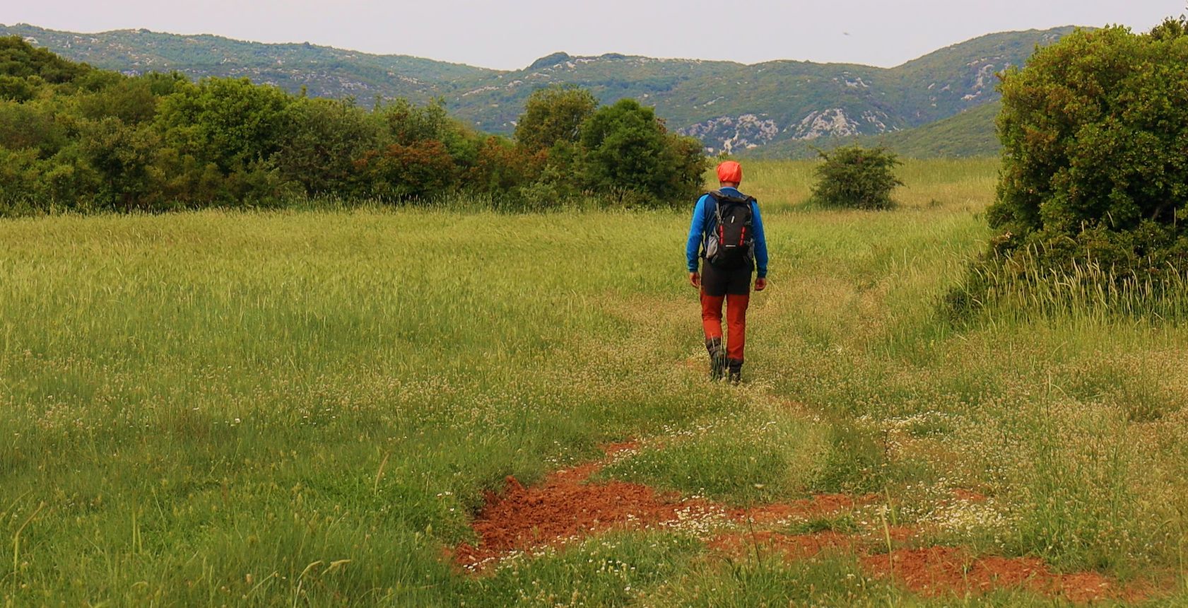
North Pelion topoguide: On the Glafyra-Kato Kerasia trail
Click to enlarge
Click to enlarge
×
![North Pelion topoguide: On the Glafyra-Kato Kerasia trail North Pelion topoguide: On the Glafyra-Kato Kerasia trail]()
North Pelion topoguide:
On the Glafyra-Kato Kerasia trail
On the Glafyra-Kato Kerasia trail
The Glafyra - Kato Kerasia trail follows the old path, which in turn follows the shortest and most passable axis between the two villages.
Our starting point is in Glafyra village square, from where we walk on the asphalt road to Kato Kerasia. Soon we follow a rural road that ascends to the Metochi plateau.
The dirt road ends in the middle of the plateau. Having on our right the Metochi hill (475 m.), we reach the end of the flat area and enter a well-trodden dirt path, which traverses a stony slope. To our left we can see the SE end of Lake Karla and the village of Kanalia.

North Pelion topoguide: On the Glafyra-Kato Kerasia trail
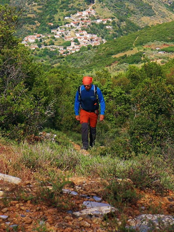
North Pelion topoguide: Φτάνοντας απέναντι από την Κάτω Κερασιά
Text and photos: T. Adamakopoulos
Marking-Warnings
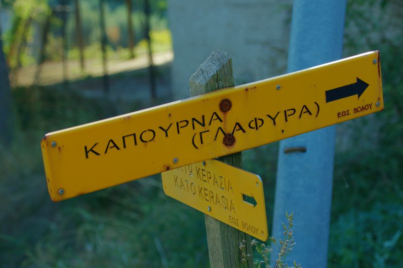
In general, the trail is clear and obvious, however the annual growth of vegetation constantly threatens its walkability. A pruner will not look useless.
The whole route is relatively well marked with red markings. There are also some direction signs.
The whole route is relatively well marked with red markings. There are also some direction signs.

topoguide Greece
GUIDES TO MT PELION
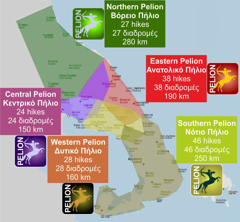
Decriptions, mapping, photos and metrics for the Glafyra-Kato Kerassia route are included in the guide North Pelion topoguide, created by AnaDigit.
North Pelion topoguide is available for Android devices along with dozens of guides of other regions of Greece, within the hiking application topoguide Greece. Get North Pelion topoguide as an in-app purchase through the application.
North Pelion topoguide is also available for iOS (iPhone και iPad) devices within the hiking application Topoguide Greece. Get the North Pelion topoguide as an in-app purchase via the application.
North Pelion is a member of the Central Greece topoguides group.
It is very interesting that topoguide Greece has the ability to simultaneously display many areas, thus allowing the overall view of the detailed map of the whole of Mt Pelion and the easy alternation of the routes, the Points Of Interest and the dozens of pages of the guide with the countless photos.

