Valia Kalda: Vovousa-Avgo
Macedonia: Valia Kalda
Trail Vovousa-Avgo
The ascent from Vovousa to Ango summit is a very helpful route, as it allows us to enter directly in the area of Valia Kalda.
We start from Vovousa and either from Ultra Ursa Trail marking, either from narrow roads, we reach the upper part of the settlement. From now on we follow the old path that now bears the marking of Ultra Ursa Trail. After a first part in clear path, we meet a dirt road, following it for 200 m. After a small section of path, we meet again an old forest road and follow it for a while. The road becomes narrower, like a path, and finally via an even more narrow path we reach a dirt road.
We follow uphill the road for just 100 m. and enter a vague path, steadily ascending a quite steep and strenuous ridge. After an elevation difference of 480 m we reach a milder field. The path is clearer here and goes round under a bare ridge. We pass the old Toskas fountain and reach a ledge, north of the summit. From here we follow this northern ridge of the summit.
In the first part of the ridge the path is not clear, but thanks to the marking we can detect the maneuvers on the steep slope. We step to plateaus, decorated by the typical glacier reliefs of the plutonic rocks of Pindhos. We cross a series of basins and reach at the base of the peak, in which we ascend via a good path with maneuvers.
Once we reach the top, we should not forget that we should avoid the fire lookout tower during bad weather, as it attracts thunders as a lightning rod.
Waymarking
Signposts and markings

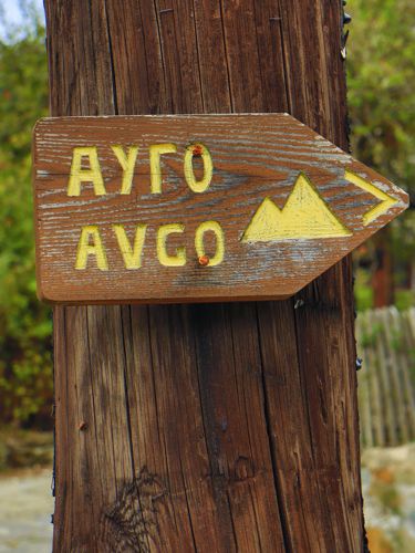
There is a wooden signost in Vovousa, pointing the beginning of the trail.
Most of the lenght of the trail is a part of the Ursa Trail running event and is marked with the relevant signs. There are also some red marks, the remains of an older waymarking project.

topoguide Greece
The trails of Valia Kalda
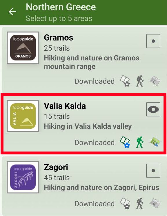
The digital field guide Valia Kalda topoguide is available for Android devices as an in-app purchase within the application topoguide Greece. Valia Kalda is a member of the North Greece group.
Valia Kalda topoguide is also available as an in-app-purchase for iOS & iPad devices via the global hiking app Topoguide Greece app. There again, Valia Kalda topoguide is a member of the North Greece group.
Valia Kalda topoguide includes an extended introduction on the geography, the nature and the history of the area.
The app includes also data, photos, POIs and descriptions for these hiking routes. Once in the field, the application identifies the nearest routes and offers the user active navigation.


