Valia Kalda: Perivoli-Avgo
Macedonia: Valia Kalda
Trail Perivoli-Avgo
Of the two routes leading to Avgo summit, the ascent from Stani Tiza (the large saddle between Avgo and the lower rises of Vasilitsa, from where Perivoli-Vovousa road passes) is the shortest and the most popular.
The route starts from the saddle, where the pen ('stani' in Greek) of Tizas used to occur and today two large stables operate. Depending on the conditions (snow, fog etc.) the hiker may follow the dirt road or try to detect the shortcuts of the unclear trails opened by livestock. The overall routing is easily spotted. During the period when the breeders somewhat maintain the dirt road, a small group with a 4-wheel drive vehicle may be forwarded up to the plateau at the end of the road.
From the plateau, we take a clear path going downhill to the spring for a while and then ascending up to an open col, like a meadow. Here, just before the old fountain of Toskas, we will meet the very good marking of Ultra Ursa Trail, which accompanies us up to the summit.
The path is not clear at first, but thanks to the marking we can discern the maneuvers on the steep slope. We step to plateaus, decorated by the typical glacier reliefs of the plutonic rocks of Pindhos. We cross a series of basins and reach at the base of the peak, in which we ascend via a good path with maneuvers. The fire lookout tower right atop can provide some protection, but we should NOT approach it when there is risk of thunders, as it is the sole building of the area and it attracts them, exposing anyone being inside it into high risk.

topoguide Greece
The trails of Valia Kalda
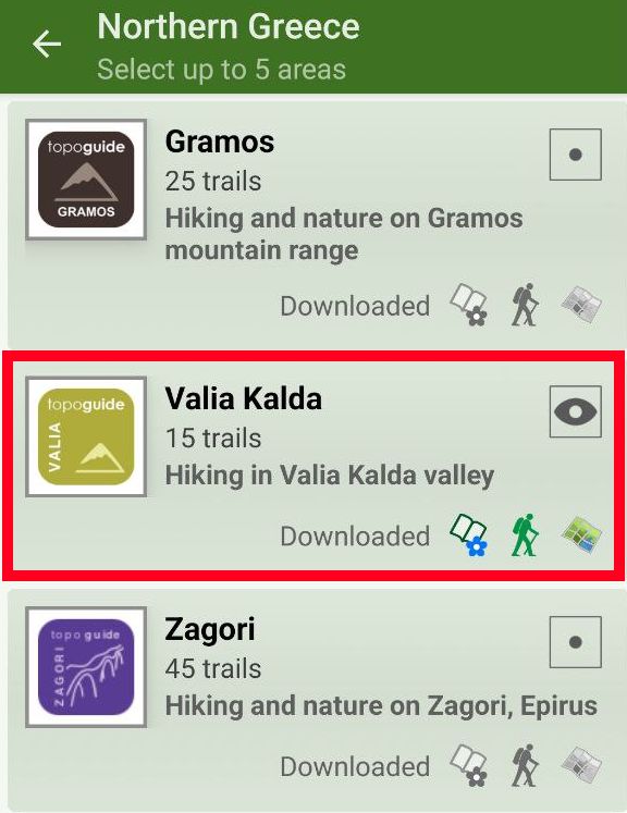
The digital field guide Valia Kalda topoguide is available for Android devices as an in-app purchase within the application topoguide Greece. Valia Kalda is a member of the North Greece group.
Valia Kalda topoguide is also available as an in-app-purchase for iOS & iPad devices via the global hiking app Topoguide Greece app. There again, Valia Kalda topoguide is a member of the North Greece group.
Valia Kalda topoguide includes an extended introduction on the geography, the nature and the history of the area.
The app includes also data, photos, POIs and descriptions for these hiking routes. Once in the field, the application identifies the nearest routes and offers the user active navigation.


