Valia Kalda: Salatoura Stavrou-Avgo
Macedonia: Valia Kalda
Trail Salatoura Stavrou-Avgo
In the past, the ascent from Salatoura Stavrou to Avgo summit of Valia Kalda followed a series of hardly maintained paths, which would have been completely lost if they hadn't been integrated in the great mountainous race Ultra Ursa Trail.
We start from the col of Stavros and descend for 700 m the dirt road to our right (leading to Valia Kalda). We meet Ultra Ursa Trail marking and follow it in the opposite direction, that is we ascend an unclear but well marked trail passing near beech thickets and reaches the bulky and locally rocky SE ridge of Avgo.
After the ascend of the steep ridge, we see below and fairly close to us the large Lakkos Avgou. We move on a smoother field and passing lower of Pantelouka summit we reach the ridge, south of Avgo summit. The racing route of Ultra Ursa Trail ascends to the top from a particularly steep slope, the hiker, however, may cross the plain meadow to the east of the summit and enjoy the nice maneuvers of the final section of the route.
Once we reach the top, we should not forget that we should avoid the fire lookout tower during bad weather, as it attracts thunders as a lightning rod.

topoguide Greece
The trails of Valia Kalda
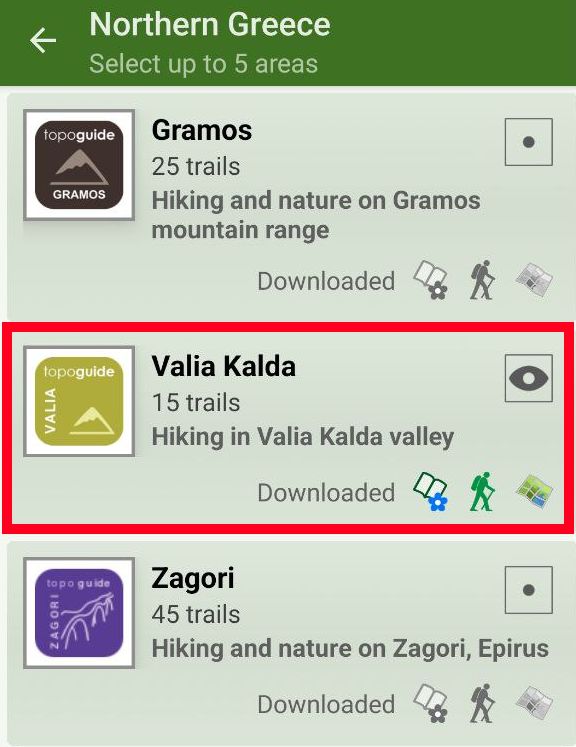
The digital field guide Valia Kalda topoguide is available for Android devices as an in-app purchase within the application topoguide Greece. Valia Kalda is a member of the North Greece group.
Valia Kalda topoguide is also available as an in-app-purchase for iOS & iPad devices via the global hiking app Topoguide Greece app. There again, Valia Kalda topoguide is a member of the North Greece group.
Valia Kalda topoguide includes an extended introduction on the geography, the nature and the history of the area.
The app includes also data, photos, POIs and descriptions for these hiking routes. Once in the field, the application identifies the nearest routes and offers the user active navigation.


