Hiking in Valia Kalda
Hiking in Valia Kalda
Valia Kalda offers an extensive but somewhat stiff hiking field. First of all, villages lie away from the valley and the peaks, and in fact Valia Kalda is accessed by road. The only course that may start from a village is Milia-Salatoura Milias route (marked as E6 trail and Ultra Ursa Trail). From Salatoura Milias one can continue on the routes Salatoura Milia-Kaniza summit or Salatoura Milias-Flega summit and reach the summits of Milia Mountain or Flega, respectively. These two courses, as well as the ascent Salatoura Stavrou-Baltses, even though they do not have either marking or clear path, are very interesting in aesthetic terms and give generously the feeling of wandering in the montane steppe of Pindhos.
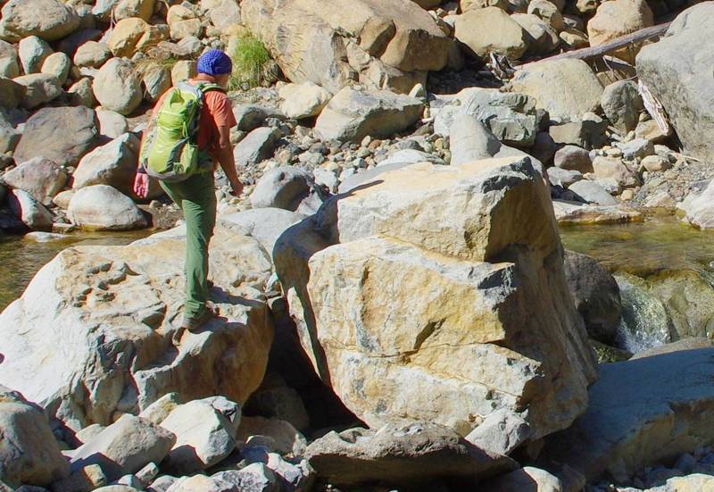
Crossing Arkoudorema
The second “fractious” feature of hiking in Valia Kalda is that only few courses start from the center of the valley, the meadows where all tend to reach and camp. The most important route related to the core of the valley is Arkoudorema crossing, that is the connection with Vovousa, a fabulous route offering increased adventure – river crossings, screes, wild scenery – on a well trodden and marked path (E6 signs an in a large part with Epirus Trail και Ultra Ursa Trail signs).
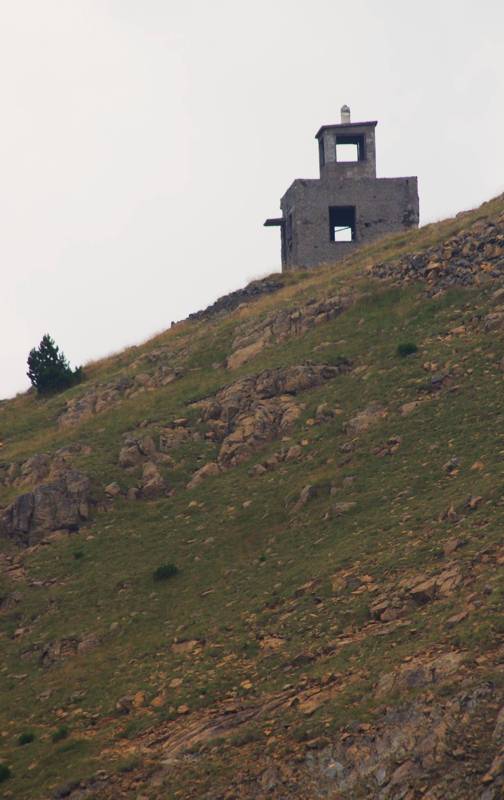
Avgo summit and the fire lookout tower
As regards the ascent to Avgo, most courses start from Perivoli col (Stani Tiza-Avgo), largely utilizing the dirt road, but with nice view (here, only the last section benefits from Ultra Ursa Trail marking).
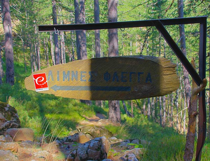
Marking in Arkoudolakkos-Arkoudorema junction
All in all, the most complete ascent to the summits starts outside of Valia Kalda: it is the route Politses-Mavrovouni refuge-Flega summit, starting from the perimetric road of Aoos Springs reservoir and with relatively limited development leading to the most interesting top of the complex, Flega (the entire route is perfectly marked with Ultra Ursa Trail signs).
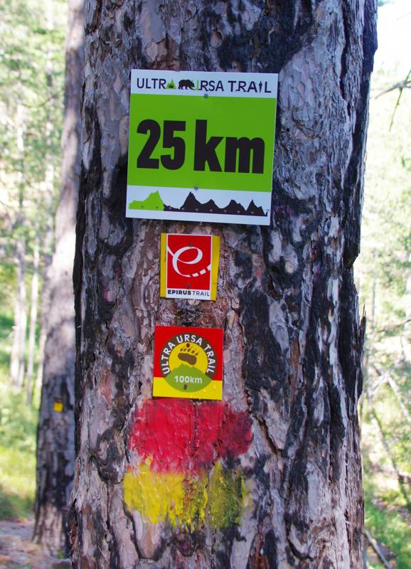
Abundance of waymarking on the common course of E6, Epirus Trail and Ultra Ursa Trail
Ε6 European Trail crosses Valia Kalda area. We have divided the distance between Vovousa and Metsovo in three routes, which can be considered as three daily sections: from Vovousa to the core of Valia Kalda, from Valia Kalda to Milia and from Milia to Metsovo.
Text and photos: T. Adamakopoulos

topoguide Greece
The trails of Valia Kalda
The digital field guide Valia Kalda topoguide is available for Android devices as an in-app purchase within the application topoguide Greece. Valia Kalda is a member of the North Greece group.
Valia Kalda topoguide is also available as an in-app-purchase for iOS & iPad devices via the global hiking app Topoguide Greece app. There again, Valia Kalda topoguide is a member of the North Greece group.
Valia Kalda topoguide includes an extended introduction on the geography, the nature and the history of the area.
The app includes also data, photos, POIs and descriptions for these hiking routes. Once in the field, the application identifies the nearest routes and offers the user active navigation.
