Discover Valia Kalda
Discover Valia Kalda
An overview
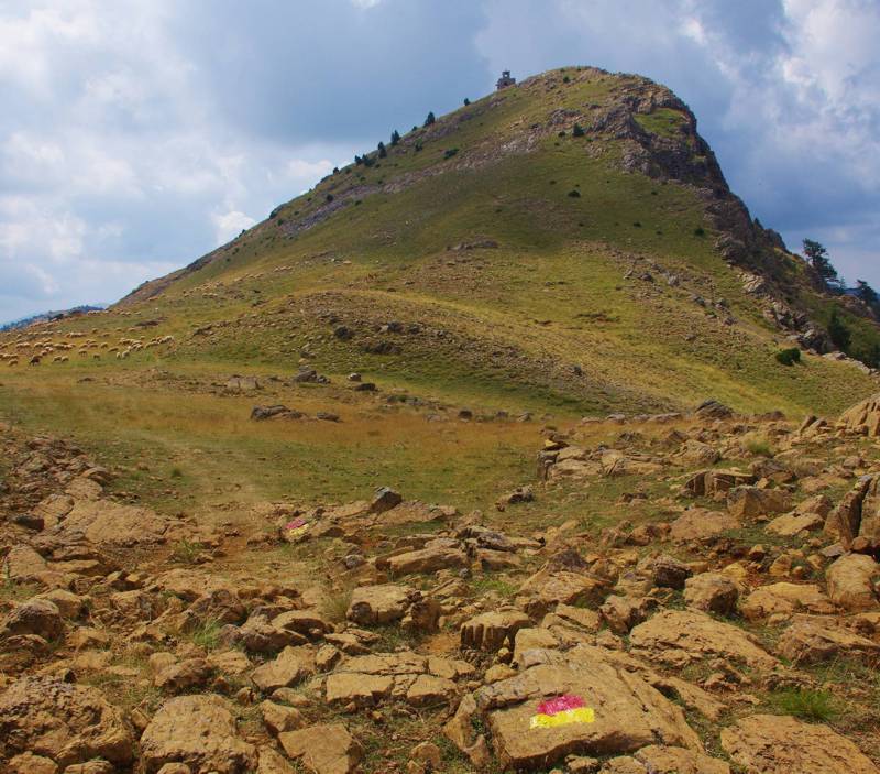
Avgo peak
Valia Kalda valley (in the of Latin origin idiom of Vlachs inhabitants of the surrounding villages Valia Kalda means "Warm Valley") is a deep and relatively enclosed valley of Northern Pindhos. Arkoudorema stream, springing from the center of the valley, is the main tributary of the upper flow of Aoos river.
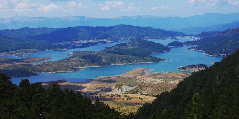
The perimeter of Valia Kalda is defined by the villages of Vovousa, Perivoli, Milia, Krania and Mikrolivado, while the closest town is Metsovo.
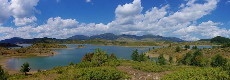
Mavrovouni, as seen from Aoos Springs reservoir
The entire valley has been declared as Pindhos National Park. The National Park was founded in 1966 and covers an area of 68.8 sq.kms, 33.5 sq.kms of which constitute the core and the remaining 35.2 sq.kms the peripheral zone. Today it is a part of the lager Northern Pindhos National Park.
Hiking in Valia Kalda
The road network accessing Valia Kalda starts from the villages of Milia, Krania and Perivoli and consists of dirt roads of medocre passability. In the winter these roads are closed due to snow cover.
Routes to the summits of Valia Kalda and Arkoudorema
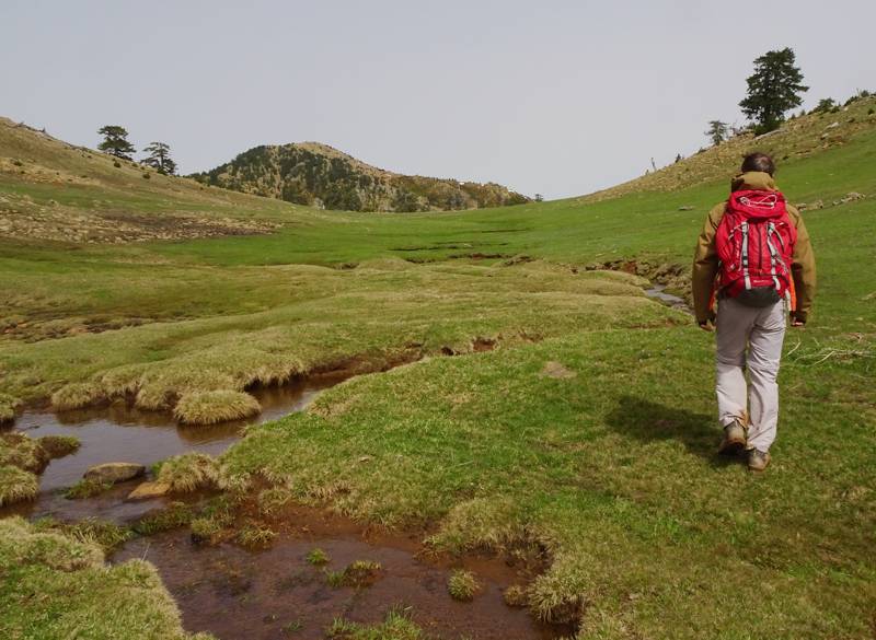
On Mt Mavrovouni crestline
The hiking routes leading to Valia Kalda summits and Arkoudorema start either form the three entrance cols (Salatoura Stavrou from Perivoli, Slaatoura Papagianni from Krania and Salatoura Milias from Milia), or from the center of the valley, or finally from Milia and Vovousa. A large part of the ascents to Flega and Avgo peaks have been included in the route of Ultra Ursa Trail and benefits from the improvement of passability and marking of this popular mountain run race.
More ...
Ε6 European Trail
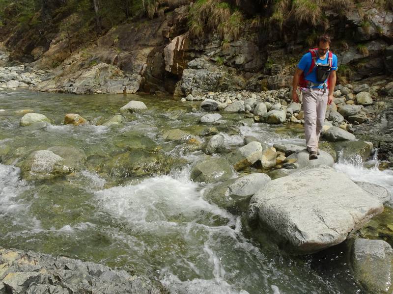
European Trail E6 crosses the Valia Kalda valley
In its course from Igoumenitsa to the eastern borders of the country, Ε6 European Trail passes by Valia Kalda area. More specifically, three daily sections cross the valley and the surrounding area, from Vovousa up to Metsovo.
More ...
"Pichtio" network
Municipality of Metsovo and the local naturalists club “Kolakis Pichtos” designed and planned a network of seven long hiking routes. Three of these routes cross Valia Kalda area. The routes were originally marked with orange square signs on iron poles, bearing the characteristic name of each route.
More ...
"Katafygio Valia Kalda" hostel
Valia Kalda refuge is situated in Lariani locality, 3 kms before the village of Vovousa. It can host up to 50 people, while it also has reception areas and large dining room that can serve up to 100 persons. Infromation: tel. 26510.29445, 26510.22226 and 26560.22200.
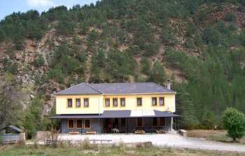
"Katafygio Valia Kalda" hostel
Mavrovouni refuge
At Kokkini Vrysi locality and at an elevation of 1950 m the stone-built the Mavrovouni mountain refuge of Municipality of Metsovo lies. It can host up to 30 persons and provides water, kitchen and cooking utensils. For accommodation, please communicate with the manager of the refuge in Metsovo in tel. 26560 41207.
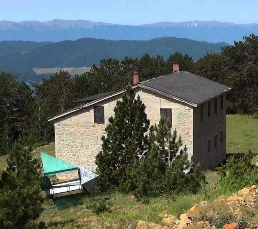
Mavrovouni refuge
Text and photos: T. Adamakopoulos

topoguide Greece
Discover Valia Kalda area
The digital field guide Valia Kalda topoguide is available for Android devices as an in-app purchase within the application topoguide Greece. Valia Kalda is a member of the North Greece group.
Valia Kalda topoguide is also available as an in-app-purchase for iOS & iPad devices via the global hiking app Topoguide Greece app. There again, Valia Kalda topoguide is a member of the North Greece group.
Valia Kalda topoguide includes an extended introduction on the geography, the nature and the history of the area.
The app includes also data, photos, POIs and descriptions of 18 hiking routes. Once in the field, the application identifies the nearest routes and offers the user active navigation.
