Valia Kalda: Salatoura Milias-Kaniza peak
Macedonia: Valia Kalda
Trail Salatoura Milias-Kaniza peak
The ascent to Milia from Salatoura Milias is short and without particular difficulties, as an old dirt road allows us to bypass the steep western edge of the summit and easily access the southern side where there is a recession serving the course. In fact, this is the old trail of livestock movimg from Salatoura Milias to the meadows and the ponds of the summit. The trail was already hardly etched on the rocky terrain and is totally lost today, since it has been abandoned since ages. The navigation of the app, however, will guide you safely on the old trace, following the best routing through a not very friendly field.
We start from Salatoura Milias and walk on the old dirt road and after 1.6 km, in a distinct gully with some water, we meet two red marks. This is the only marking of the route: from here after, rely on the application, choosing always the easiest zone. After the first slope we reach a ridge and take a relatively clear path bypassing the summit from the western side. We reach meadows, from where we easily access the top. From here, as well as from the meadows lower, we have excellent view towards Valia Kalda, Gamila and Smolikas.

topoguide Greece
The trails of Valia Kalda
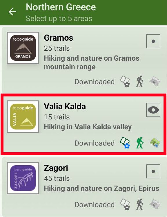
The digital field guide Valia Kalda topoguide is available for Android devices as an in-app purchase within the application topoguide Greece. Valia Kalda is a member of the North Greece group.
Valia Kalda topoguide is also available as an in-app-purchase for iOS & iPad devices via the global hiking app Topoguide Greece app. There again, Valia Kalda topoguide is a member of the North Greece group.
Valia Kalda topoguide includes an extended introduction on the geography, the nature and the history of the area.
The app includes also data, photos, POIs and descriptions for these hiking routes. Once in the field, the application identifies the nearest routes and offers the user active navigation.


