Map of Parnitha and POIs
Map of Parnitha
Points of Interest

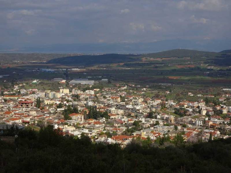
Parnitha topoguide: The town of Avlonas
This topoguide map is composed of 18 zoom levels, going down to 1:2,500 scale. Across the more than 20 thematic layers of the map, you will find:
- All the towns and villages.
- More than 500 km of paths.
- All road network, down to abandoned roads.
- More than 300 placenames.
- All churches and chapels and monasteries of the area.
- All the ancient and byzantine monuments.
- All springs and fountains.
- All caves and potholes.
Parnitha topoguide includes also an extented guidebook on the geography, the nature and the history of the area and offers active guidance along the trails.
Points of Interest (POIs)
Parnitha topoguide includes

topoguide Greece
A complete guide
to Mt Parnitha

The map of Mt Parnitha hosted in this page, makes also part of the hiking application Parnitha topoguide.
Parnitha topoguide is available for Android devices as one of the dozens of available region of Greece via the topoguide Greece application. Mt Parnitha is a member of the Attica group. Get the Parnitha guide as an in-app purchase through the app.
Parnitha topoguide is also available for iOS (iPhone & iPad) devices via the application Topoguide Greece. Get the Parnitha guide as an in-app purchase through the app, found in the Attica group.
topoguide Greece offers active navigation along the trails, as well as a comprehensive guide to the geography, the nature and the culture of the area.

