Hiking on Mt Parnitha
Hiking on Mt Parnitha

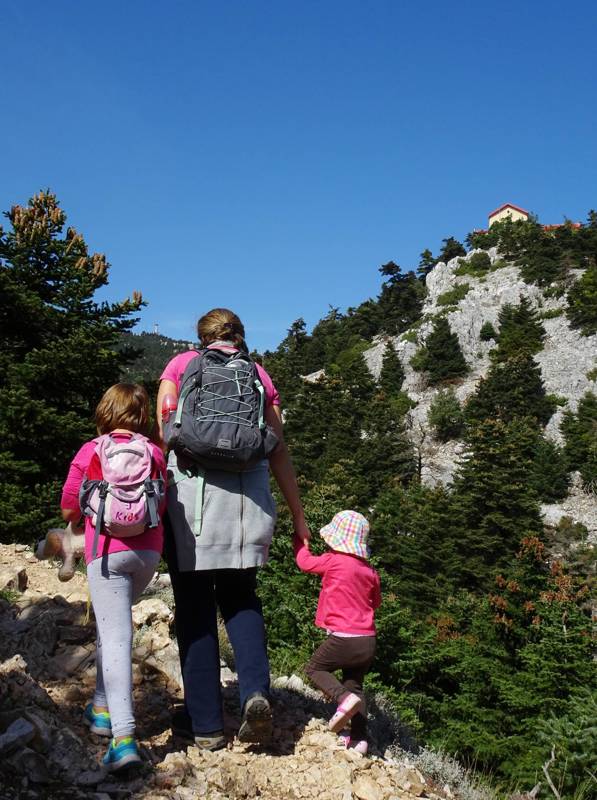
Mt Parnitha offers the richest hiking network from all the mountains of Attica. Every weekend, dozens of hikers run the popular routes on the southern side, while more experienced mountaineers are still exploring the relatively more unknown areas of Northern Parnitha.
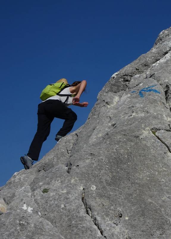
Much of the mountain trails were way marked based on a color key. Part of this network has lost its beauty - and often the markings - during the recent wild fires, but the systematic use of paths keeps them open and clear.
Ideal for a day trip or for a longer break, Mt Parnitha offers two guarded mountain refuges, the Bafi shelter and the Flambouri shelter.

The most popular hiking route is along Chouni ravine, the direct trail from Thrakomakedones to the Bafi shelter. Many of the trips can be served by the Parnitha casino cable car.
Text and photos: T. Adamakopoulos

topoguide Greece
A complete guide
to Mt Parnitha

Parnitha topoguide is available for Android devices as one of the dozens of available region of Greece via the topoguide Greece application. Mt Parnitha is a member of the Attica group. Get the Parnitha guide as an in-app purchase through the app.
Parnitha topoguide is also available for iOS (iPhone & iPad) devices via the application Topoguide Greece. Get the Parnitha guide as an in-app purchase through the app, found in the Attica group.
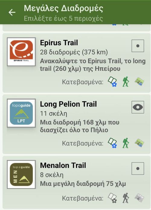
topoguide Greece offers active navigation along the trails, as well as a comprehensive guide to the geography, the nature and the culture of the area.

