Skyros: Chora-Panagia Olybiani
Skyros
Chora-Panagia Olybiani
A long hike that brings up the stock-breeding character of Skyros, as it crosses the mild hilly northern part of the island with the numerous pastures. The route offers several chances for magnificent views of Chora and its surroundings, while in the part near the (built into a cave) chapel of Panagia Lympiani we move under the shade of pines. Return to Chora from the Ferekampos location brings us next to the important spring of Anavalsa, supplying water to Chora, and Kifissos river, the sole river of permanent flow in the island.

topoguide Greece
SKYROS TOPOGUIDE

A detailed description of Chora-Panagia Olybiani is included in the hiking guide Skyros topoguide, created by AnaDigit.
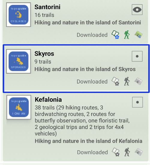
Digital field guide Skyros topoguide is available for Android devices as an in-app purchase within the application topoguide Greece. Skyros topoguide is a member of the Greek Islands group.
Digital field guide Skyros topoguide is also available for iOS (iPhone and iPad) devices as an in-app purchase within the application Topoguide Greece. There also, Skyros topoguide is a member of the Greek Islands group.
Once in the field, the application suggests a list of nearby trails and provides active navigation on the selected one. Along the trail, the app points out the adjacent Points of Interest, and opens the relevant chapter of the guidebook.

