Skyros: Achili-Kochylas
Skyros
Achili-Kochylas
A route which - like the rest leading to the summit of Kochilas - requires deciseveness, patience and strong lungs, as the course on the steep slopes of the mountain is in many places tiring.
The route starts from Achili beach, passes from the chapel of Agios Artemis, built in a protected cave with spectacular view, while the route among the low shrubs covering Kochila includes small relieving sections under the groves with maples and kermes oaks, extending in the ravines and the plain sites of the mountain.
The panoramic view towards the two coasts of the island and the sense of leaving reality cannot be covered in words.

topoguide Greece
SKYROS TOPOGUIDE

A detailed description of Achili-Kochylas is included in the hiking guide Skyros topoguide, created by AnaDigit.
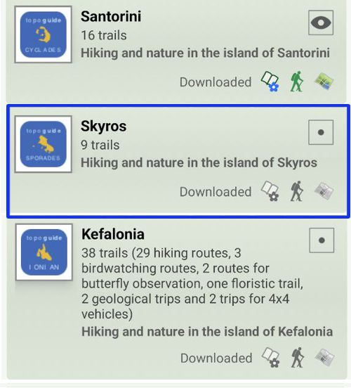
Digital field guide Skyros topoguide is available for Android devices as an in-app purchase within the application topoguide Greece. Skyros topoguide is a member of the Greek Islands group.
Digital field guide Skyros topoguide is also available for iOS (iPhone and iPad) devices as an in-app purchase within the application Topoguide Greece. There also, Skyros topoguide is a member of the Greek Islands group.
Once in the field, the application suggests a list of nearby trails and provides active navigation on the selected one. Along the trail, the app points out the adjacent Points of Interest, and opens the relevant chapter of the guidebook.

