The refuges: Spilios Agapitos refuge via Prionia

The refuges of Mt Olympus

Spilios Agapitos refuge
via Prionia
Mt Olympus topoguide
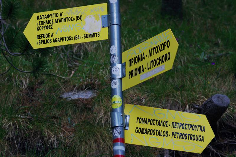
Mt Olympus topoguide: Signposting on the junction to Gomarostalos and Petrostrouga

The main access of the Spilios Agapitos refuge is via Prionia. The trail is part of the E4 Trail and is undoubtedly the most popular route on Mt Olympus. This particular path was the major mule track of Eastern Olympus and maintains the good configuration, with gentle slopes and open maneuvers. Today, its viability has been improved with numerous interventions and there is a relatively dense waymarking, with E4 signs and other symbols, as well as by all the necessary direction signposts.

Mountaineers intending to climb up to the Spilios Agapitos refuge, arrive by car or taxi (~ 30 euros) in Prionia, an old settlement of carpenters who worked on the water saws powered by the springs of Enipeas - hence the place name, "prionia" means the saws. Today Prionia is the most advanced location on Eastern Olympus where a vehicle can go (17.5 km from the center of Litochoro) and is a real hikers station.
Mt Olympus topoguide
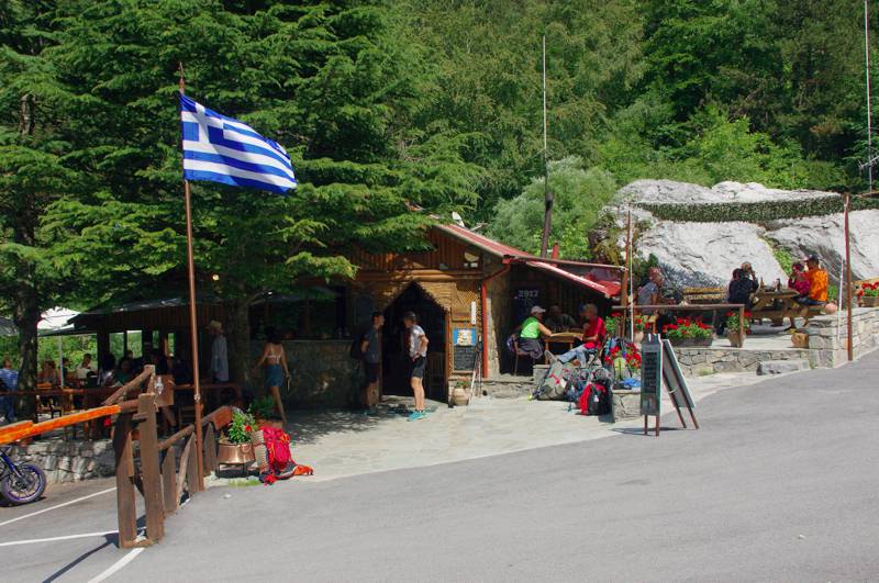
Mt Olympus topoguide: The Prionia location
In Prionia you will find a year-round refreshment shop and restaurant, free car parking, public toilets and a fountain. Several signposts and announcement posts - among them a large post with a hiking map of Mt Olympus - give information about the trails, taxis, emergency telephones, etc.

The route starts with a short paved section. Pass the springs of Enipeas via a solid wooden bridge and ascend smoothly in a shady forest of Black pines and beeches to Pigadouli (distance 1.9 km, 0h45-1h, wooden kiosk, fountain - sometimes does not work).
Mt Olympus topoguide
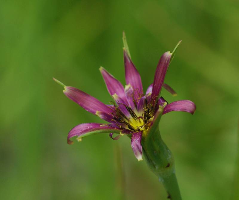
Mt Olympus topoguide: Tragopogon balcanicus
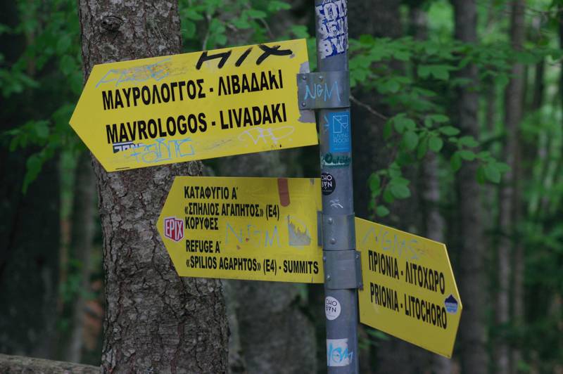
Shortly after the kiosk we meet the branch to Mavrologos and Livadaki. The next section up to Magalias (also 1.9 km, 0h45-1h) is a steady uphill path in a Black pine forest. In Magalias, left to your right hand the fork to Gomarostalos and Petrostrouga, well marked, and continue forward.
Mt Olympus topoguide
Mt Olympus topoguide: The wooden kiosk in Pigadouli
Just after Magalias, climb an open dry ravine and enter the last series of maneuvers (length 1.9 km, 0h45-1h) that will end to the refuge. About half of the length of this section is in a relatively open field, where the relevant precautions for sunlight should be taken.
Mt Olympus topoguide
Mt Olympus topoguide: Signposting at the Mavrologos/Petrostrouga junction
The length of the trail is 5.65 km. The division of the total time span of 2h30-3h into three equal sections helps the hiker, often loaded with enough equipment, to regulate its pace: with one stop at the kiosk (Pigadouli) and a second in the stream (Magalias), one can arrive at the shelter with enough forces for the further organization of his stay (arrangements, setting up a tent) or the continuation towards the Muses Plateau or the peaks.

Elevation profile of the ascent from Prionia to Spilios Agapitos refuge
Mt Olympus topoguide
Elevation profile of the ascent from Prionia to Spilios Agapitos refuge
(Click to enlarge).

Text and photos by Triantafyllos Adamakopoulos

A hiking and mountaineering guide to Mt Olympus

Mt Olympus topoguide

A detailed description of the ascent from Prionia to Spilios Agapitos refuge, with accurate metrics, linked to photos and POIS, is included in the hiking app Mt Olympus topoguide.

Mt Olympus topoguide field guide is available for Android devices via Play Store.

Mt Olympus topoguide is also available for iOS (iPhone και iPad) devices as an in-app purchase via the hiking application Topoguide Greece.

Mt Olympus topoguide field guide offers detailed off-line hiking maps. Once in the terrain, the app provides active navigation along the trail, helping the hiker to stay on route and reach the destination, even under adverse conditions.