Velanidia-German observatory
Hiking in Kyparissi,
Monemvasia, Vatika
and Cape Maleas
Velanidia
German observatory
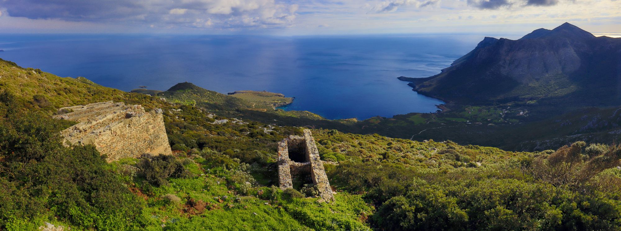
The open view from the German watchtower
(click to enlarge).
The open view from the German watchtower
The exceptional position of Cape Maleas in the network of the Aegean seaways aroused the interest of those who had reasons to supervise the coastal flow of this zone. The place-name "Vigla" and its derivatives indicate the appropriate places, which probably in the past hosted watchtowers and small forts. Windmills mark the least prominent places.
The optical surveillance survived until World War II, before being displaced by radar, satellites and drones. In the last era of this archaic method, the German military forces built several watchtowers to monitor the flow of ships, mainly the sea lines that converged to Piraeus. The most famous stations of the Peloponnese are on Mt Aderes and Cape Maleas.
The ascent from Velanidia to the German watchtower follows the route Velanidia-Agia Marina up to the dirt road on the plateau of Panagia. The route starts from the center of Velanidia and initially follows the small alleys of the village. Soon, the route reaches the junction to the lighthouse of Maleas (route D11 and O33). Continue to the right path and ascend in parallel to a deep ravine.
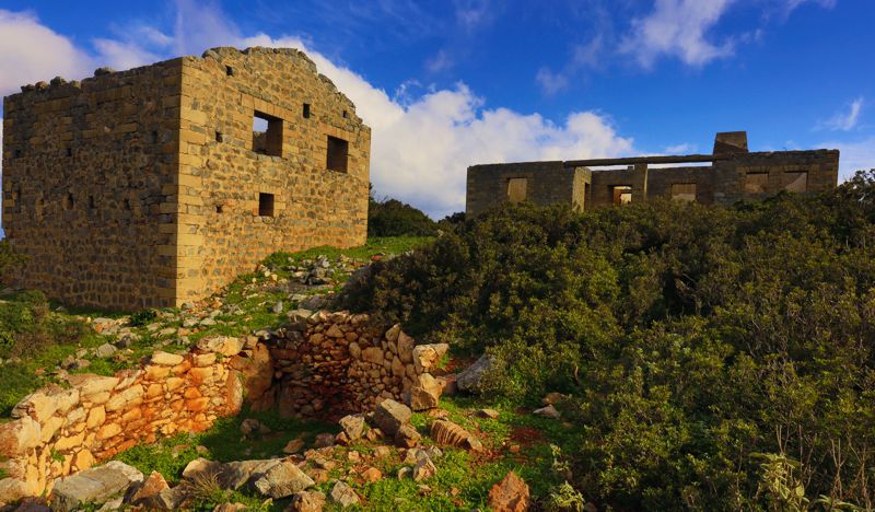
Turn a bit to the left and find the earth path to the watchtower. The path is clear and has a sparse waymarking. The buildings of the German watchtower are obvious and the ascent to the plateau is rather short.
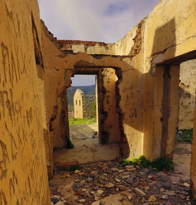
Text and photos: T. Adamakopoulos
Warnings
Viability
From the village to the plateau of Panagia, the path is in fairly good. The final ascent also follows a clear and clean path.
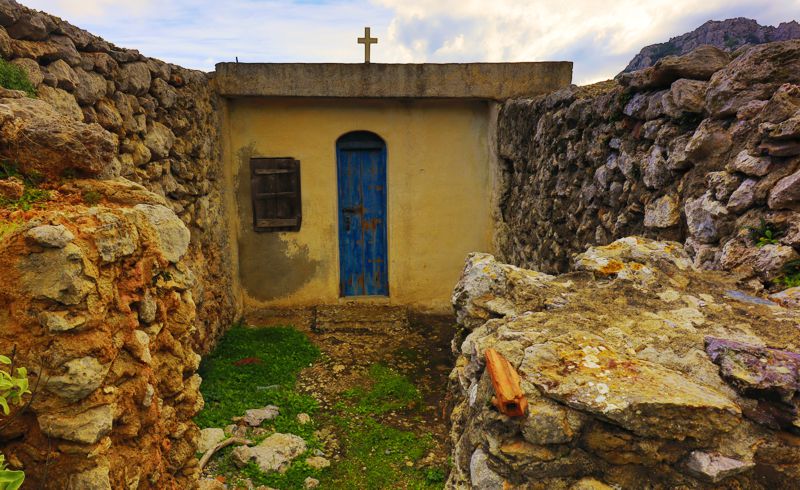
One could reach the plateau of Panagia by car, following the dirt road that serves the chapel of Panagia Dekapentistria and continues to a small meadow with a sheepfold. The dirt road continues to the chapel of Panagia (photo), but it is in very bad condition.
Waymarking
Signposts and marks
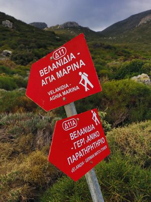
At the start point and at some junctions there are signposts, either with destination indication, or simple signs with direction arrow.
Waymarking, with red marks on the rocks, is fairly consistent.
The water in Maleas area
Watering the livestock
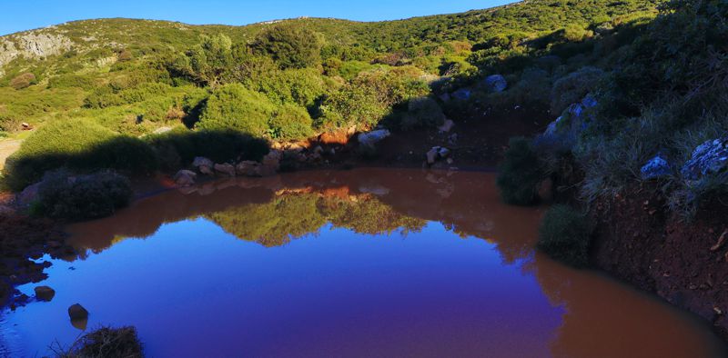
The watering of the livestock is supported by the rain. In Panagia plateau, next to the chapel of Panagia, there is a relatively large rain-collecting water tank, which covered the needs of the anomals, probably as well those of the shepherds themselves.
The abundant terra rossa of the plateau offered another, easy yet temporary, solution: this fine-grained soil is completely impermeable and with a little digging, it was easy to shape shallow but wide ponds, where the rainwater was kept for several days. The ponds we see today near the sheepfold have been created by small earthmoving machines.

