Vytina: trails, history, facilities, routes
Explore Vytina
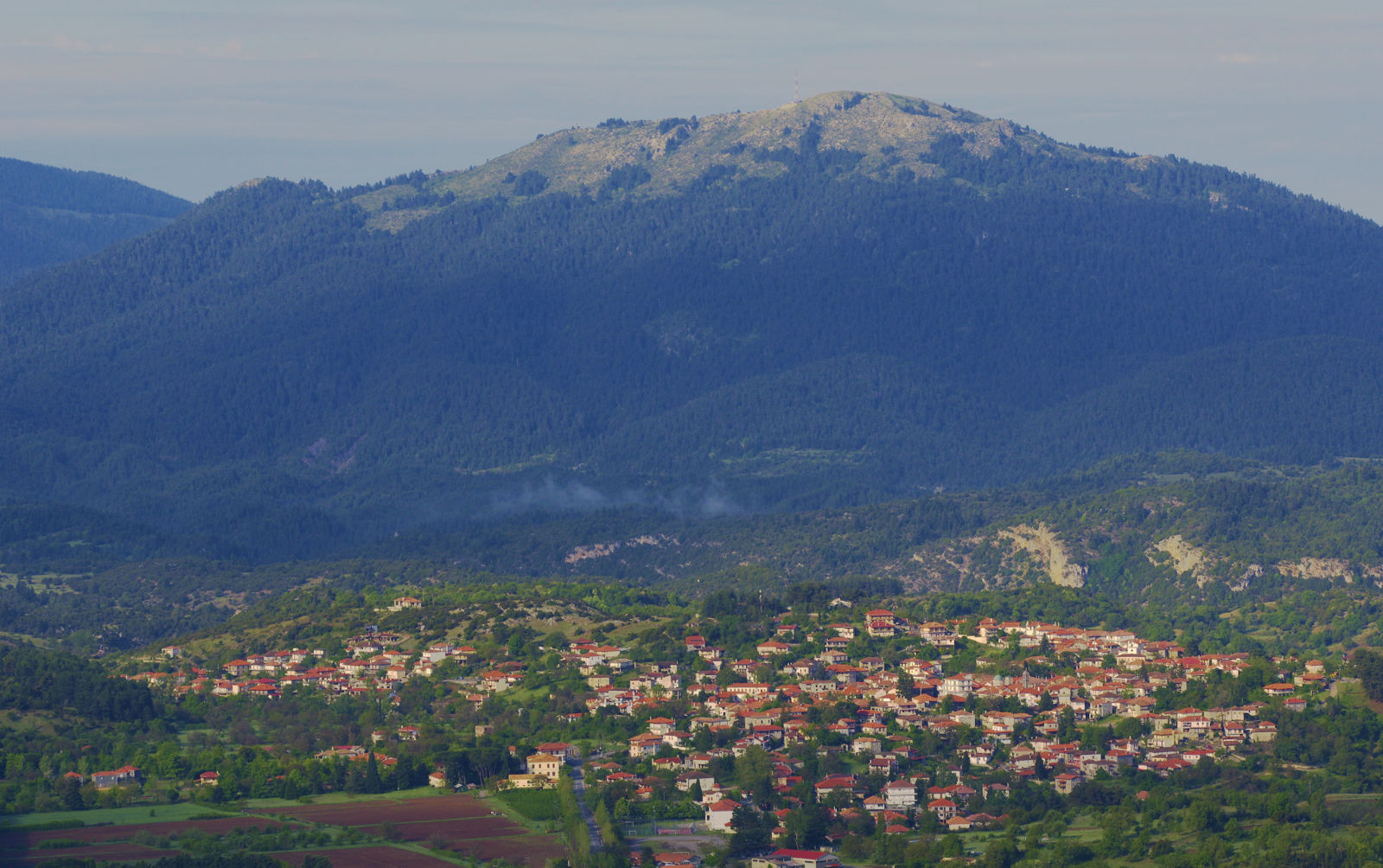
The modern Vytina spreads on the level plateau at the foot of mount Menalon, in an area that used to be a fertile agricultural area. The settlement resulted from the union of previous villages, including Old Vytina and other rural hamlets. Vytina developed such a demographic dynamic it had soon lowland branches in Argolida, Achaia and Ilia.
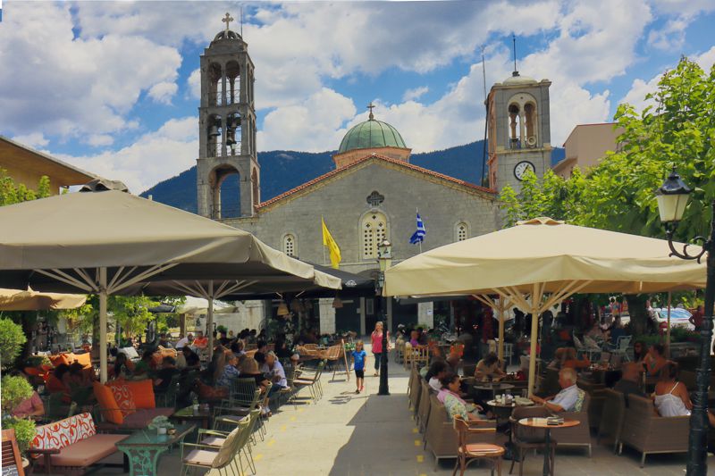
In August, Vytina is filled with locals, natives and visitors in a buzzing atmosphere
Because of this dynamic, but also of its position on the roads networks that developed in the first half of the 20th century, Vytina assumed the role and functions of an enlarged regional hub. The old Sanatorium and the School of Forestry were the forerunners of the mountain resort you see today.
The development of the Ski Center on mount Menalon and the connection with Olympia and Kalavryta strengthened its position within the tourism network of Northern Peloponnese. Other activities flourishing alongside tourism (catering, agricultural production, carpentry, textiles) concentrated and redirected manpower to manufacturing and the service industry, shaping the productive profile of Vytina in the 21st century.
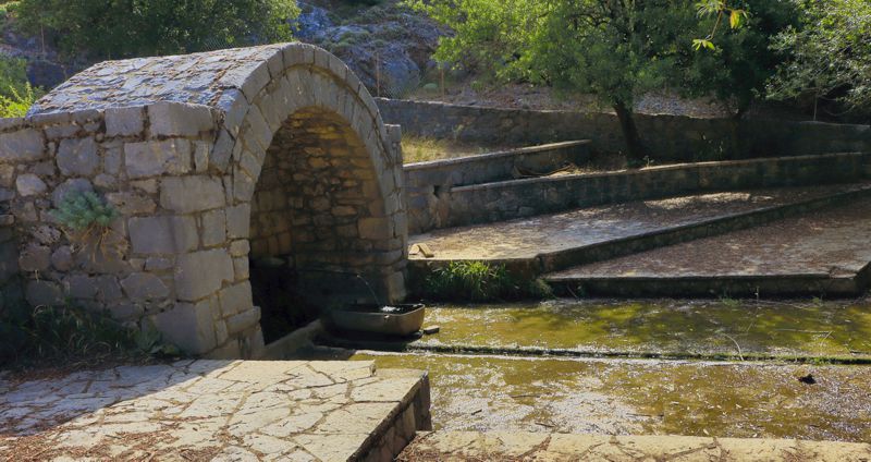
The Artotsi fountain was the main source of water for Vytina, before the major water supply projects from the Methydrion Springs
With over a century of dynamic presence in the heart of Gortynia, Vytina is now a bustling town with remarkable catering and accommodation choices, more than any other town in western Arcadia. An ideal starting point for trips across the Gortynia, this small town has its own cultural identity, as it is the birthplace of remarkable personalities (eg., the historian Constantine Paparrigopoulos).
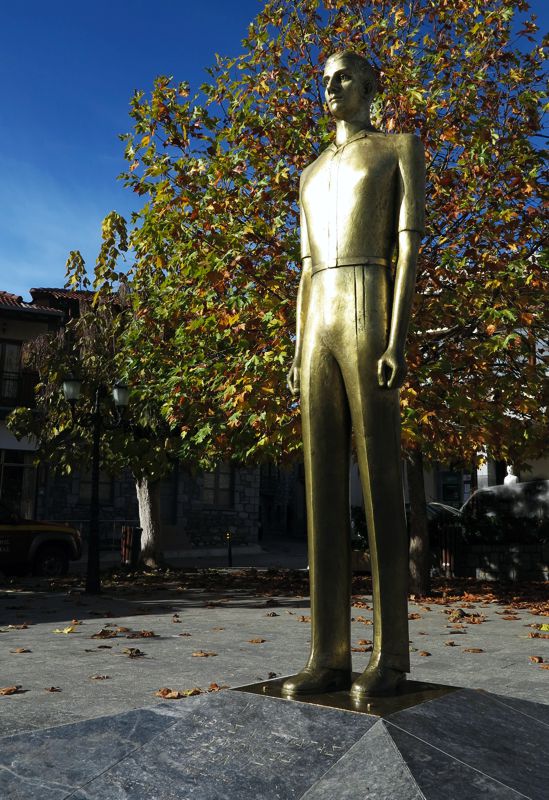
The statue of Mathios Potagas
Moreover the town boast many attractions, such as the stonebuilt church of Agios Tryphon located on the main square, the Municipal Library, the historic "Greek School", the church of Agii Anargyroi (1831), the stone bridges and water mills on the river Mylaon etc.
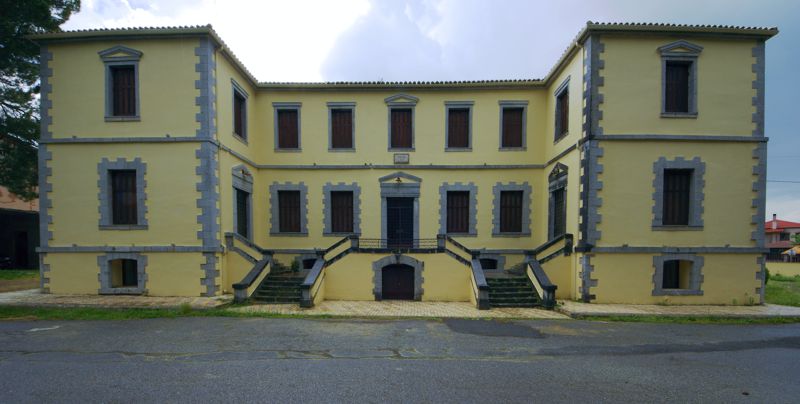
The headquarters of the Triantafyllidio Foundation
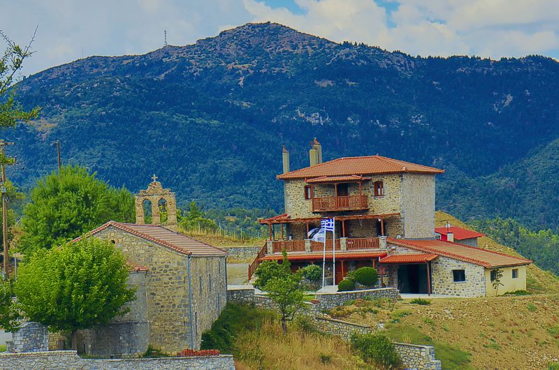
The small settlement of Old Vytina
Hiking around Vytina
Mt Menalon topoguide includes many routes around Vytina. Some of them are circular or short walks, suitables for small groups and families.
Text and photos by T. Adamakopoulos
topoguide Greece
A guide to Mt Menalon
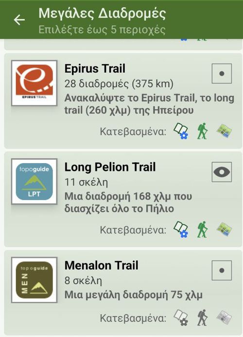
Mt Menalon topoguide is available for Android devices as one of the dozens of available region of Greece via the topoguide Greece application. Mt Menalon topoguide is a member of the Peloponnese group. Get the Mt Menalon guide as an in-app purchase through the app.
Mt Menalon topoguide is also available for iOS (iPhone & iPad) devices via the application Topoguide Greece. Get the Mt Menalon guide as an in-app purchase through the app, found in the Peloponnese group.
topoguide Greece offers active navigation along the trails, as well as a comprehensive guide to the geography, the nature and the culture of the area.


