Dimitsana: trails, history, facilities, routes
Explore Dimitsana
Dimitsana is built on a spacious shoulder, the unique smooth passage of the upper valley of river Lousios, at an altitude of 1000m. The location is ideal and is inhabited since ancient times: in the "Platsa", the outer part of the natural shoulder, sections of isodomic ancient wall are visible between the walls of newer houses, which belonged to the acropolis of ancient Tefthis, the town itself possibly located in the smoother slopes below Dimitsana, towards Palaiochori.
Dimitsana was from the 18th century an important regional commercial center and had, for a period of two centuries, great economic prosperity thanks to the water-powered craft (flour mills, fulling, tanning and gunpowder), pulled by the abundant waters of the valley. Part of watermills and gunpowder mills have been restored in the excellent Open Air Water Power Museum of Dimitsana, located after the exit to the large headspring of Ai-Giorgis, just outside the city. From the late 19th century, the development of industrial methods, the water-powered craft declined and Dimitsana lost its boost, but it remained an important transportation and administrative hub.

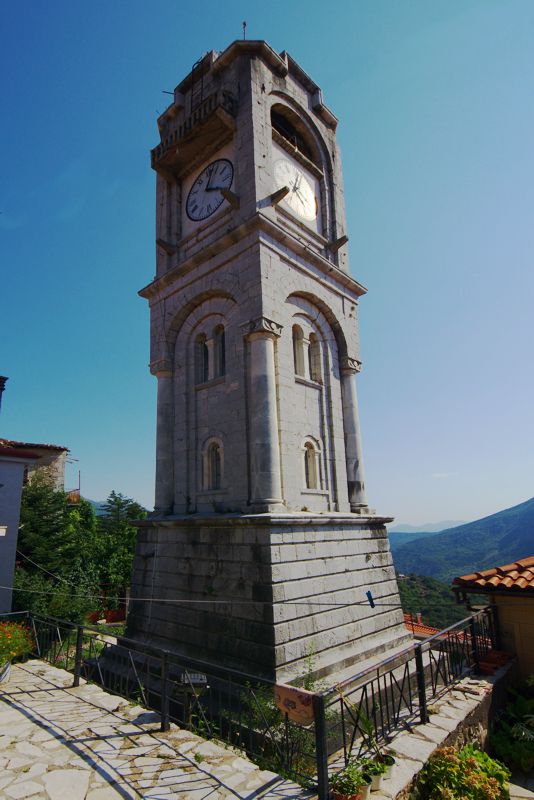
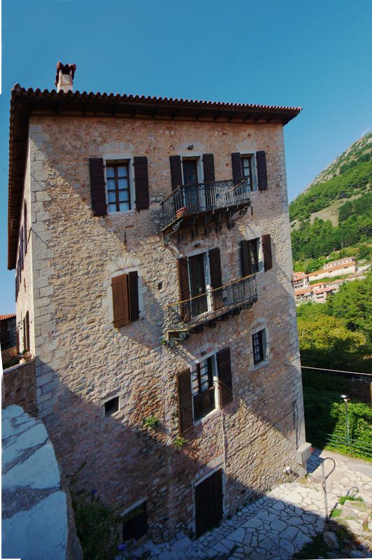
The town itself, protected as a traditional settlement, has many historically or architecturally important buildings and monuments such as: the house of Gregorios the 5th (which has been renovated and now houses the Ecclesiastical Museum), the building of the seminary of Dimitsana (that today houses the Library with over 15,000 volumes, among them rare editions, codes and a vast historical file, plus a folklore collection), the house of Paleon Patron Germanos, the five-storey tower Xeniou (built in 1850 by the raisin trader Constantine Koukouzas) and many more.


The Xenios tower

Agia Kyriaki, the main parish church of Dimitsana
The town is today the administrative and economic center of the region and seat of the municipality of Gortynia. It offers an important catering and accommodation infrastructure and many shops.
Hiking around Dimitsana
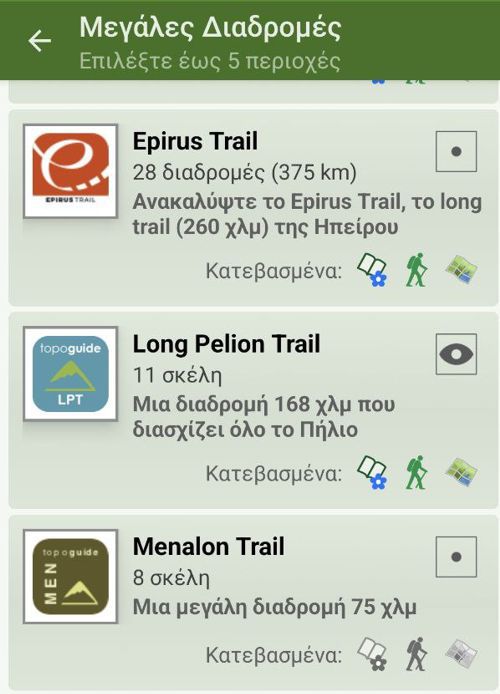
The guide Mt Menalon topoguide includes several hiking routes that start, converge or pass through Dimitsana.
Text and photos by T. Adamakopoulos

topoguide Greece
A guide to Mt Menalon

Mt Menalon topoguide is available for Android devices as one of the dozens of available region of Greece via the topoguide Greece application. Mt Menalon is a member of the Peloponnese group. Get the Mt Menalon guide as an in-app purchase through the app.
Mt Menalon topoguide is also available for iOS (iPhone & iPad) devices via the application Topoguide Greece. Get the Mt Menalon guide as an in-app purchase through the app, found in the Peloponnese group.
topoguide Greece offers active navigation along the trails, as well as a comprehensive guide to the geography, the nature and the culture of the area.


