Kato Kerasia-Makrinitsa
North Pelion
Kato Kerasia-Makrinitsa

Kato Kerasia
The Kato Kerasia-Makrinitsa trail adopts the long route between the crowded and rich Makrinitsa and the rural Kato Kerasia via the isolated settlement of Leschiani.
With a length of 14 km, it is one of the longest hikes in Mt Pelion. The most interesting point of the route is the small agricultural settlement of Leschiani, hosting an old church dedicated to the Virgin.
The route Kato Kerasia-Makrinitsa starts from the center of Kato Kerasia and running on paths and alleys reaches the intersection of a dirt road with the asphalt road. From here we follow a dirt road, up to a crossroads, facing a farmhouse. Take the dirt road on the right and meet the beginning of the path.
In the beginning, the path is somewhat unclear, but soon enters a stony terrain, where it is well-trodden.
We cross a ravine with a permanent flow and next climb a meadow and go out on a narrow dirt track, cross it and continue on a clear path until we meet a large dirt road.

The chapel of Panagia in Leschiani

The stone bridge of Leschiani

The trough in Nyfis Mnima
From this point, we go along the axis of aqueduct which supplies the trough and it is almost as broad as a dirt road. This corridor follows the shortest route possible, while there are also many parallel dirt roads. After we reach a large road junction, we enter the last section of our hike. The trail is clearly defined on the rocky and steep slope, but it might be partially covered with dense bushes. After weaving from side to side we cross the next stream and meet the dirt road.

The trough in Panagias Pournari
Text and photos: T. Adamakopoulos
Marking-Warnings

In the first part and up to Leschiani, the path is no longer used and in places the passage is blocked by vegetation. However, intensive marking and cleaning work is underway and the route is expected to be completely renewed soon.
The length of the course is 14.2 km. Note that although the elevation difference of start and end points is not significant, the hike encounters many uphill and downhill parts and requires 6h30 to 7h.

topoguide Greece
GUIDES TO MT PELION

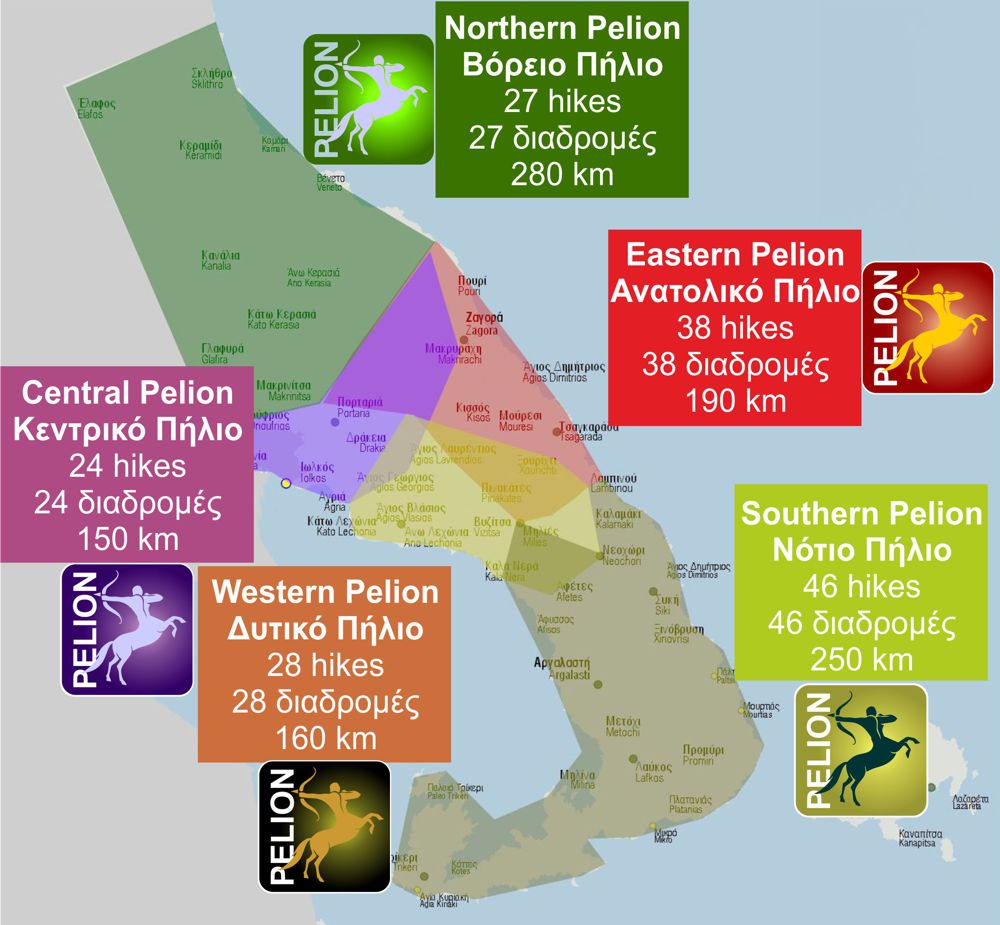
North Pelion topoguide is available for Android devices along with dozens of guides of other regions of Greece, within the hiking application topoguide Greece. Get North Pelion topoguide as an in-app purchase through the application.
North Pelion topoguide is also available for iOS (iPhone και iPad) devices within the hiking application Topoguide Greece. Get the North Pelion topoguide as an in-app purchase via the application.
North Pelion is a member of the Central Greece topoguides group.
It is very interesting that topoguide Greece has the ability to simultaneously display many areas, thus allowing the overall view of the detailed map of the whole of Mt Pelion and the easy alternation of the routes, the Points Of Interest and the dozens of pages of the guide with the countless photos.

