Fytoko-Kato Kerasia
North Pelion
Fytoko-Kato Kerasia

The cobbled path can be seen along the dirt road, on the way from Loudziko to Kerassia
The route Fytoko – Kato Kerasia follows the old pathway between the villages of Fytoko and Kato Kerasia. This old mule track was used for the transfer of firewood and other rural products. As a result of the heavy use of the past, the trail, yet abandoned for decades, is still visible and quite clear.
The village of Kato Kerasia belongs to the broader area of the lake Karla. Lake Karla, which war drained in mid-20th century, is again flooded today.
The trail is crossed in many points by dirt roads and asphalt roads which serve the agricultural activities of this semi-mountainous geographical aea. The only part of this old pathway which has survived until today is covering the distance from Loutziko village and up to Kato Kerasia.
The Fytoko-Kato Kerasia hike starts from Fytoko and follows the asphalt road for 370m. Then, we walk northwest on a dirt road, including small paved sections, through beautiful olive groves and rural cottages. After 2.2 km, we start going downhill towards the spectacular single-arched stone bridge of Loutziko.

The well-built stobe bridge of Loudziko

The chapel of Agios Ioanis in Loudzino

On the Fytoko-Kato Kerassia trail, along the ravine
Text and photos: T. Adamakopoulos
Σήμανση - Επισημάνσεις
The length of the route is 11.1 km. Although it ends at a lower elevation from the starting point, it is not essentially downhill, as it includes many ups and downs that sum up to a significant positive altitude difference. The hike requires 4h30 to 5h.

topoguide Greece
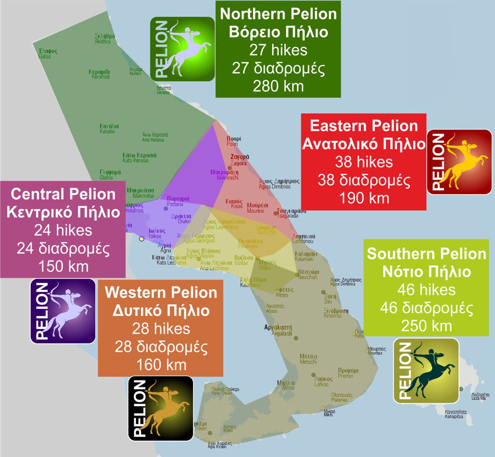
GUIDES TO MT PELION

North Pelion topoguide is available for Android devices along with dozens of guides of other regions of Greece, within the hiking application topoguide Greece. Get North Pelion topoguide as an in-app purchase through the application.
North Pelion topoguide is also available for iOS (iPhone και iPad) devices within the hiking application Topoguide Greece. Get the North Pelion topoguide as an in-app purchase via the application.
North Pelion is a member of the Central Greece topoguides group.
It is very interesting that topoguide Greece has the ability to simultaneously display many areas, thus allowing the overall view of the detailed map of the whole of Mt Pelion and the easy alternation of the routes, the Points Of Interest and the dozens of pages of the guide with the countless photos.

