Stefani-Agios Vasilios
Hiking in Mycenae
Stefani-Agios Vasilios

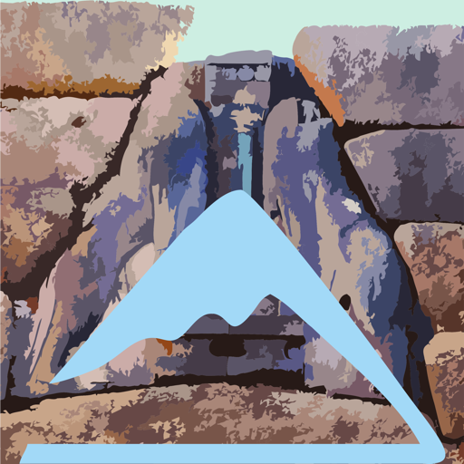
Agios Antonios Pass, Nyfitsa Mountains
(Click to enlarge).
Agios Antonios Pass, Nyfitsa Mountains
The great crossing of the Nifitsa mountains, from Stefani to Agios Vassilios, reveals - in a terrain altered by the road network - a connection with a historical character.
Choosing the shortest route within a grid of possible passages, this crossing has been used in all periods as the main road from the Tenea to Stefani. Stefani spots a major node of the network of old roads: from here one could in 3-5 hours reach Agionori, Prosymna or Mycenae.
The trail starts from Stefani and initially follows the road that leads to the ridge of Nyfitsa Mountains, serving the local windfarm. Outside the village, the route takes the old, clear path that climbs to the first saddle, between the peaks Karoumbalos and Chlogos.
Take again the dirt road and descend to a nice agricultural basin. Pass next to the big well and go up to the ridge of Nyfitsa, where there is a modern building of the windfarm. To the north opens a treeless and stony but relatively smooth slope, while in the foreground the ruins of the old church of Agios Antonios can be spotted.
Walk down this slope with a faint path, to the Dafniaw saddle (sheepfold and ancient fortification). Continue to the Agia Triada chapel and then take the good path. In half an hour or so reach a large fence, walk around and take an alley.
The alley joins the main dirt road to Agios Vassilios. While descending easily to the village, spot on your left the rocky hill with the remains of the once great Frankish castle of the area. Enter the village and end up in the center.
Text and photos: T. Adamakopoulos
Waymarking
Signposts and marks
We will find yellow marks in the old well of Agios Antonios, in Agia Triada (direction sign) and elsewhere. The signage is generally inconsistent, however the orientation is easy.
topoguide Greece
A GUIDE FOR THE TRAVELING
ALONG THE MYCENAEAN LANDSCAPE
The guide Mycenae topoguide is available for Android devices along with dozens of other regions of Greece, within the general application topoguide Greece. Mycenae topoguide is a member of the Pelponnese group. Get Mycenae topoguide as an in-app purchase from the topoguide Greece available regions list.
The Mycenae topoguide guide is also available for iOS devices (iPhone and iPad) through the general hiker application Topoguide Greece. Get Mycenae topoguide as an in-app purchase via the available regions list.
It is very interesting that topoguide Greece has the ability to simultaneously display up to 15 different areas, thus allowing an overall view of the Peloponnese and the easy alternation of hundreds of hiking routes, hundreds of Points of Interest and dozens of pages of the guide with innumerable photos.