Agios Vasilios-Dervenakia
Hiking in Mycenae
Agios Vasilios-Dervenakia

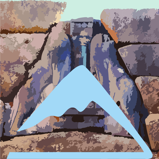
In the caves of the Agios Vasilios-Dervenakia trail
(Click to enlarge).
In the caves of the Agios Vasilios-Dervenakia trail
A route of historical character, the Agios Vassilios-Dervenakia trail has also a great hiking interest. Morover, as a member of the Agios Vasilios hiking network, it is connected to other trails of the area.
The trail follows partly the local section of the Hadrian's Aqueduct, a Roman era infrastructure project of Corinth.
The trail starts from the center of Agios Vassilios. At the exit of the village, the trail follows a path that crosses the base of a large precipice, traversing the slope a bit higher than the level of the dirt road. Soon it reaches the junction with the trail to Stefani, where there is a relevant signpost.
After the ravine, the trail continues on an impressive remnant of the Hadrian's Aqueduct. The trail keeps the same height and meet again the road at its junction to the cave-church of Zoodochos Pigi. Here the trail goes a bit lower and then passes higher than a large livestock facility. After some scrambling, the trail crosses a ravine, dominated by a steep circus of cliffs and caves.
From here begins a steep uphill path, up to the elevation of two caves. After the caves, the trail continues a little uphill and after a downhill part reaches an alley that leads immediately to the site of the statue of Th. Kolokotronis.
The trail enters the local asphalt road. Soon, it passes by the abandoned infrastructures for the commemorative events of the battle in Dervenakia. The asphalt continues downhill, passes by the Agios Kyprianos monastery and meets the old national road Korinthos-Argos near the deserted railway station Nemea-Dervenakia.
Text and photos: T. Adamakopoulos
Waymarking
Signposts and marks

At the beginning and end of the trail as well as at the key junctions, there are direction signs (there are two signposts near the caves).
The whole trail has a fairly dense waymarking with red dots and the navigation is generally safe.
Geosites
Dervenakia caves

Both have been illegally excavated, in search of hidden "treasures".
topoguide Greece
A GUIDE FOR THE TRAVELING
ALONG THE MYCENAEAN LANDSCAPE
The guide Mycenae topoguide is available for Android devices along with dozens of other regions of Greece, within the general application topoguide Greece. Mycenae topoguide is a member of the Pelponnese group. Get Mycenae topoguide as an in-app purchase from the topoguide Greece available regions list.
The Mycenae topoguide guide is also available for iOS devices (iPhone and iPad) through the general hiker application Topoguide Greece. Get Mycenae topoguide as an in-app purchase via the available regions list.
It is very interesting that topoguide Greece has the ability to simultaneously display up to 15 different areas, thus allowing an overall view of the Peloponnese and the easy alternation of hundreds of hiking routes, hundreds of Points of Interest and dozens of pages of the guide with innumerable photos.