Stemnitsa: history, facilities, hiking
Explore Stemnitsa
Stemnitsa is the starting point of Menalon Trail. The village was the connecting ring between the villages of Gortynia with the region and the town of of Megalopoli.
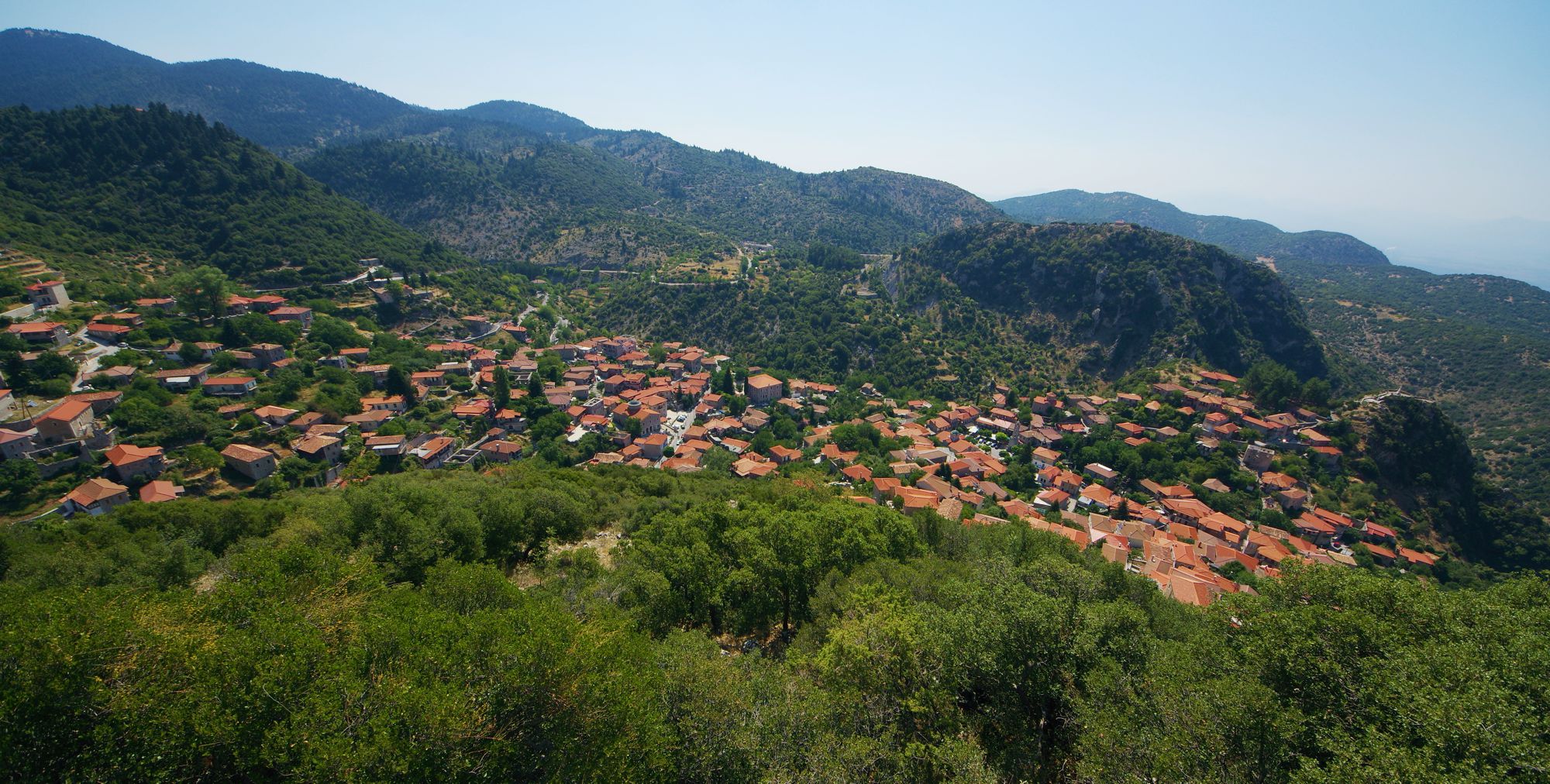
Stemnitsa has been built amphitheatrically on the slopes of mount Klinitsa, an outcrop of Mt Menalon range, around the 1100 m contour line.
Click to enlarge
General view of the settlement
The houses nest into the secluded and limited space of a valley, hosting a small stream and several springs. The core of the settlement is structured around the central square and the main road running along a kind of ledge, while the various neighborhoods spread on rocky outcrops, within shaded folds along the ravine or on the sunny slopes above the square.
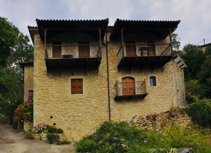
Traditional 2-storey house
Almost all the houses are stonebuilt. The mansions are two- or three-storey buildings with a robust square ground plan, while the rural houses are two-storey rectangle buildings with a standard layout for animal stalls and storage rooms. Five large stone-built fountains provided Stemnitsa with drinking water. The village is nowadays protected under the status of the traditional settlement.
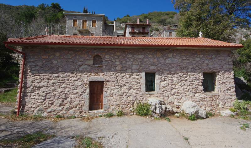
The church of Katigiorgis
The central square is dominated by the church of Agios Georgios, built in 1810, decorated with frescoes painted by Fotis Kontoglou. The parish church is dedicated to Agia Paraskevi. Other important churches are Panagia Bafero, Panagia Karea, and Katigiorgis in the lower neighbour. In the higher part of the village, the late byzantine church of Zoodochos Pigi (or Chrisopigi) was initialy built as the katholikon of a monastery; the auxilliary buildings of the Zoodochos Pigi monastery housed the school of Stemnitsa during the Turkish occupation in 1821 and the First Peloponnesian Senate just after the 1921 Revolution.
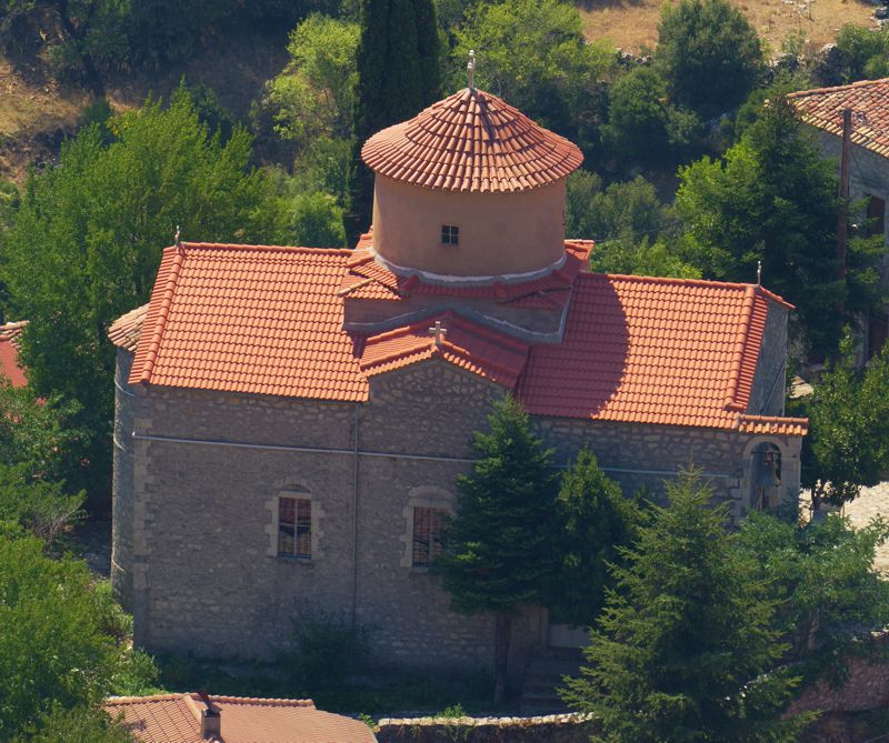
The Panagia Karea church
The area around the village was inhabited since ancient times and Pausanias refers to the site in his Arcadian Book as the "savage and brutal settlement of Ypsous". The ancient settlement Ypsous took its name from its mythological founder, Ypsountas, son of the legendary king of Arcadia, Lykaon. The name Stemnitsa probably dates to the Middle Byzantine period, when the Peloponnese received successive waves of Slavic tribes.

The Emyaloi monastery
Apart from livestock rearing and agricultyre, Stemnitsa was oriented towards commerce and workmanship of metals, such as silversmith, that became an important source of revenue. This tradition continues today in the Stemnitsa Goldsmiths' School.
An important hub of the revolution during the 1821 War of independence, Stemnitsa served as headquarters of the First Peloponnesian Senate and was the first informal capital of the newborn Greek nation. Stemnistsa is also the birthplace of several important scientists, politicians and other prominent personalities.
Until recently Stemnitsa was the seat of the municipality of Trikolonoi, while today is a commune of the Gortynia municipality. The village offers many accommodation and catering options.
Hiking around Stemnitsa
The Stemnitsa hiking guide includes 13 routes spreading around the village. Most are circular trails or short walks to prominent viewpoints, particularly suitable for families or an afternoon stroll.
Text and photos by T. Adamakopoulos

topoguide Greece
A guide to Mt Menalon
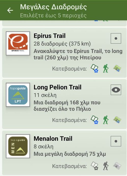
Mt Menalon topoguide is available for Android devices as one of the dozens of available region of Greece via the topoguide Greece application. Mt Menalon topoguide is a member of the Peloponnese group. Get the Mt Menalon guide as an in-app purchase through the app.
Mt Menalon topoguide is also available for iOS (iPhone & iPad) devices via the application Topoguide Greece. Get the Mt Menalon guide as an in-app purchase through the app, found in the Peloponnese group.
topoguide Greece offers active navigation along the trails, as well as a comprehensive guide to the geography, the nature and the culture of the area.

