Geography of Mt Menalon
The geography of Mt Menalon area
Mt Menalon is the large mountain complex that occupies the center of Peloponnese and with its extent, geomorphology and vegetation cover determines the environmental conditions of almost the entire Arcadia prefecture.
More than the word "mountain", the term which suits Mt Menalon is "mountain landscape". Indeed, Mt Menalon, merely 1980m high, does not have the rugged ridges of Mt Taygetos and Mt Chelmos, the precipices of Mt Erymanthos, or the alpine meadows of Mt Ziria. It is somewhat similar to Mt Parnon: the two mountains share the peculiarity of a multifaceted, extensive mountain topography, which with its valleys creates the opportunity for installation and activities in the core of the mountain - not the case for the four highest mountains of Peloponnese.

Mt Menalon - Mt Parnonas also to some extent - offers a hinderland: within its folds and ravines, it provide opportunities for inhabitation, transportation and production - if not civilization. Through these qualities, Mt Menalon participates in the Great History - not as a mass slowing down the pace of the Great Events, but as an ingredient of their momentum.
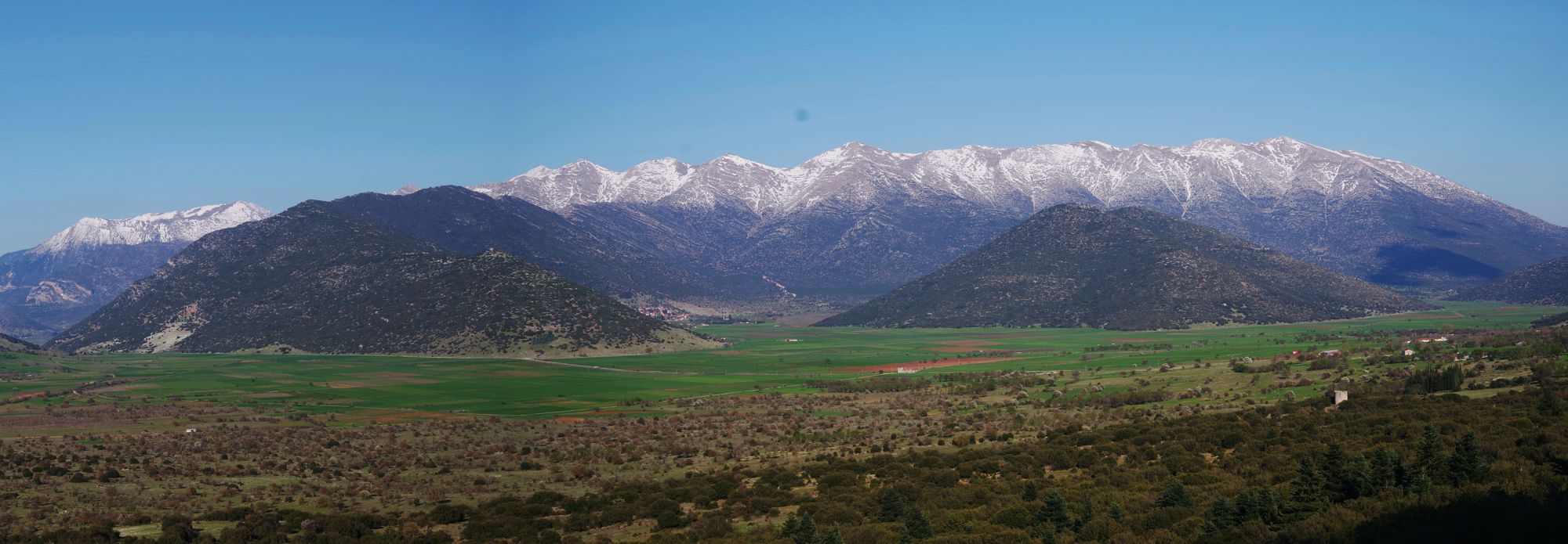
The highest peaks of Mt Menalon
Click to enlarge
The highest peak of Mt Menalon is Ostrakina (1,981m.), which rises in the eastern part of the massif. Other high peaks are Sfentami (1,870m), Gelati (1,868m), Mesovouni (1,860m), Aidinis (1,849m), Mavri Koryfi (1,818m) and Mourtzia (1,761m).
Behind its highest summits, Mt Menalon stretches westward with a series of vague peaks, lost in a labyrinth of plateaus and ravines. The highest peak of Western Menalon is Pliovouni (1,643m). Further west, between the valleys of Loussios and Lagadiano Rema rivers, stretches a sea of high hills, a part of which is conventionally called the Lagadian Mountains, but there are also several other hill complexes without a structure, which disappear anonymously towards Ladon river valley and Olympia area.

Mantineia
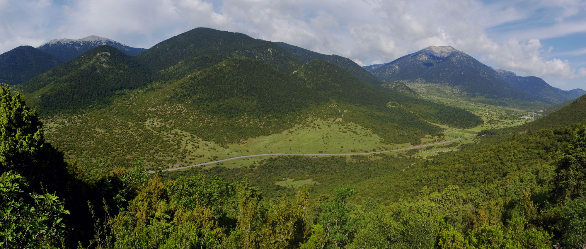
The Kapsia-Levidi pass
Click to enlarge
Ostrakina peak dominates Kardaras valley
The eastern part of Mt Menalon dominates a large zone of basins interposed between the center of Arcadia and the eastern mountain arc, formed by the Sagias-Trachy-Lyrkio-Artemisio mountain range.
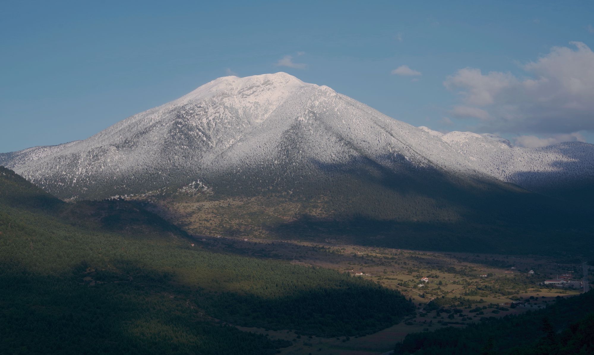
The east face of the Ostrakina peak, highest summit of Mt Menalon
Click to enlarge
Mt Menalon is much more than a high mark of the gravity center of Arcadia: with the violent runoff of its steep eastern slopes it created the Mantinean plain, a long series of basins around Tripoli, Nestani, Mantinia, Orchomenos and Kandila. Mt Menalon does not simply gave birth to these basins, but it constantly feeds them with water and snow.
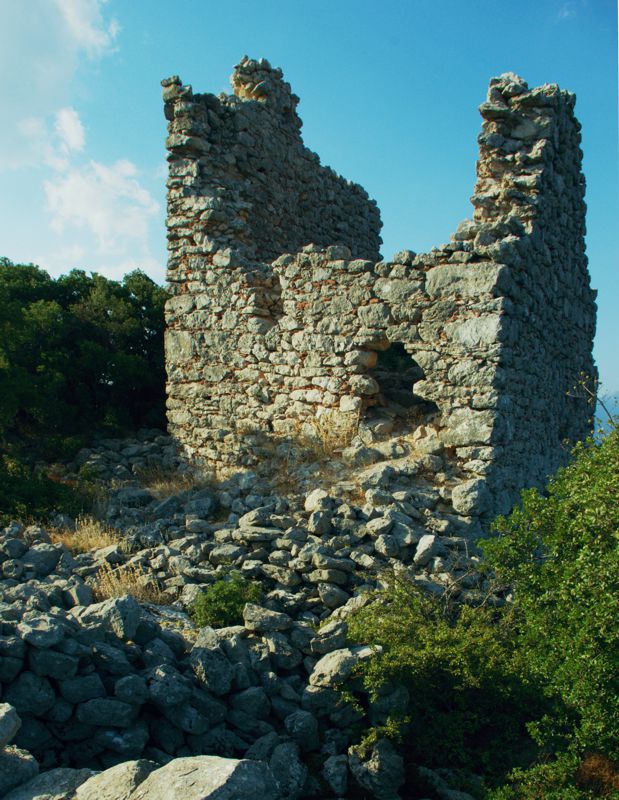
The interest for this rich zone was maintained in the following centuries and the landmarks were equiped with castles and towers, through which the Byzantines and the Franks supervised the communications and controlled the economy of the region.

In addition to the network of country roads that circle Mt Menalon and connect Tripoli to Megalopolis, Sparta and Patras, the new highway came through Artemisio and eliminated the time distance with Athens, turning Tripoli and Mantineia into hubs of a Athens-centered residential net, which extends to Kalamata and Sparta.
Gortynia
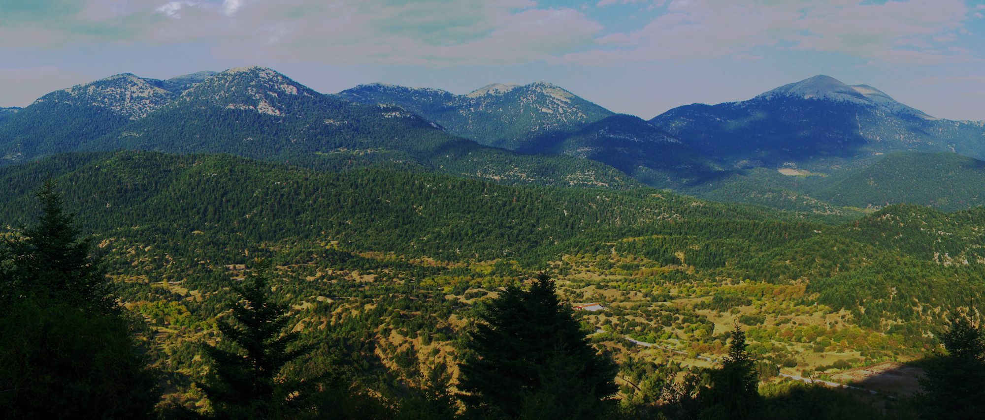
The mountain ridge from Tzelati (left) to Mourtzia (right)
Click to enlarge
The western part of Mt Menalom, together with the Lagadian Mountains, belong to the Gortynia district. Desperately mountainous, enclosed, introverted and inaccessible, Gortynia was the demographic and social cornucopia of southern Greece: from its rocky bowels it perpetually gave birth to heroes and demons, send to populate Western Peloponnese, as well as Attica and the Americas - workers, traders and politicians. The small, poor and barren Gortynia has been the mother of modern Greece.

The ancient period of Gortynia can be read through the few monuments and some words of Pausanias. Several small towns are known from classical antiquity, such as Gortyna, Teuthis, Methydrio, Mainalia Theisoa, as well as some sunctuaries and passageways. Gortyna was an important city, adjacent to a important sunctuary of Asklepios and flourished from the Geometric period until the Byzantine times.
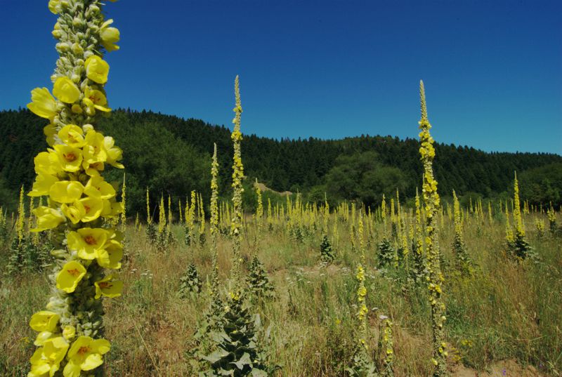
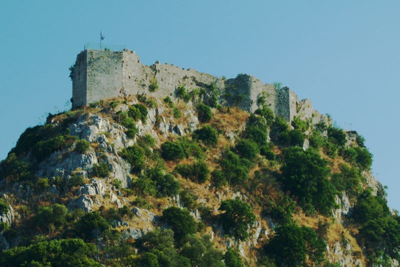
Little is known about the early and mid-Byzantine period, as the area was located away from the main lines of the History. More information is available in late Byzantine years, when the important monasteries of Philosophou and of Agios Ioanis Prodromos were founded. In the next period, the interest of Francs for the Peloponnese and the prolonged conflict in its perimeter are reflected within Gortynia and underlined by the construction of fortifications in the villages of Karytena, Akova, Magouliana, Valtessiniko and others.
Undoubtedly, the period that begins with the withdrawal of Venetians (1715) and lasts until the liberation from the Ottoman domination (1825) is a period of important tensions and exceptional opportunities for Gortynia, as its wealth and defensive assets corresponded to the challenges of the times. The steady productive mountain resources, the water mills of Dimitsana manufacturing gun powder, the new social and economic roles of the monasteries, the paramount importance of the security provided by the mountainous hinterland in comparison to the exposed and constantly threatened lowland perimeter are reasons of the social, economic and administratine development of Gortynia. The pinnacle of power in the region are the powerful families of the Kolokotronis, Plapoutas and Deligianis, who initiated or have been involved in the Revolution of 1821 and subsequently in the administration of reborn Greek state.
From 1833 until 1997 Gortynia was one of the four provinces of Arcadia, including nine municipalities (Gortynos, Dimitsanas, Trikolonon, Iraias, Tropeon, Kontovazenas, Kleitoros, Lagadion and Vytinas) and the role of the capital city was assigned to Dimitsana. In 2010 the reform project Kallikrates reconstituted the province of Gortynia administratively and geographically as Gortynia Municipality; Dimitsana is again its capital.
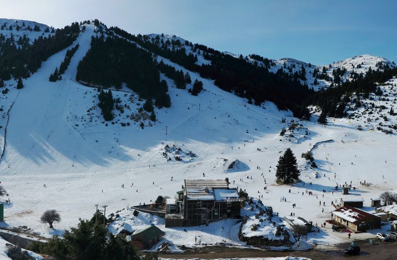
Text and photos by T. Adamakopoulos
topoguide Greece
A guide to Mt Menalon
Mt Menalon topoguide is available for Android devices as one of the dozens of available region of Greece via the topoguide Greece application. Mt Menalon topoguide is a member of the Peloponnese group. Get the Mt Menalon guide as an in-app purchase through the app.
Mt Menalon topoguide is also available for iOS (iPhone & iPad) devices via the application Topoguide Greece. Get the Mt Menalon guide as an in-app purchase through the app, found in the Peloponnese group.
topoguide Greece offers active navigation along the trails, as well as a comprehensive guide to the geography, the nature and the culture of the area.

