Hiking in Tenaro
Hiking in Tenaro
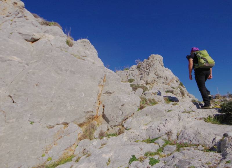
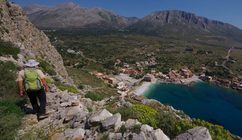
The zone south of Mezapos and up to Cape Tenaro is adorned with the most rocky and rugged landscapes of Mani. Much of this wild area is inaccessible by vehicle and the only way to get to some of the area's most remarkable landmarks is by hiking.
Agitria (Panagia Odigitria) and the Byzantine castle in Tigani are served by relatively good paths, walkable even by children. On the other hand, the crossing of Poula, the rocky plateau on Kavo Grosso, though short, is relatively painful because of the rocky terrain. The descent from Ochia to Gerolimenas takes advantage of the impressive "Skali", the old mountain access of the small harbor.

On the slopes of Mt Sagias, the paths that lead to Agia Pelagia and Agios Asomatos chapels are in good condition and the walking itself as well as the aesthetics of the destination location compensate the hiker. Above the Boularii, the path to Pepo has been closed by the vegetation, while the cobbled path to Leontaki is still walkable.

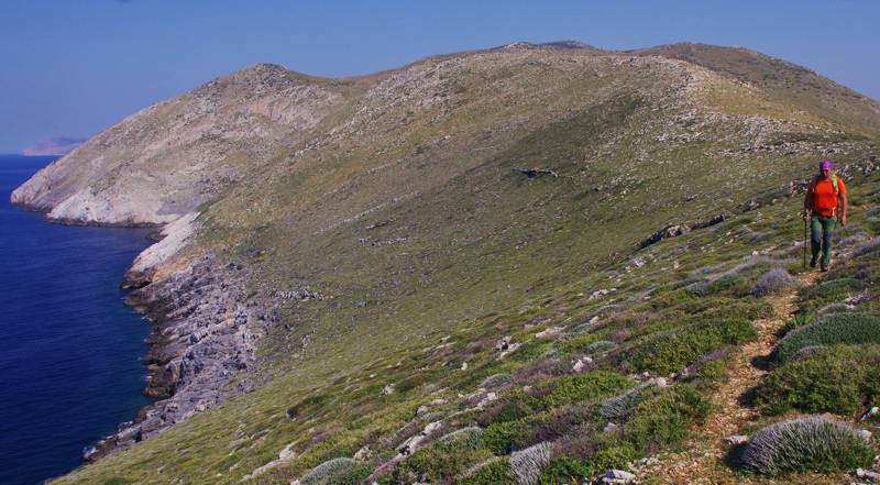
The trails at Cape Tanaro are in relatively good condition. For an introduction, you can make the short hike from Agriokampi to the old cemetery of the Mianes (till the chapel of Agii Theodori), which offers some nice views to the surrounding land- and seascape. Much more thrilling is the descent from the Mianes to the Tenaro lighthouse, an easy downhill route with great views.
Of course, the best hike in the area is the wide track that served the Tenaro lighthouse. The trail is well trotten and almost level and can be done by the whole family. Arriving at the majestic lighthouse will fully satisfy the hiker.
Hikes near Gerolimenas

 Alika-Kyparissos (L= 1834 m)
 Ochia-Gerolimenas (L= 1680 m)
 Diporo-Leondaki (L= 1929 m)
 Agia Kyriakii-Agitria (L= 1172 m)
 Stavri-Tigani (L= 3130 m)
 Nomia-Kalonii (L= 1512 m)
 Mezapos loop (L= 5370 m)
 Kalonii-Asomatos (L= 3555 m)
 Kalonii-Agia Pelagia (L= 2625 m)
 Katopagi, Ippola (L= 2495 m)
 Alyka-Leontakis (L= 4256 m)
Hikes in Cape Tenaro

 Kokkinogia-Cape Tenaro (L= 2006 m)
 Mianes-Kokkinogia (L= 1660 m)
 Paliros-Koureli (L= 1528 m)
 Agriokambi-AgTheodori (L= 691 m)
 Mianes-Tenaro lighthouse (L= 4405 m)
 Mermari-Grigorakis tower (L= 1445 m)
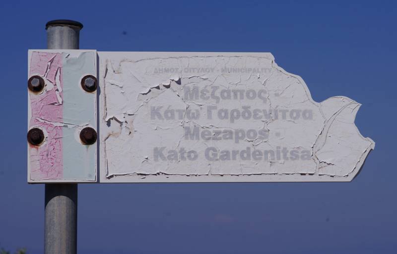
Note that on all the above hikes, waymarking is completely non-existent - there are just a few old signposts left. Note also that there are some more hikes that may have signposts at their start/end points and even appear on obsolete maps, guides and websites. However, they are not included in this list because, even if a section is faisible, the spiny vegetation makes impossible to complete the trail.
All the above hikes are included in the hiking application Tenaro topoguide.
Tenaro topoguide is available as an in-app-purchase within the the regional application Mani topoguide, designed for Android devices.
Tenaro topoguide is also available as an in-app-purchase within the app Topoguide Greece, designed for iOS devices (iPhone and iPad).
topoguide Greece
Self-guiding in Mani peninsula
All the above hikes are included in the guide Tenaro topoguide.
Tenaro topoguide is available for Android devices as one of dozens of regions of Greece offered by the application topoguide Greece. Get the Tenaro topoguide as an in-app purchase.
Tenaro topoguide is also available for iOS (iPhone και iPad) devices as one of the regions offered in the hiking application Topoguide Greece. Get the in-app purchase Tenaro topoguide and explore Mani peninsula.

